VALLE MAIRA, VALLE STURA, VALLE TANARO, VALLE VARAITA, VALLE VERMENAGNA, VALLI PO BRONDA E INFERNOTTO
GREAT CROSSING OF THE ALPS
248 km
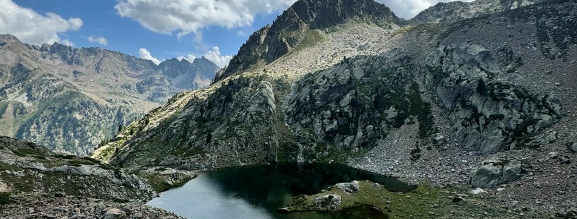
Imagine 350 kilometres of trails, 20,000 metres of elevation gain and 20 stages through the most authentic landscapes of Piedmont. This is the Grande Traversata delle Alpi (GTA) in the Cuneo area — a trek that combines untamed nature, centuries of history and the vibrant Occitan culture. The route winds its way from the majestic peaks of Monviso through the Occitan Valleys to the wild heart of the Maritime Alps Park.
As a mountain enthusiast and author of "Libera. Prima che i dopo diventino mai" ("Free. Before Afters Turn Into Never"), I’ve had the privilege of experiencing the magic of this route firsthand. In this short guide, you’ll find everything you need to make the most of your adventure.
Distance
248 km
Route time
94 hours 55 minutes
Starting altitude
1753 mt
Ending altitude
3 mt
Altitude difference
19897 mt
Season
AUTUMN , SUMMER
Targets
SPORTSPERSON
The route was mapped in the summer of 2024.
Please note that itineraries may include roads where motor vehicles are allowed. Authors and trail testers are not responsible for the information contained.
No result found
No result found


Discover
more
The Route: Key Facts and Must-See Stages
The GTA in the Cuneo area stretches over 20 stages, covering roughly 350 kilometres in total. Here are the main sections:
• In the Realm of Monviso and the Occitan Valleys
The trek begins in the shadow of Monviso (3,841 m), passing through the Po, Varaita, and Maira valleys. Must-see stages include the Sanctuary of Castelmagno and the ancient Occitan villages of Elva.
• In the Heart of the Maritime Alps
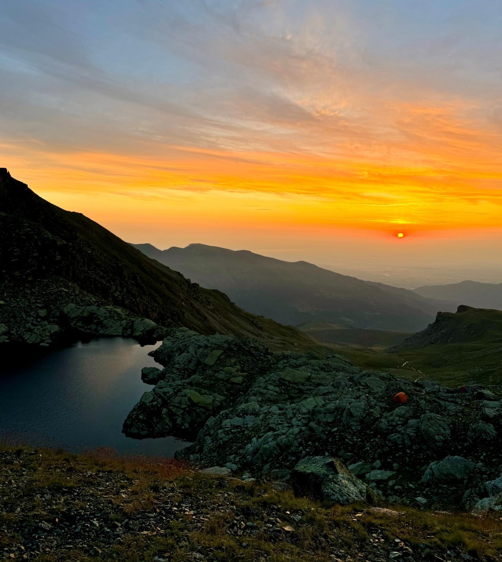
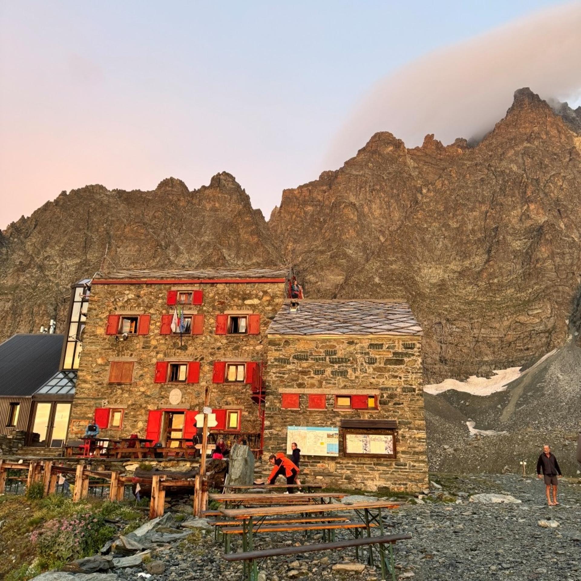
Crossing the Stura and Gesso Valleys, the route enters the Maritime Alps Natural Park. Along the way, hikers encounter historic mountain huts, such as Rifugio Morelli-Buzzi, and numerous natural gems.
• Towards the Ligurian Border
The final stages wind through the Ligurian Alps, passing landmarks such as Rifugio Garelli and offering sweeping views that extend all the way to the Ligurian Sea.
Walking Through the Occitan Valleys: Voices, Stones, and Living Memories
Along the GTA, the landscape is shaped not only by mountains and valleys but also by stories that breathe. Here, in hilltop villages like Stroppo and Bellino, Occitan isn’t a museum relic — it lives on in the voices of the elders chatting in the streets, in the songs that echo during village festivals, in the melodies carrying centuries of life through these valleys. It feels as though time itself has a hidden depth here: you walk immersed in nature, yet every sound, every word reminds you that you are journeying through a proud and living culture.
And then there are the stones — silent yet eloquent. Romanesque churches that have defied the centuries, votive pillars that speak of a humble, deep-rooted faith, and houses built through generations of patience, their slate roofs seeming to rise organically from the mountain itself. Here, architecture isn’t an aesthetic choice but a constant dialogue with the environment — an adaptation to both the hardship and the beauty of life at high altitude.
In this ongoing dialogue between people and the land, ancient crafts endure, including woodwork, wool weaving, and stone carving. These are not relics of folklore, but gestures repeated for centuries, passed down from father to son, like mountain farming that still follows the rhythm of the seasons rather than that of the markets. Walking along the GTA, in the end, also means listening to the quiet yet steadfast voice of an identity that has refused to fade into oblivion.
Must-See Highlights
• Entracque Wolf and Wildlife Centre: A must-visit stop for understanding the complex relationship between humans and the Alps’ most emblematic predator. The centre offers an immersive experience into the life of the wolf through cutting-edge multimedia exhibits and wildlife observation areas. A visit here adds real depth and meaning to your journey along the GTA.
• Sanctuary of Sant’Anna di Vinadio: At over 2,000 metres above sea level, the Sanctuary of Sant’Anna di Vinadio welcomes travellers in the heart of the Maritime Alps. Considered one of the highest sanctuaries in Europe, it has been a place of pilgrimage and a key stop for those walking the GTA (and beyond) for centuries. The silence that envelops its walls and the sweeping views over the valleys below offer a profound, almost timeless sense of peace. It’s a place where spirituality intertwines with the mountain itself — where every step feels like a small act of devotion.
• Elva Hair Museum: A unique testament to an ancient Occitan craft, this museum tells the remarkable story of the collection of women’s hair — a practice that continued until the 1950s, when it was used to create fine fabrics. Visiting the museum offers a fascinating glimpse into a tradition that gives Elva its singular charm and character.
Flora and Fauna: A Treasure of Biodiversity
Trekking along the GTA in the Cuneo area means entering a world where nature still sets its own ancient rhythm.
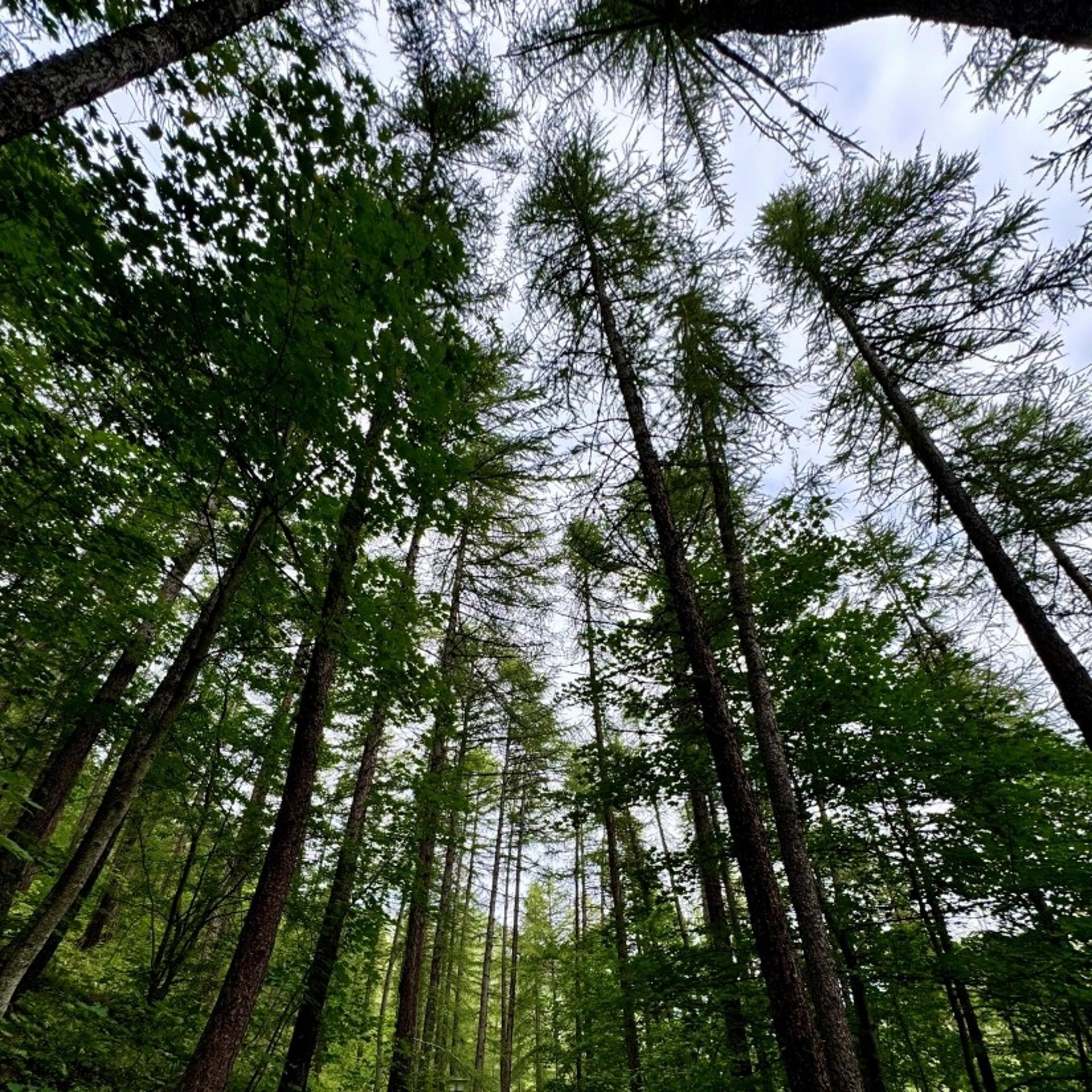
As you climb higher, the forest breathes differently: the resinous scent of Swiss pines and larches gives way to alpine meadows where, in spring, the deep violet of gentians and the soft pink of rhododendrons burst into bloom.
Among the rocks of the Maritime Alps, with a bit of luck and a patient eye, you might spot the Argentera Saxifrage — an endemic alpine plant that clings to the stone, defying both wind and altitude.
And then there are the true rulers of these mountains.
Along my journey, I often met the curious gaze of ibex, watched chamois leap effortlessly across the ridges, and held my breath as a golden eagle soared overhead.
Each encounter is a gift — a fleeting moment of pure wonder.
These valleys, especially within the Maritime Alps Park, are also home to the wolf. Its presence is discreet, a fleeting shadow among the trees, yet it remains a vital part of this ecosystem.
More common, though no less thrilling, are sightings of deer and roe deer — particularly at dawn or dusk, when the forests come alive with their quiet movements.
Preparation and Equipment: Practical Tips
• Training: Begin your physical preparation at least 2–3 months in advance but remember that mountain experience is just as important. Focus on uphill walks carrying a rucksack weighing at least 10–12 kg.
• Essential equipment:
◦ Well-broken-in trekking boots
◦ Technical rucksack (30–40 litres)
◦ Layered clothing (technical and versatile — yes, even in summer)
◦ First aid kit, including an emergency thermal blanket
◦ Topographic maps and a GPS device with up-to-date routes
• The best time to visit is from June to September, when the mountain huts are open and the snow has melted.
Where to Stay: Mountain Huts and Shelters
There are several excellent accommodation options, and the mountain huts along the route also offer high-quality services.
It’s best to book at least two to three weeks in advance if you’re travelling in July or August.
Personal Experience: The Value of Slow Travel
Walking the GTA through the Cuneo area taught me that the true journey isn’t about reaching the end but about savouring every step along the way.
The most precious moments? Resting beneath the magnificent Piccole Dolomiti di Cuneo — the striking Rocca la Meja — chatting with an elderly shepherd in the Val Grana who shared stories in Occitan, listening to the silence broken only by the whistle of marmots, and enjoying a well-earned rest at the Valdieri Thermal Baths after a particularly challenging stage.
Tastes of Tradition: Flavours Along the Trail
As you walk from village to village, from hut to hut, the GTA is not only a physical challenge but also a journey through local flavours. You might find yourself tasting soupe coumplete — a hearty, warming soup that has comforted mountain evenings for centuries — or discovering the rich, aromatic flavour of Castelmagno DOP, an alpine cheese infused with the scent of mountain herbs. In the small village shops, look out for fragrant, rustic rye bread, and don’t miss the local cured meats and artisanal honey — each one telling the story of this land and the people who have shaped it.
Before You Go: Practical Information
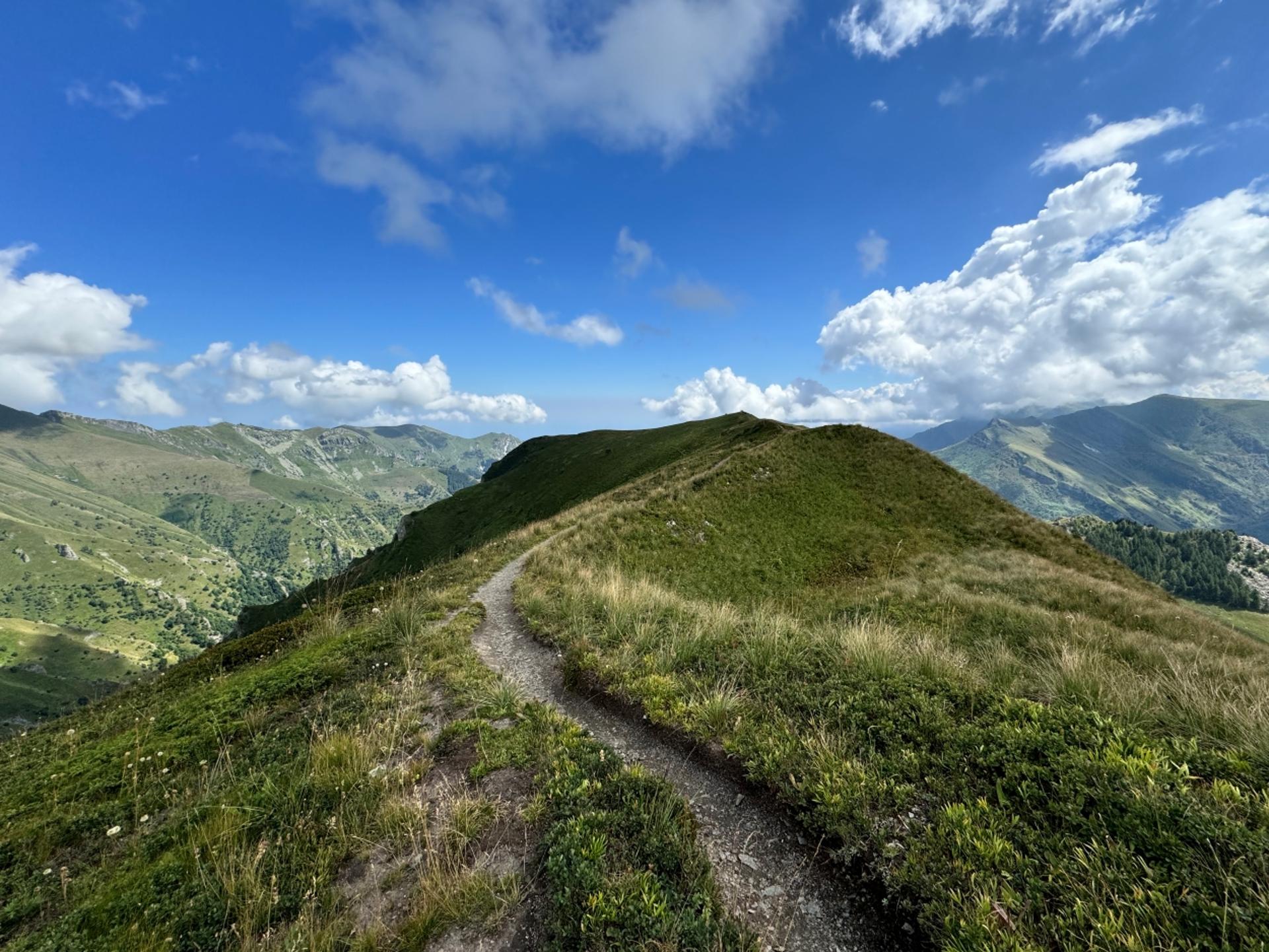
The trail is well marked with the GTA symbol and the classic red and white waymarks, so it’s easy to stay on track. However, keep in mind that several stages are rated EE (for Experienced Hikers): these are not simple walks but routes that require good physical fitness, proper hiking boots, and a detailed map.
Why Hike the GTA in the Cuneo Area
This trek is more than just a journey — it’s an immersion in Occitan culture, Alpine history, and unspoiled nature. It’s the discovery of a version of Italy that still preserves age-old traditions, breathtaking landscapes and a unique human heritage. From the Wolf and Wildlife Centre in Entracque to the Hair Museum in Elva, each stage unveils another facet of this extraordinary land.
Additional Information
◦ Official GTA Website: https://www.visitpiemonte.com/en/itineraries/great-crossing-of-the-alps-south-piedmont
◦ Weather Forecasts: ARPA Piemonte
◦ Local Guides: (ATL contacts)
◦ Download the map: here
Marika Ciaccia, trekking enthusiast and author, completed the GTA in 2024. Her book “Libera. Prima che i dopo diventino mai” ("Free. Before Afters Turn Into Never") recounts this transformative experience.
esempi di as xml: xml serveResource con templateId (chiave)
esempi di as json: json serveResource con templateId (chiave)
esempi di as json e siteId: json serveResource con siteid
en_US
What
to do
en_US
Experiences
No result found
en_US
Where
sleeping
en_US
Offers
en_US
Info


