COSTIGLIOLE SALUZZO, CUNEO, VALLE VARAITA, VERZUOLO
CUNEO - CUNEO: THE CLIMB TO COLLE DELL'AGNELLO
165 km
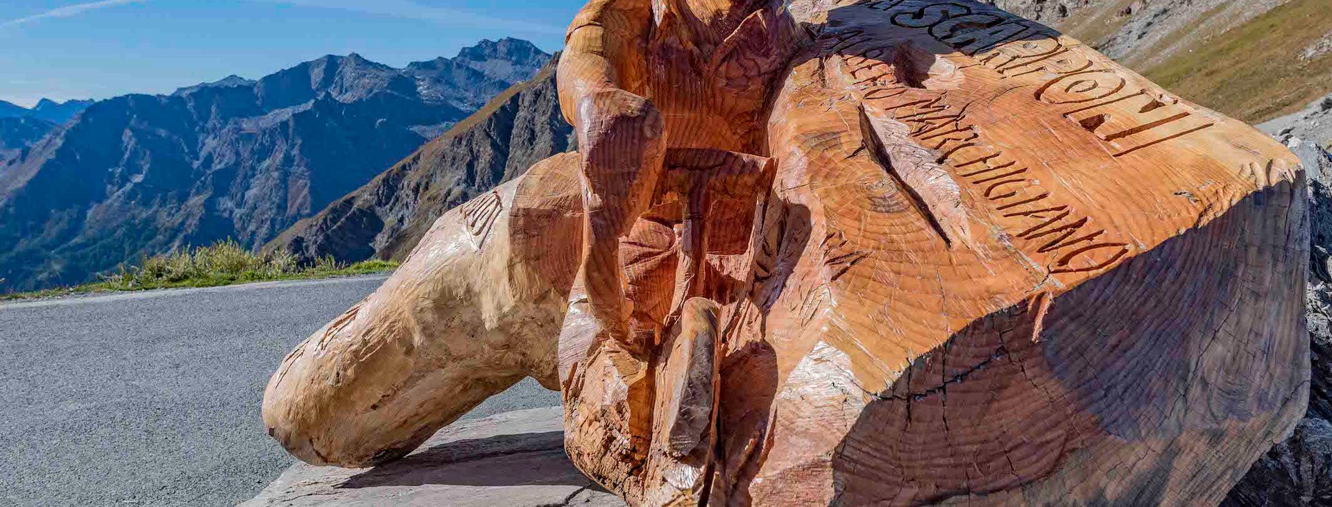
The Colle dell’Agnello with its 2,744 meters of altitude is, for a few metres, second only to the Stelvio pass and in recent decades it has featured increasingly more often in the stages of the Giro d’Italia. Its first appearance was in 1994, when the race set off from France, and was headed for the “Deux Alpes”. In 2000 and 2007, the Colle dell’Agnello, together with the Col de Isoard, again appeared in the same final race and was the scene of the battle between the aspiring winners of the event. A hill that has written and participated in the history of cycling: here, in 2016, after Kruijswijk’s disastrous fall, Vincenzo Nibali regained the morale and energy that allowed him to recover the next day, winning the pink jersey in Sant’Anna di Vinadio.
Difficulty level
Difficult – suitable for trained cyclists
Distance
165 km
Altitude difference
2690 mt
Lowest / Highest point
450 m min - 2.744 m max
Season
SUMMER
Recommended season
From June to September
Tour type
Round trip
Suitable for
Racing bike
Targets
SPORTSPERSON
Please note that itineraries may include roads where motor vehicles are allowed. Authors and trail testers are not responsible for the information contained.
No result found
No result found
Discover
more

The route starts from Cuneo, in Piazza Galimberti. The first 30 km can be ridden without too much exertion, as you cross the entire Cuneo plain. This trip across the Cuneo flatland will take you to Colle dell’Agnello, which is located at the end of the Varaita Valley. The first part of the climb you will face goes up with slight slopes, immersed in a mixture of areas that are still cultivated, and deciduous woods. You will pass through some of the small towns and villages of the valley, rich in history, including Piasco, Rossana, Melle and Sampeyre.
This territory draws many tourists for the architecture of its alpine stone villages and slate roofs; the Museo del Tempo e delle Meridiane in Bellino preserves real treasures from the last 300 years; the Alevè wood is the largest European stone pine wood.
From Cuneo, you will easily reach Casteldelfino without exerting yourself, a small mountain village located 1,300 metres above sea level. From here, having passed the residential area in the centre, the road rears up and with a gradient of around 10% you quickly reach the Castello dam and immediately afterwards Maddalena, together are better known as Pontechianale. The road now climbs with challenging slopes beyond the village of Chianale until it reaches the mythical “bar” that closes the road to the hill in winter. Continue towards the top, from here you are about 10 km away from the summit, with an elevation gain of 1,000 meters. The first 8 km you will face are really very demanding with gradients always exceeding 10%, and the maximum peaks with 15% slopes. Although the road climbs in hairpin bends, there are no stretches that allow you to catch your breath. Only two km from the summit, the slope drops, and then resumes in the last 1,000 meters but the vision of the hill will provide you with the energy you need to finish the climb.
The return trip sticks to the same route until you reach Venasca. Here, you can take the variant that leads to the Rossana hill: a small pass famous with local cyclists, used for winter training.
To shorten the tour you could set the starting and finishing point in Costigliole Saluzzo or Verzuolo, only missing out the stretch on the Cuneo plain.
Download Cycling and Cycling Tourism Itineraries in the Province of Cuneo
The ascent to Colle dell'Agnello is part of the “Legendary Climbs”, six climbs made famous by the competitive achievements of professional cyclists, with a calendar of days reserved for cyclists to ensure a truly unique experience in the unspoiled nature of the Cuneo Alps. More information at: https://www.scalateleggendarie.it/en/home-2/.
esempi di as xml: xml serveResource con templateId (chiave)
esempi di as json: json serveResource con templateId (chiave)
esempi di as json e siteId: json serveResource con siteid
en_US
What
to do
en_US
Experiences
No result found
en_US
Where
sleeping
en_US
Offers
en_US
Info