VALLE STURA, VINADIO
CLIMB TO THE SANCTUARY OF SANT’ANNA DI VINADIO
89 km
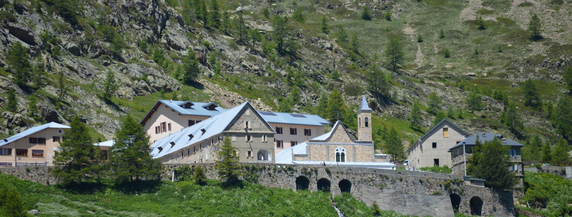
One of the legendary climbs of the Giro d’Italia, a “must” for every cycling fan from the Cuneo area. The climb to the sanctuary of Sant’Anna di Vinadio is much more than a normal uphill bike ride. This place of pilgrimage is one of the best-loved sites in Valle Stura and you can only see it as you travel the last few kilometres of the long climb, along one of the few flat stretches where you can catch your breath. The last two kilometres, with 20% stretches, are the last price you need to pay to reach the religious landmark, framed by great peaks and alpine lakes.
Difficulty level
Difficult – suitable for trained cyclists
Distance
89 km
Altitude difference
1700 mt
Lowest / Highest point
633 m min – 2.018 m max
Season
SUMMER
Recommended season
From June to September
Tour type
Round trip
Suitable for
Racing bike
Targets
SPORTSPERSON
Please note that itineraries may include roads where motor vehicles are allowed. Authors and trail testers are not responsible for the information contained.
No result found
No result found
Discover
more
The complete route you’ll tackle is 89 km long, with a difference in height of about 1,700 meters. It is a round-trip itinerary that offers an approach to the final climb on a secondary paved road, known as “ex militare”, which will take you up the Stura Valley away from the main road network, on the shaded side of the ascent, through green woods and a privileged view of the villages in the valley.
Start from Borgo San Dalmazzo, leave the town immediately by taking the “Via dei Boschi”, largely usable only on foot or by bike. You’ll pass Roccasparvera, Gaiola, Moiola, Demonte and Aisone. A short climb will bring you to the Forte Albertino of Vinadio, and you’ll then reach the hamlet of Pratolungo, from which, following the signs, the real climb begins.
The first section features hairpin bends with a steady ascent; it then continues up a constant, steep ascent, leaving you a few stretches in which to catch your breath, along the river flanked by stone military structures. Another series of hairpin bends helps you to gain altitude as you climb as far as the great glacial plateau, from which you can see the sanctuary. Once at the detour to the Lombardy hill, you start the last, very challenging 2km, which lead you to the destination.
You’ll return along the same road, and can opt to use the state road, which is faster but also busier.
Download Cycling and Cycling Tourism Itineraries in the Province of Cuneo
esempi di as xml: xml serveResource con templateId (chiave)
esempi di as json: json serveResource con templateId (chiave)
esempi di as json e siteId: json serveResource con siteid
en_US
What
to do
en_US
Experiences
No result found
en_US
Where
sleeping
en_US
Offers
en_US
Info