ENTRACQUE, ROCCAVIONE, VALDIERI, VALLE GESSO, VALLE VERMENAGNA
CICLIMATICO TRAIL
48,5 km
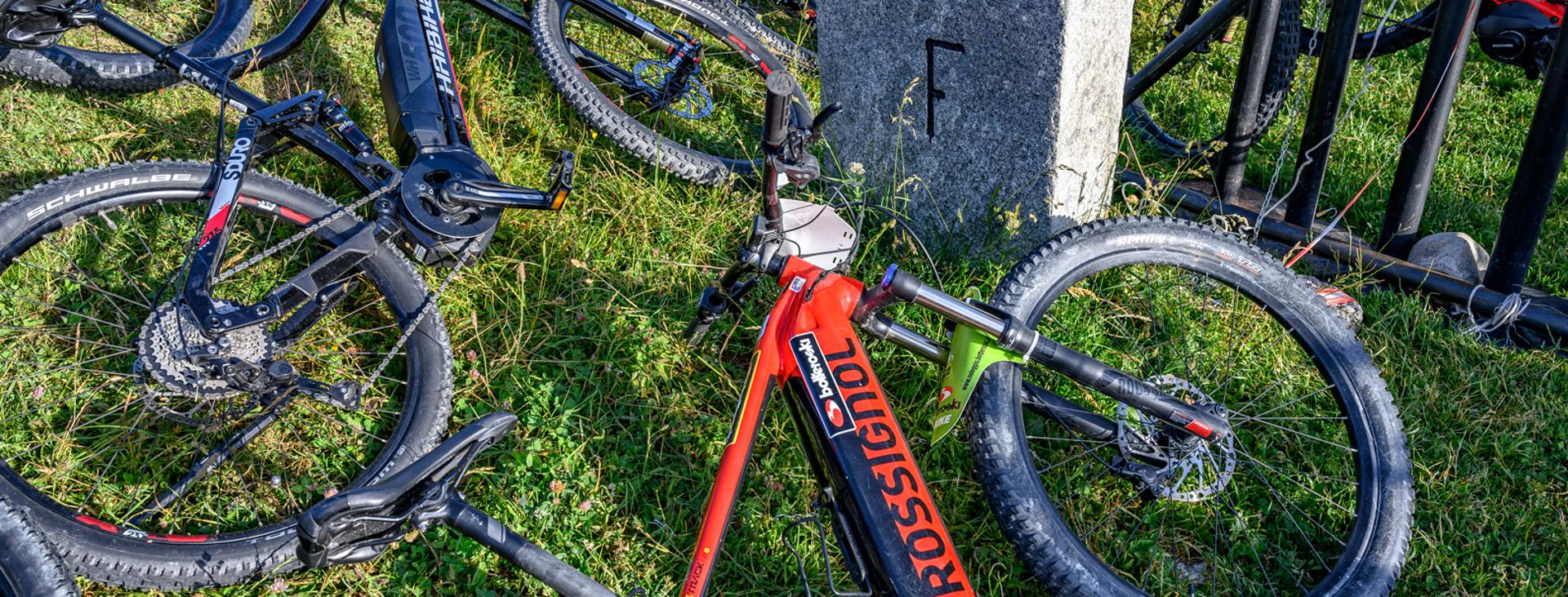
The departure and arrival points of the “CiClimatic Paths” route are at the Roccavione railway station. The purpose of the circuit is to raise public awareness about climate change using a sustainable and ecological means: the bicycle or e-bike. A ring route of about 49 km with an elevation gain of 730 metres to be tackled on a gravel bike, MTB or e-bike. A route that develops mainly on secondary roads, cycle paths and dirt paths with an easy surface and that can be accessed and used by all levels of cyclists.
Please note that itineraries may include roads where motor vehicles are allowed. Authors and trail testers are not responsible for the information contained.
The Stages
the route
No result found
No result found
Discover
more
Leave your car in the square of the Roccavione railway station and continue along Via Martiri della Libertà. After crossing the central road, continue along Via delle Fontane and at the end, turn right into via Santa Croce.
At the first intersection, keep left towards the gardens of Ara, and once you have reached the public park, follow the unpaved cycle path to Tetti Cressi. Take the Tetti Cressi road that crosses several roofs, and having reached the last one, turn to the right staying on the asphalt and then turn right again, taking the dirt road under the chestnut wood. The short dirt road leads you to the provincial road towards Brignola / Roaschia. Follow it until you take the cycle path of the Bandito caves, a special conservation area, and when you reach the town of Tetto Cialombard, leave the cycle path to continue along the road that connects to the provincial road.
Take the path that crosses the former quarry of Mount Saben, under the Phoenician juniper reserve, and after a while you will see the first work: “Effetto farfalla”. Continue along the uphill road that leads to the Necropolis, and from there, having crossed the reconstruction of the village, take the path that goes along the ancient bealere, leading to the brotherhood and village of Valdieri.
From the town hall, take via Garibaldi and continue along the Santa Croce road until you reach the provincial road again: cross it and take the cycle path that takes you towards the red bridge until you reach the Centro faunistico Uomini e Lupi. Go past the wildlife area towards San Giacomo, and on the left you will find the downhill path that takes you back to the Murato bridge. From there, continuing along the asphalt cycle path, you will head towards Entracque.
Cross the two bridges, and you will find a detour on the right that takes you onto a path also used for the Maritime Alps cross-country skiing race, as far as the back of the Valle Gesso campsite. Here you can observe the land art work “Polifemo”. Continue towards Entracque along the path that joins the Burga road. After crossing the bridge, turn left and after a short climb you will reach the Enel visitor centre, where you can see another piece of land art work, named “Goccia”. We recommend a visit to the exhibition “The last glaciers” inside the Luigi Einaudi visitor centre. Continue along the paved road that heads towards Entracque, and at the sports centre, continue right on a slightly uphill dirt road. When you reach Ponte Porcera, cross it and follow the paved road to the Trinità di Entracque hamlet. Here, you will be able to see another land art work called “Quanto Tempo?”.
Continue on the paved road in the direction of Entracque and at Santa Lucia turn left: Next to the church you can see the last piece of land art work, “Candore”. From there, reach the hamlet of Tetti Violino and take the downhill dirt road that leads you back to the centre of Entracque. At the end of this thrilling descent, take via Sant’Antonio, and continue along via Chiapera until you reach the town hall square. Turn right onto Via Barale and take the cycle path that leads you back to Valdieri. At the petrol station, keep right and take the dirt bike path to the Bandito caves. In a fun series of ups and downs, continue straight on until you reach the paved road. From here, turn left and continue towards Roccavione, where the tour ends.
Download Cycling and Cycling Tourism Itineraries in the Province of Cuneo