ROCCAFORTE MONDOVI, VALLI MONREGALESI
PIAN DELLA MARCHISA TOUR FROM ROCCAFORTE
33 km
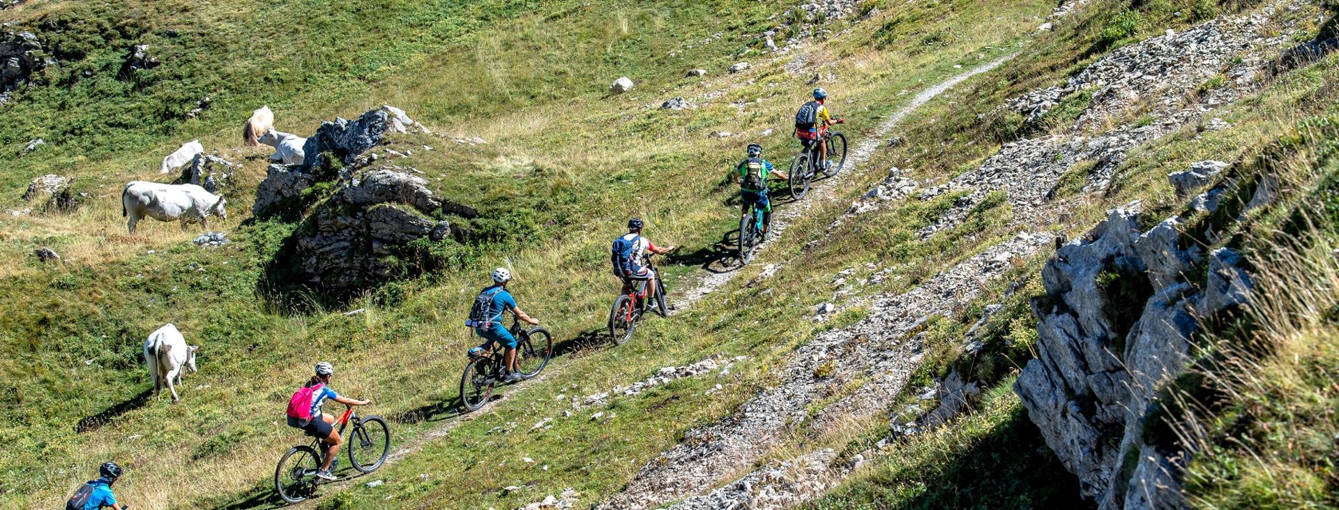
A wonderful plateau, where you can cycle along while admiring some breathtaking views of the Marguareis Natural Park. A round trip route, suitable for bikers with an average level of training, given the significant elevation gain to be covered in just a few kilometres.
Difficulty level
Climb: BC+ / Descent: OC+
Exposition
S2
Distance
33 km
Altitude difference
1130 mt
Lowest / Highest point
576 m min - 1.638 m max
Season
AUTUMN , SUMMER , SPRING
Recommended season
From end of May to October
Tour type
Round trip
Suitable for
Gravel bike, full / front MTB or full / front E-bike
Targets
SPORTSPERSON
Please note that itineraries may include roads where motor vehicles are allowed. Authors and trail testers are not responsible for the information contained.
No result found
No result found


Discover
more

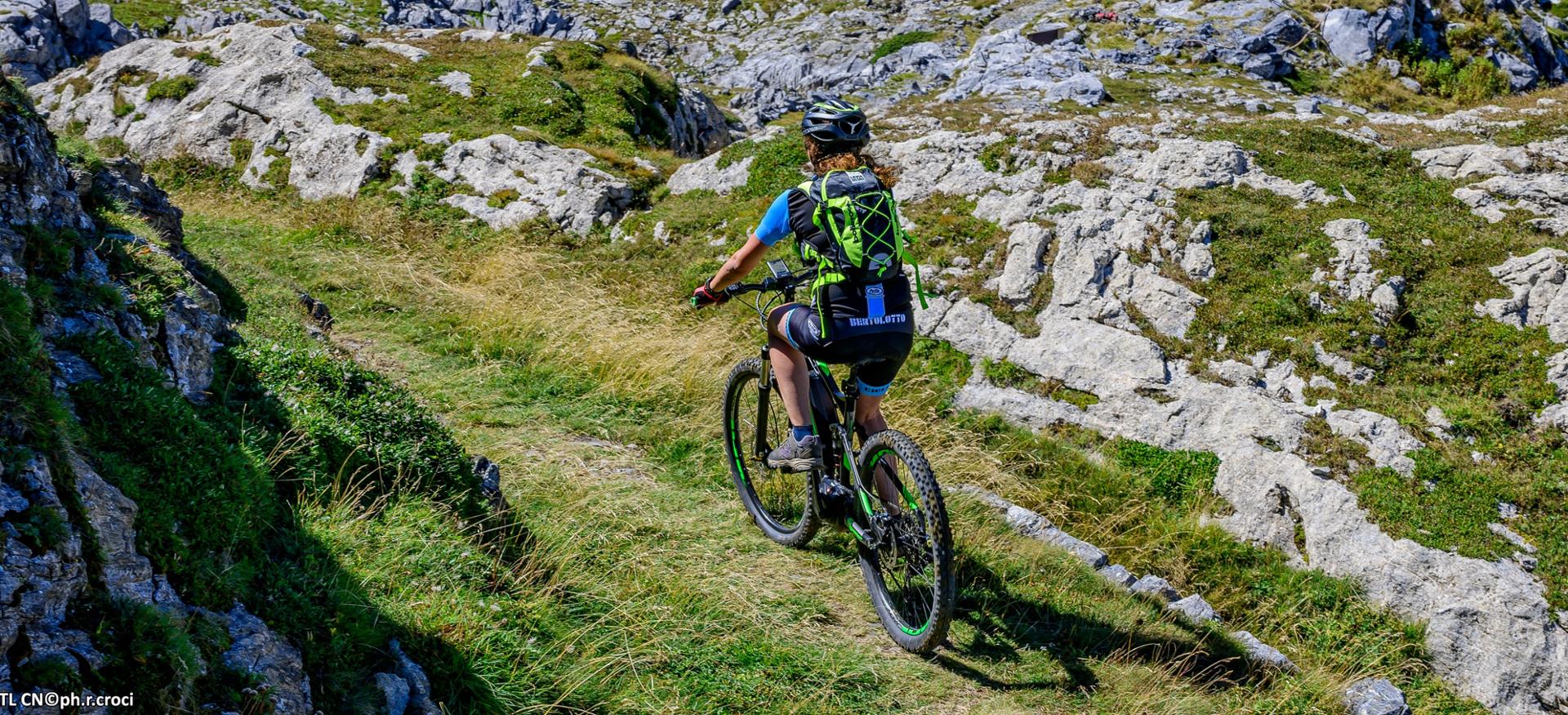
The full route is about 33 km long, with an elevation gain of over 1,130 metres. It is an itinerary that we advise you to tackle with a gravel, MTB or front or full e-bike as the surface you will find is mostly asphalted and only bumpy and with dirt track terrain in some short final stretches. A high mountain road where your hard work and sweat are rewarded by the pristine beauty of the landscapes and wealth of nature that you can admire.
The route starts from Roccaforte Mondovì, the capital of the Ellero Valley, located at the beginning of the valley of the same name, and ends at Pian Marchisa. From the centre of Roccaforte, head towards the provincial road, turn on to it and begin the slight climb up the valley towards Rastello. Continue on the asphalted, but quiet road towards the small mountain village of Norea. You will be able to admire the Alpine Ligurian Alps range around you in the background. When you reach Norea, turn left; cross the bridge and follow the signs for Rastello. When you reach Rastello, continue right on the secondary road, cross a bridge and go up the road towards Pian della Marchisa, skirting the Ellero stream. Continue through the woods to Ponte Murato (1224 m), where the paved road ends. The “walled bridge” was a stone bridge, probably of Roman origin, which was blown up during the Second World War by the partisans; in its place there is now a concrete bridge and a wooden walkway. From here the road continues unpaved, and in several places it is bumpy, as far as the 1624 m of Pian Marchisa.
A steep climb, but one with constant slopes of about 16 kilometres and over 1,100 meters of elevation gain will take you to the plateau - a unique environment with a verdant plain, full of pastures and surrounded by mountains.
Once you’ve arrived at Pian Marchisa, the path leading to the refuge begins near a small house on the left of the road. Initially it runs along the Ellero river, which has its sources right here; then the road goes uphill until you arrive, about forty minutes from Pian Marchisa, at the Rifugio Mondovì (1761 m).
The return trip is on the same road as the outward journey, but be careful on the dirt road section.
Download Cycling and Cycling Tourism Itineraries in the Province of Cuneo
esempi di as xml: xml serveResource con templateId (chiave)
esempi di as json: json serveResource con templateId (chiave)
esempi di as json e siteId: json serveResource con siteid
en_US
What
to do
en_US
Experiences
No result found
en_US
Where
sleeping
en_US
Offers
en_US
Info

