BARGE, PAESANA, VALLI PO BRONDA E INFERNOTTO
INFERNOTTO REFUGE RING TRAIL
28 km
A trail that goes up the wild Infernotto Valley and reaches San Grato di Paesana and then returns to the municipality of Barge. This cycling-tourism excursion begins in the car park of the Alter Hotel in Barge (Piazza Stazione) where we set off along the paved road that passes through Gabiola. We will then discover a little-known valley, reaching the Infernotto forest refuge. A fun descent on dirt road and single track terrain among chestnut groves. In some places the route coincides with that of the historic “Val Po Longa” race.
Please note that itineraries may include roads where motor vehicles are allowed. Authors and trail testers are not responsible for the information contained.
The Stages
the route
No result found
No result found
Discover
more
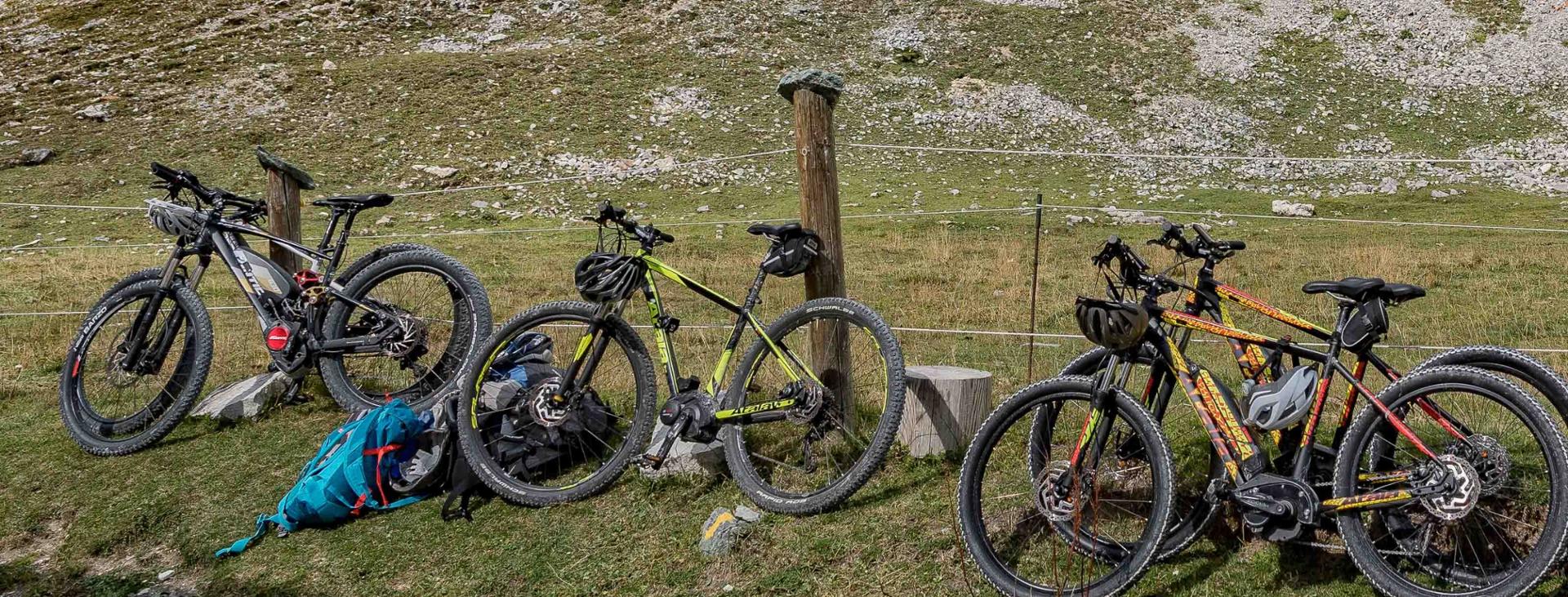
The full route is about 28 km long, with an elevation gain of over 1.000 metres. It is an itinerary that we recommend you tackle with a front or full MTB or e-bike as the terrain it features is mostly unpaved and bumpy. A mid-mountain road where commitment and determination will repay you with one of the longest and most enjoyable descents of the Infernotto Valley.
The route starts from Barge, in Piazza Stazione, and heads towards the hamlet of Gabiola along Via Mazzini and Via Cavallotta. Take via Azienda Moschetti and then via Gabiola: when you arrive at the chiesa di Sant’Antonio keep to the right and continue until you pass the chiesetta di San Chiaffredo. Continue the climb through the orchards and houses, passing the equipped “fishermen’s pond” area. Leave the asphalt trail and then cross the Rio Infernotto on the dirt road. Continue climbing and then cross the Ula bridge, passing on the orographic right of the narrow Infernotto valley.
Now the landscape becomes wilder and the road features challenging uphill stretches until you reach the Infernotto forest refuge owned by the CAI of Barge at 1,090 metres above sea level. Continue climbing the forest track to the pond at an altitude of 1,320 metres. From this point, the enjoyable descent begins on a forest path, taking the turnoff on the left of the pond.
Ride downhill to an altitude of 1,180 metres, then turn onto a pleasant beaten track. Keep going downhill and at an altitude of 1,000 metres, near the aqueduct reservoirs, turn on to the path and leave the forest road. Continue along this interesting path with its technical stretch spanning a few metres until you reach the chiesetta di San Grato. From this point, follow the road first and then the path that runs along the watershed ridge in the direction of the Colletta di Paesana, avoiding the obvious junction on the road that descends directly to Paesana. The path ends at the votive pillar of Tommaso “the American”. Take via Montescotto, heading back towards the village of Barge through via Beltramone and return to Barge following via Momeano.
Download Cycling and Cycling Tourism Itineraries in the Province of Cuneo