ENTRACQUE, VALLE GESSO
GRANFONDO ALPI MARITTIME
40 km
On the Granfondo route you can completely immerse yourself in the amphitheatre of the Maritime Alps, crossing the Valle Gesso from west to east and passing through the municipalities of Valdieri and Entracque. The route features all the types of road surface: asphalt, dirt tracks, trails and, finally, flat cycle paths. Suitable for trained bikers or those equipped with pedal assisted bikes, the route has many variations that take you back to the town of Entracque in case of need.
Please note that itineraries may include roads where motor vehicles are allowed. Authors and trail testers are not responsible for the information contained.
The Stages
the route
No result found
No result found
Discover
more
The route is about 40 km long from start to finish, with an elevation gain of over 1,480 metres. It is a circular itinerary that starts and ends at the same point, crossing one of the most beautiful and evocative hills in the province of Cuneo. Departure from the centre of Entracque, a small village in the Gesso Valley.
From the Santuario del Bealetto in Piazzale Europa, take the provincial road towards Valdieri, at the roundabout turn left towards San Lorenzo where the paved uphill stretch that leads to the village of Desertetto begins.
Once you’ve reached the square of San Bernardo di Desertetto, turn left taking the road that enters the village and turn left again before you reach the first houses. Ride down a dirt track that continues on a forest trail. Continue on the dirt track with even surface for a couple of kilometres through the beech trees, up to the intersection with the signpost for Mulino Rocco. From here the road becomes a trail that is challenging in some places, with narrow passages. Following the thrilling, scenic descent, you’ll return to the provincial road for Terme di Valdieri at the crossing over the Gesso river. The entrance to the trail is on the left of the asphalted road, at the height of the small unmetalled square.
Cross the characteristic wooden bridge over the clear waters of the Gesso river. The track winds through chestnut and beech trees until it reaches the Tetti Arpetta area.
When you get there, take the asphalted road as far as the small bridge. From here, turn right onto the dirt track that leads to the Tetti Miclot area. At the votive pillar, turn right onto the road that crosses Tetti Long and climbs up along the ancient entrances to the chestnut woods that surround the villages.
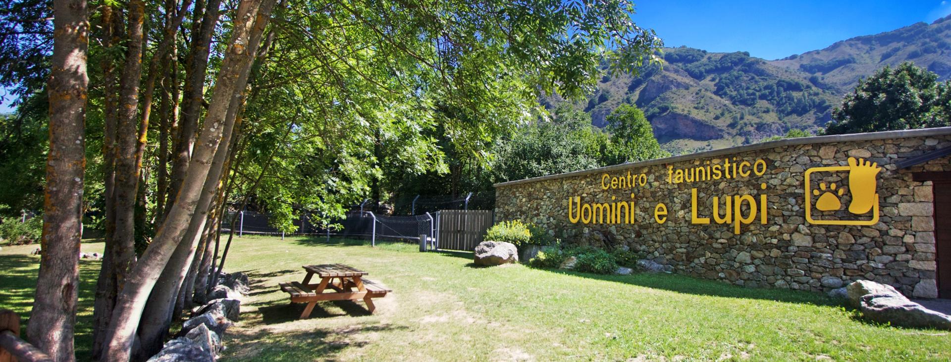
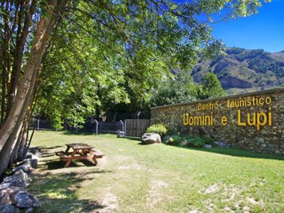
At the end of the path you will find yourself at the Centro Faunistico Uomini e Lupi: continue for a short distance alongside the wildlife area which is home to a number of Italian wolves. Turn left, leaving the paved road to go down the dirt track that will connect you to the walled bridge and to the cycle path that goes up towards Entracque.
At the first bend, leave the cycle path and take the easy path on the right that leads you to the Burga bridge, an ancient bridge that connected the valley with Borgo San Dalmazzo. Turn left on the path that continues with a long hilly section as far as the ENEL Green Power Hydroelectric Plant (one of the largest pumping plants in Europe).
Immediately under the imposing wall of the Diga della Piastra, proceed to the left on an uphill dirt track that joins the paved road to Esterate. Once on the asphalted stretch, continue for a long climb of about 5 km up to Tetti Airetta. Once you’ve reached the Esterate refuge, the asphalted road becomes a forest track again until it crosses the GTA path that leads to the hamlet of Trinità.
After the challenging descent, continue right along the Sartaria dirt road to Ponte Porcerà. From here, turn left and follow the paved road until you reach the Trinità di Entracque hamlet. When you reach the chapel of the small hamlet, continue right towards Tetti Prer.
Take the uphill dirt track to the right of the small square and continue on the single track path up to Tetti Tancias. From there, go down the partly unpaved and partly asphalted road to Tetti Violino.
After crossing the small group of houses, continue back on the path towards the mountain with signposts for Gorge della Rejna, a natural canyon carved into the sedimentary rocks, providing a true balcony over the entire Gesso Valley. From here the path climbs up the Stramondin hill, with a few more challenging sections on the Lausa rise, the highest point of the itinerary.
From here the last part of the Granfondo Alpi Marittime route begins - about 60 single track hairpin bends that will keep you focused until the end of the itinerary that takes you back to the starting point in Piazza Europa.
Download Cycling and Cycling Tourism Itineraries in the Province of Cuneo