BRONDELLO, CASTELLAR, PAGNO, VALLI PO BRONDA E INFERNOTTO
VALLE BRONDA TREKKING
Castellar (31,16 km)
31,16 km
Valle Bronda Trekking is the new entry in the hiking route rings in the province of Cuneo, which already has many that are well known and popular; VBT is characterised by being a ring itinerary that offers everyone, in a horseshoe-shaped tour along its wooded ridges, the chance to enjoy relaxing views, learn about some of its most ancient and valuable artistic heritage and breathe in the intense scent of the forest.
Please note that itineraries may include roads where motor vehicles are allowed. Authors and trail testers are not responsible for the information contained.
The Stages
the route
No result found
No result found
Discover
more
The Valle Bronda Trekking itinerary winds through the municipalities of Castellar, Pagno and Brondello in this small valley adjacent to Valle Po and a few kilometres from Saluzzo, on a territory dedicated to cultivating fruit (Valle Bronda apples, grapes, among which the pelaverga, tiny ramassin plums; in these municipalities the DOC Colline Saluzzesi Pelaverga wine is produced, and ramassin plums are a Slow Food Presidium).
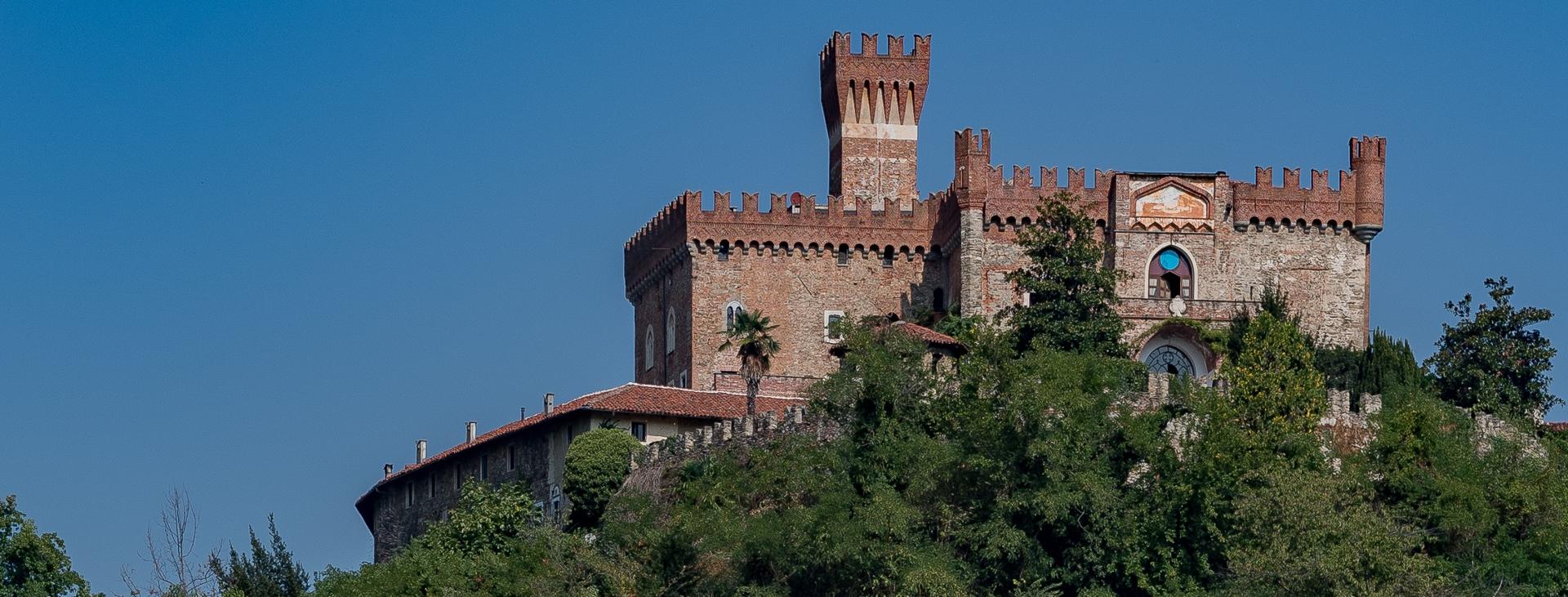
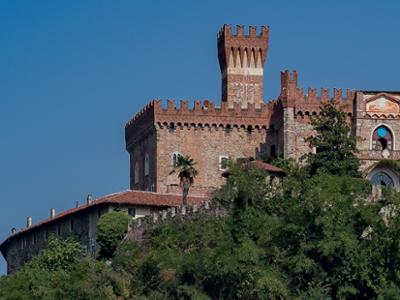
Along the VBT route there are various assets of historical and artistic interest, an authentic treasure chest of art and history: from the country chapel of San Ponzio, to the Castle of Castellar built on a rocky spur, which dates back to the 14th century, to the ancient abbey of San Pietro and San Colombano in Pagno, and the Clock Tower overlooking Brondello with its ancient medieval arched stone bridge.
The proposed route leads hikers first on the sunny side and then on the shady side of the valley, via a route that keeps constantly at altitude on the inter-valley ridges, from which you descend only to reach the hospitality facilities located in the three villages of Castellar, Pagno and Brondello. A ring that can be travelled on for most of the year, suitable for everyone because of the type of terrain, its development and the length of the individual stages, which are well signposted. The VBT is also an appreciable MTB ring given the considerable presence of dirt roads and mule tracks that will certainly be able to meet the expectations of all mountain bikers.
Difficulty: hiking trail
The detailed route is available on PIEMONTESCAPE.COM