ROBURENT, VALLE STURA
UPPER LAKE ROBURENT
11,2 km approx.
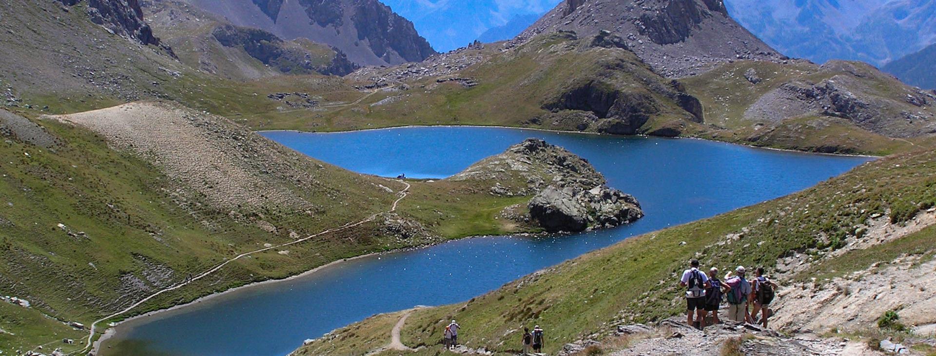
Upper Lake Roburent needs no introduction. It is the true symbol of the Valle Stura, be it for its characteristic shape or its extraordinary position in a wide valley set amidst green meadows at the feet of the immense rocky mass of monte Oronaye. It is a truly spectacular balcony overlooking the Maritime Alps.
Difficulty level
E (Excursionists)
Distance
11,2 km approx.
Starting altitude
1948 mt
Ending altitude
2496 mt
Altitude difference
570 mt
Season
SUMMER
Targets
SPORTSPERSON
Please note that itineraries may include roads where motor vehicles are allowed. Authors and trail testers are not responsible for the information contained.
No result found
No result found


esempi di as xml: xml serveResource con templateId (chiave)
esempi di as json: json serveResource con templateId (chiave)
esempi di as json e siteId: json serveResource con siteid
en_US
What
to do
en_US
Experiences
No result found
en_US
Where
sleeping
en_US
Offers
en_US
Info


