BRIGA ALTA, CHIUSA PESIO, ORMEA, VALLE PESIO, VALLE TANARO
TOUR OF MARGUAREIS
approx. 29,5 km
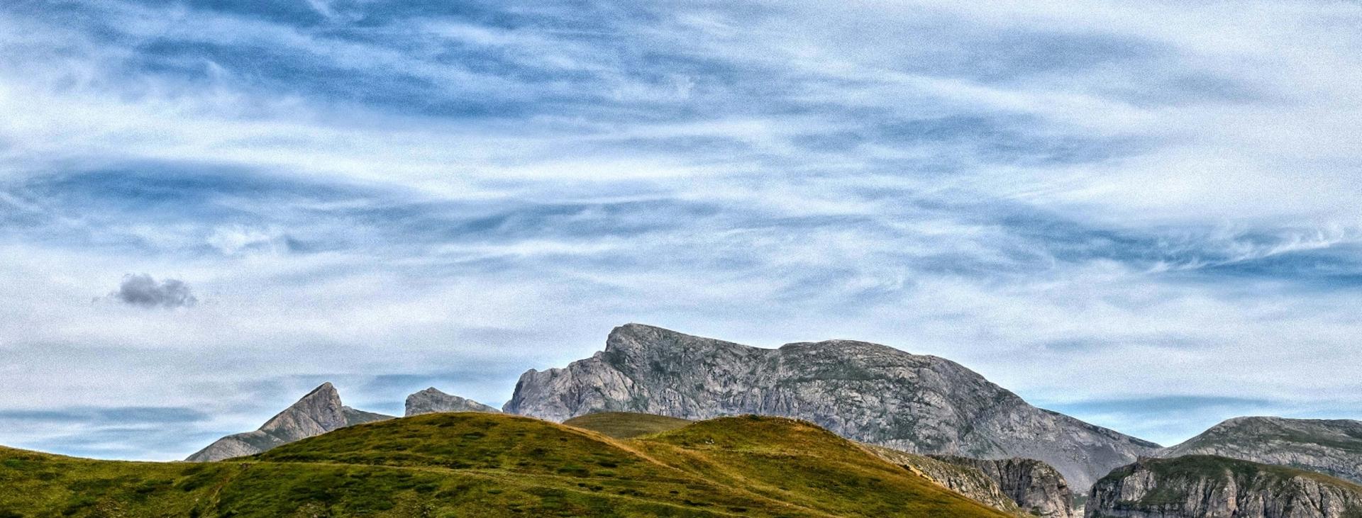
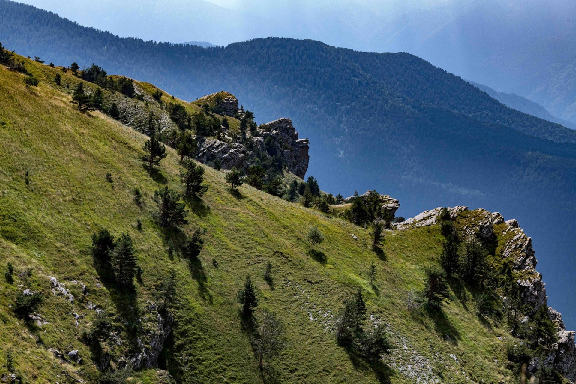
Marguareis is the highest peak in the Ligurian Alps. A mountain with two faces — the rocky, vertical north face and the south face featuring much gentler, karst slopes. A meeting point of the Pesio, Tanaro and Roya valleys, Marguareis is circled by a dense network of trails that can be linked together to construct an amazing itinerary all the way around the mountain. An extremely varied route through some absolutely stunning environs, it’s perfect for a multi-day trek or for some fun trail running.
Difficulty level
E/EE (intermediate/expert)
Distance
approx. 29,5 km
Starting altitude
1032 mt
Lowest / Highest point
2652 m
Season
SUMMER
Targets
SPORTSPERSON
Given the karst nature of the terrain in the central portion of the route, there are no sources of water, except at Rifugio Don Barbera, so you’ll need to bring a good supply with you.
It should be noted that the mountains are an environment subject to constant change and conditions that can vary depending on the weather, the season, climate change, and human influence. The authors and ATL del Cuneese (the Cuneo board of tourism) decline any responsibility for any injury or other harmful consequences deriving from use of the information provided. Each itinerary is to be followed at your own risk.
No result found
No result found


Discover
more

This is the “tight” version of Tour of Marguareis, which deviates from the traditional route and also climbs to the summit. It’s in three stages (although the most physically fit can do it in two) and features amazing views that span from the sea out to the four-thousanders of Italy’s Aosta Valley region.
The ideal month to take it on is September, with its clear days and less crowding at the alpine shelters.
Start: Pian delle Gorre (Chiusa di Pesio)
Stage 1: Pian delle Gorre–Rifugio Garelli
Ascent: approx. 940 m (3,080 ft)
Total length: approx. 5.5 km (3.5 mi)
Elevation at start: 1,032 m (3,385 ft)
Highest altitude: 1,970 m (6,463 ft)
Difficulty level: E (intermediate)
Take the dirt road that heads up to the left of the parking area. Once you reach an open area known as Il Salto (literally: “The Leap”, at 1,184 m), take the mule track to the left in the direction of Rifugio Garelli. The trail climbs steeply and winds through a dense forest of white fir and broadleaf trees. After a decent stretch, ignore a fork to the left in the direction of Pian del Creus and cross a footbridge over the Sestrera river, which flows to the spectacular Saut waterfalls just a bit further down, although they can’t be seen from here.
In a few minutes, you will reach the lower Gias di Sestrera (1,341 m, fountain), behind which you will now see the impressive Marguareis massif. Where the trail splits into two, take the left fork into a forest of fir trees.
After numerous switchbacks, you will come out into a clearing. Here, there is a beautiful slope that rises to the upper Gias di Sestrera (1,842 m, fountain). The view here is amazing. In a single glance, you can take in all of the fantastic north face of Marguareis.
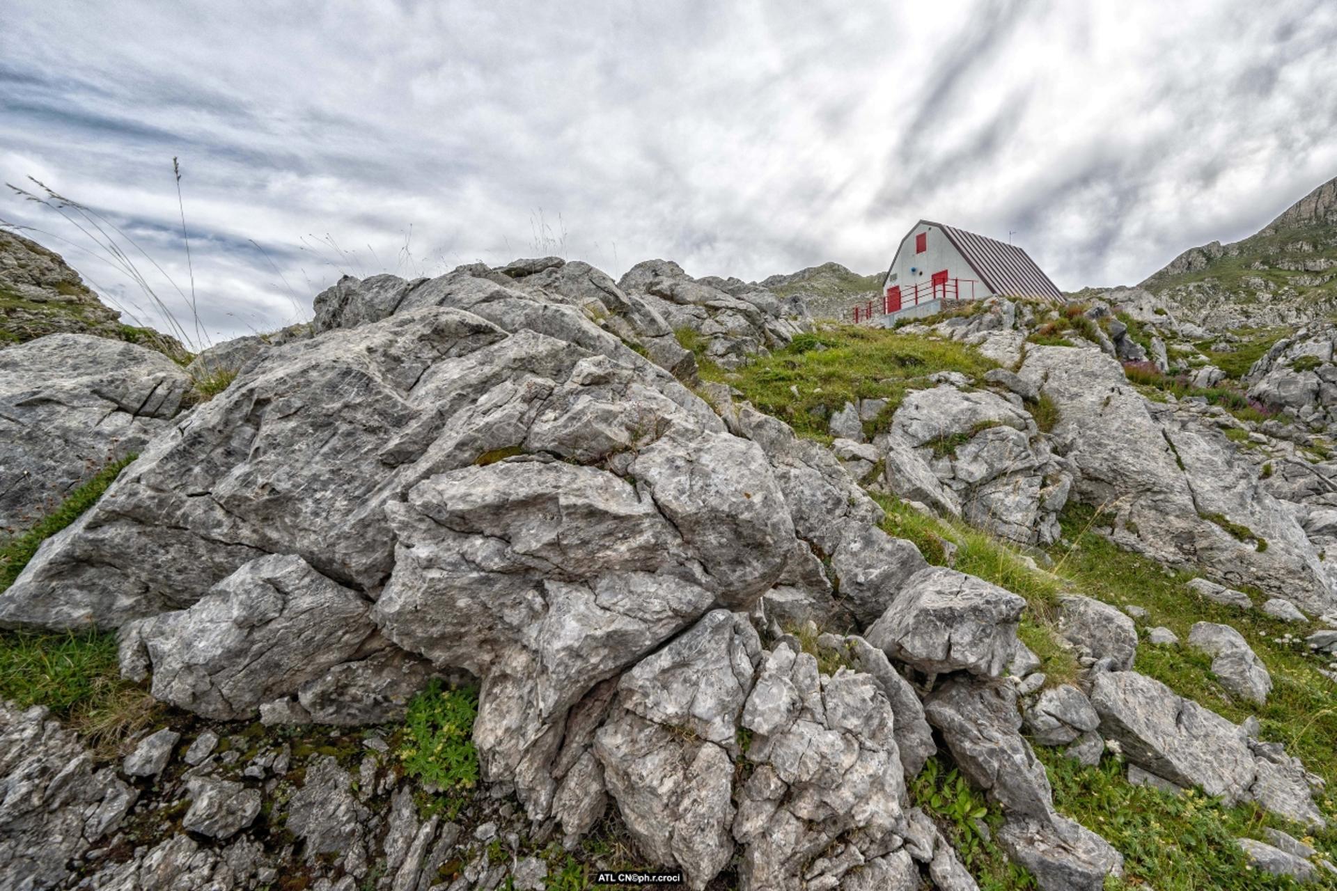
Going around the plateau to the right, you’ll have only about a twenty minute hike to reach Rifugio Garelli (1,970 m), located at the edge of the Pian del Lupo plain. The large stone building, with its modern glass and metal addition reflecting the mountains around it, was rebuilt in 1991 after a terrible fire destroyed the previous structure.
A short distance from the shelter, there is a botanical garden that features some of the most important, rarest plant species of the Ligurian and Maritime Alps. The station is dedicated to Clarence Bicknell, a British eclectic whose interests, in addition to botany, extended to ornithology, archaeology and mineralogy, and he is responsible for the discovery of the rock engravings in Valle delle Meraviglie (“Valley of Wonders”).
Stage 2: Rifugio Garelli–Rifugio Don Barbera
Ascent: approx. 960 m (3,150 ft)
Descent: approx. 840 m (2,755 ft)
Total length: approx. 9 km (5.6 mi)
Elevation at start: 1,970 m (6,463 ft)
Highest elevation: 2,652 m (8,700 ft)
Difficulty level: EE (expert)
Go east following the trail that crosses the grassy Pian del Lupo and climbs up a debris field. Continue along steep, grassy slopes to the narrow saddle of Porta Sestrera (2,228 m), a watershed between the Pesio and Ellero valleys, where the landscape changes dramatically.
Descend into the Ellero valley along a beautiful, grassy trail with amazing views out towards the Saline and Pian Ballaur peaks. After a few hundred meters, at a fork, turn right and cut across grassy slopes dotted with boulders on the slopes of the Rastelli del Marguareis ridge.
Take a few ups and downs to the foot of the gully that leads to Porta Marguareis. Turning to the left, you will reach the small Lake Rataira (2,204 m), the shores of which feature an unexpected granite menhir, likely of Celtic origin.
Follow the trail up a steep slope to Colle del Pas (2,349 m), between the Emma and Pian Ballaur peaks, where beautiful views to the south open onto Missun Peak and Mount Bertrand. At the foot of Mount Bertrand, you can see the Framargal Pass, where the ancient Salt Road passes.
Head down the opposite side towards the Piaggia Bella basin, around which there is a vast system of caves. At the center of this basin there is the Saracco-Volante research outpost. The karst environment around Marguareis is among the most important in all the Alps, with its impressively white rock, furrowed karst fields and sinkholes, wells, and caves, such as the one here at Piaggia Bella, which descends for more than forty kilometers (25 miles). It’s a true treasure trove for speleologists, who have been exploring the area since the 1950s.
At a fork in the trail, turn right to climb the steep Canalone delle Capre (“Gully of the Goats”), which would appear impassable from below. In actual fact, the trail continues in a surprisingly logical manner through some simple stretches of via ferrata to Colle Palù (2,520 m), situated between the Palù and Bozano summits. The panorama here again opens out onto Marguareis, the greyish form of which looms to the west.
The trail continues to the right, cutting across the slopes of the Bozano summit. Once you have passed a brief section of via ferrata, continue traversing the slope. After climbing over a ridge (a highly exposed ledge that can be gotten around by staying just above it), you reach a shoulder before descending in a semicircle to Colle dei Torinesi (2,448 m), the arrival point of the Canalone Torinese gully.
Continue along a trail across grass and stones that leads to a shoulder where you will ignore the trail down to the Gaina Pass and Rifugio Don Barbera in the opposite basin.
Continue uphill to the right along a terrain of broken rock mixed with grass and then climb over a second stony shoulder until you reach the wide, flat summit of Marguareis (2,651 m), atop which there is a large cross that was erected in 1958. From here, you can enjoy a uniquely stunning view in every direction, from the Ligurian Sea to the Aosta Valley. Just past the cross, there is a vertical drop of seven hundred meters (2,300 ft) down to Lake Marguareis and Rifugio Garelli. On clear days, you can see Tenda, the Roya valley, the sea, and even Corsica in the distance.
Once back on the trail, head down the southwest ridge, keeping just to the right of the crest.
The trail is not very evident and marked only by a few cairns, but the direction is obvious. Once you have crossed a crevice, go around a sinkhole to the left to reach the rounded southern secondary summit, after which you will descend a steep rocky face (a UIAA Grade I descent). Once you reach the base, the difficulties end and soon you will reach the Gaina Pass (2,357 m), which sometimes referred to as the “Gallina” (Italian for “hen”) Pass.
Descending to the west on the trail that has now become more evident, make an easy traverse and then pass through a maze of karst depressions. Before entering a narrow gorge with a trail at the bottom, turn to the right and cross an area dotted with furrowed karst fields, sinkholes and karst rock.
Once you reach the meadows in view of Colle dei Signori, all you have left is a quick descent to Rifugio Don Barbera (2,079 m), a strategic stopover point not only for the Tour of Marguareis today but also for the ancient Salt Road.
Stage 3: Rifugio don Barbera–Pian delle Gorre
Ascent: approx. 290 m (950 ft)
Descent: approx. 1,350 m (4,430 ft)
Total length: approx. 15 km (9.3 mi)
Elevation at start: 2,079 m (6,820 ft)
Highest elevation: 2,310 m (7,579 ft)
Difficulty level: E (intermediate)
From Rifugio Don Barbera (2,079 m), climb Colle dei Signori (2,107 m) and enter France. Take a lovely, grassless mule track to the right, with gentle ups and downs, which cuts across the top of the Malabergue valley, a karst area of exceptional beauty just above the ancient Salt Road.
After a kilometer and a half (about a mile), the mule track joins the Salt Road, which you will follow to the northwest in a broad semicircle. Once you reach the pasture Pian Ambrogi, leave the dirt road and turn right to cut across a meadow.
Gaining elevation more decisively, you will reach a grassy shoulder located below Straldi Point, the highest point of this stage. Along the way, you can enjoy spectacular views of the Salt Road below and the omnipresent Marguareis above.
Continuing downhill, you will arrive to a dirt road that you will follow to the right in a slight climb, soon reaching the now nearby Colla Piana di Malaberga (2,219 m), a gateway to the extraordinary Conca delle Carsene basin, which somewhat curiously belongs to the municipality of Briga Alta. In fact, it’s one of the rare cases of an “enclave”, i.e. a sort of administrative island. A few dozen meters away as the crow flies, there is the Morgantini speleological station, which can be reached with a short detour.
Descend for a stretch the spectacular Ciclovia del Duca, an old military route that has recently been restored for mountain biking and which crosses Conca delle Carsene, then head back up to the Duca Pass and then back down into Vallone degli Arpi.
At an altitude of around 2,100 meters (6,900 ft), you can easily cross a stretch of unstable rock that has been restored with steps supported by wooden logs. The environment here is almost lunar, with rounded whitish rock that extends as far as the eye can see to the tip of the Marguareis. Below, there are other stunning views of the ridge that runs from Mount Pigna to Gardiola and the Cars summit.
Go around the grassy basin and Gias dell’Ortica (1,860 m) from above. Ignore a fork to the left to Colle del Carbone and take the next left a hundred meters later, leaving Ciclovia del Duca as it continues onward to Colle del Duca, which could serve as a longer but easier variant if desired.
Turning to the north, go over one shoulder and then cut through the steep slopes of Testa di Baban. Along this stretch, you will cross the Baban Pass, which is not particularly evident and is not technically a pass since it is not a classic mountain pass between one valley and another. With a bit of caution, continue along an exposed traverse across the vertical wall of Pis del Pesio among beeches, dwarf pines, and other shrubs.
Much further on, the trail joins the one leading to Colle Vaccarile. Continuing down, follow a natural, little frequented trail that enters a very dense, humid beech forest.
At an elevation of around 1,200 meters (3,900 ft), cross a footbridge from which you can admire the beautiful waterfall at Gias Fontana created by the Pesio springs.
With a slight ascent, you will reach Gias Pesio (1,218 m, fountain), where you will rejoin the heavily used trail towards Pis del Pesio. Following this trail downhill, you will return to a mixed forest dominated by beech trees, then make a long, high traverse above the Pesio river and merge onto a wide dirt road.
Follow this road to the right and, after a final uphill ramp, cross the stream coming from the Saut waterfalls. Reverse direction and continue through the beautiful fir forest to reaching the clearing of Pian delle Gorre (1,032 m), where this amazing excursion comes to an end.
Valerio Dutto from Cuneotrekking.com.
esempi di as xml: xml serveResource con templateId (chiave)
esempi di as json: json serveResource con templateId (chiave)
esempi di as json e siteId: json serveResource con siteid
en_US
What
to do
en_US
Experiences
No result found
en_US
Where
sleeping
en_US
Offers
en_US
Info


