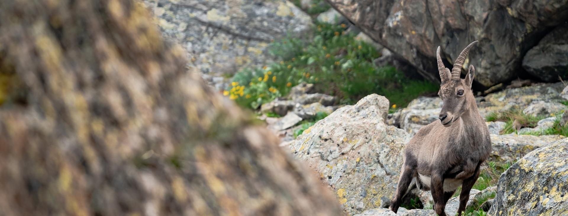
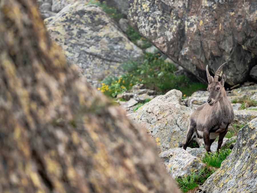
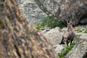
ONCINO, VALLI PO BRONDA E INFERNOTTO
TOUR AT THE FOOT OF MONVISO
approx. 22 km (13,67 mi)
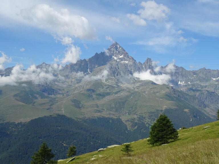
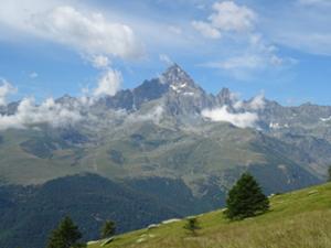
This is not what locals call the “Giro del Monviso” (Tour of Monviso), but rather a lesser-known, but equally interesting, two-day outing at the foot of this “Stone King”. In addition to this giant of the Cuneo Alps and the great variety of alpine environs, the beauty of this itinerary are the numerous enchanting alpine lakes that you will encounter about halfway through.
It should be noted that the mountains are an environment subject to constant change and conditions that can vary depending on the weather, the season, climate change, and human influence. The authors and ATL del Cuneese (the Cuneo board of tourism) decline any responsibility for any injury or other harmful consequences deriving from use of the information provided. Each itinerary is to be followed at your own risk.
The Stages
the route
No result found
No result found


Discover
more

Start: Meire Dacant (Oncino)
Stage 1: Meire Dacant–Rifugio Quintino Sella
Ascent: approx. 1,030 m (3,380 ft)
Total length: approx. 7.5 km (4.5 mi)
Elevation at start: 1,608 m (5,275 ft)
Highest elevation: 2,640 m (8,661 ft)
Difficulty level: E (intermediate)
From the lower end of the car park (fountain), turn left onto the dirt road in the direction of Dacant (from which you will return), and continue straight along the trail that heads into the woods, keeping a short distance from the Alpetto river.
Once out in the open, cut through a meadow and cross the stream over a wooden walkway. Once on the opposite bank, head up the slopes of Rocca Bianca, cross a stream, and then make a panoramic traverse that cuts across the slope roughly to the west.
Further on, the zig-zags higher in the direction of an obvious gap in the rocky barrier of the Alpetto Group, leaving the river behind you to the left.
Once you have passed through the gap, you will be on a broad, grassy plateau from which the summit of Monviso suddenly appears, out beyond the Rocce Sbiasere and the Balze Cesare. The trail initially runs flat alongside of the stream, then begins to climb again. Ignoring a fork to the right, cross over a bridge and make a final short climb to the left to the now nearby Rifugio Alpetto (2,268 m), which can be used as a stopover point if Rifugio Quintino Sella is full.
A few dozen meters farther on, looking out over Lake Alpetto (2,243 m), is the first shelter ever built by the Italian Alpine Club (CAI) in 1866. It served as a basecamp for ascents of Monviso, and a few years ago it was transformed into a freely accessible exhibition space within which the original structure has been restored.
After an uphill traverse and a right turn, you will arrive to a swampy plateau crisscrossed by numerous rivulets. Cross it to climb up along the stream that forms a small waterfall, heading towards the end of the plateau.
Continue along a trail that disappears for a short stretch, then ignore a fork to the left. Pass a number of rocky depressions to reach a stone hydroelectric plant. Go around the outlying parts of the Balze di Cesare to reach the stunning Lake Pellegrina (2,538 m). Go around the lake and continue on through an absolutely magnificent stretch, at the foot of Monviso, past another small, unnamed pool of water. Just beyond is a trail that is part of the Giro del Monviso, with Rifugio Quintino Sella now in sight (2,640 m), situated atop a rocky knoll above Lake Grande di Viso.
Stage 2: Rifugio Quintino Sella–Dacant by way of the Gallarino Pass
Ascent: approx. 250 m (820 ft)
Descent: 1,280 m (4,200 ft)
Total length: approx. 14.5 km (9 mi)
Elevation at start: 2,640 m (8,661 ft)
Highest elevation: 2,728 m (8,950 ft)
Difficulty level: E (intermediate)
Go back along a short stretch of the previous stage, slightly downhill, alongside Lake Grande di Viso (2,599 m). Once you reach the end of the small lake, ignore forks to the right and left and continue alongside the Sagnette lakes (2,590 m), located at the foot of Colle Sagnette, where the standard route to Monviso passes.
Continue along the lovely wide mule track, where there may be patches of snow into early summer. After a long stretch, the previously ignored shortcut is joined from the left. Continuing uphill in a more evident zig-zag, you will reach Gallarino Pass (2,728 m), the highest point of the entire excursion, at the foot of Punta Trento. The panorama is dominated by the Lobbie peaks and extends as far as the Maritime Alps in the background.
Once you have left the Giro del Monviso trail in the direction of the San Chiaffredo Pass to the right, continue downhill, ignoring an inviting trail to the left that actually leads nowhere. Descend to the beautiful Gallarino plateau, dotted with pools of water at the foot of the severe slopes of the Lobbie mountains. The trail, occasionally bordered by rows of stones, is not difficult, but not always obvious, which is why you need to play close attention not to lose it.
Soon you will be near Lake Gallarino (2,621 m), which you pass slightly to the left. Following the trail markings, descend through numerous grassy terraces, before returning to climb over a rocky section.
The trail makes a broad semicircle and cuts across the slopes of Punta delle Guglie. Much further on, it begins to climb again to reach the ridge overlooking the Varaita valley, where it joins a comfortable trail that descends to the left to Colle di Luca (2,437 m) at the foot of Punta Rasciassa.
Continue down to the left into the long and isolated Bulè valley, with its slopes of grass and stones dotted with rhododendrons, where you can enjoy amazing views of Monviso and its satellite peaks. After a long stretch, you will reach the plateau of Alpe Bulè (2,061 m), home to a large stone building. Continuing alongside the Bulè river, continue downhill through a narrow valley.
The trail makes a short ascent on the right side and then heads back down. Much further on, past the stream, move to the left side, where you will go up to the Bulè cross (1,811 m), erected here in memory of the young partisans who were rounded up and executed by Nazi-Fascists forces in April 1944.
Continue down to the northeast along an initially fenced trail, which widens into a dirt road that runs roughly along a ridge and descends to Dacant (1,643 m, fountain), a group of cabins located in a wonderfully panoramic spot. Follow the access road that takes a wide hairpin bend and heads down to the car park, where this amazing itinerary ends.