ELVA, SAN DAMIANO MACRA, VALLE MAIRA, VALLE VARAITA
STRADA DEI CANNONI
40 km
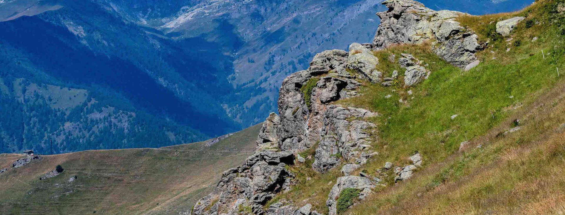
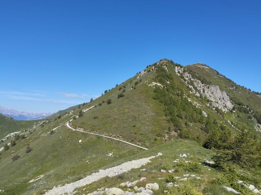
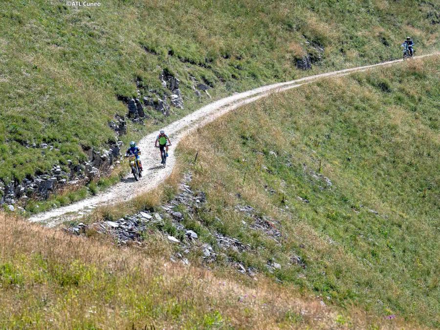
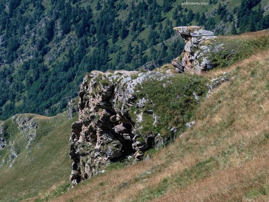
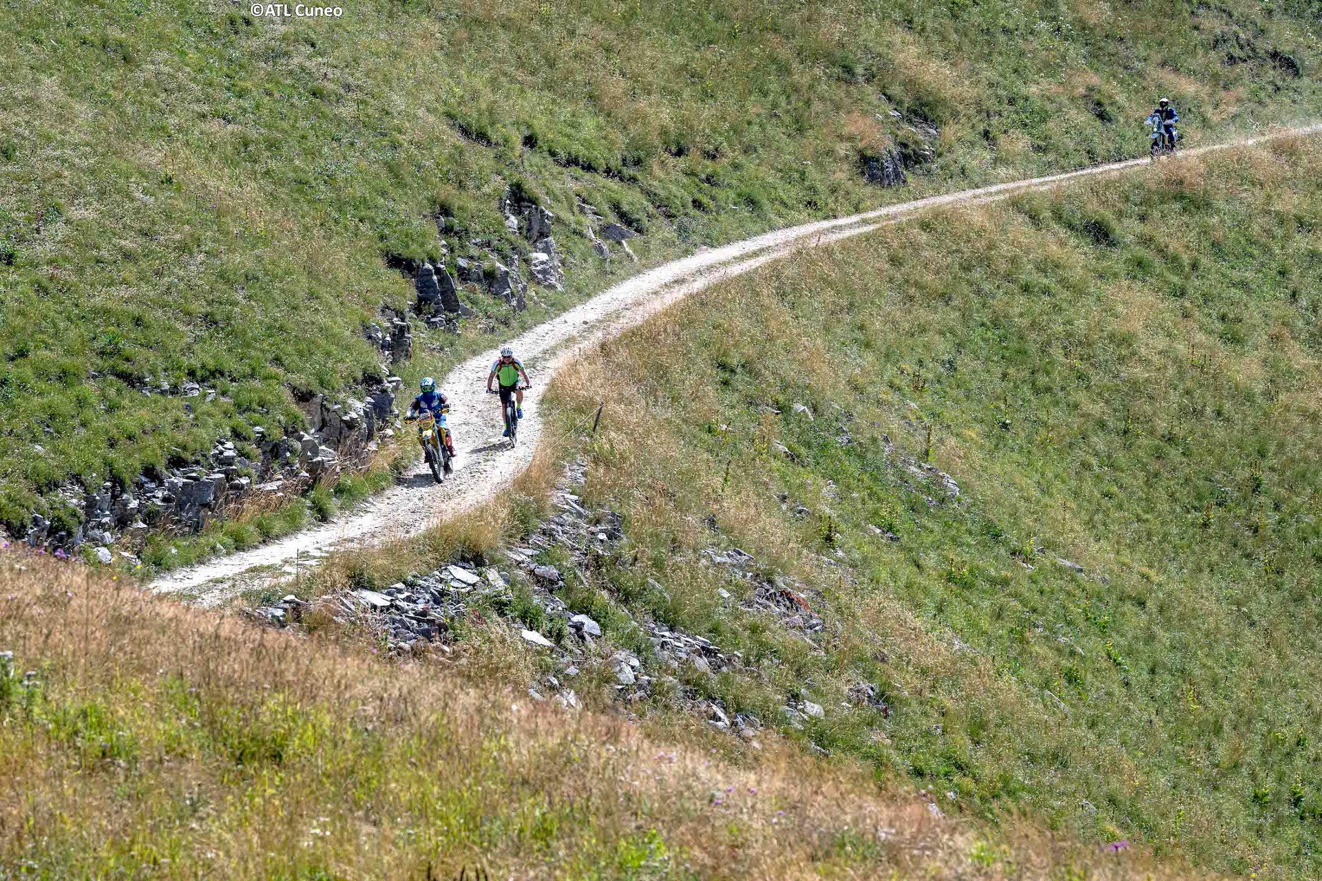
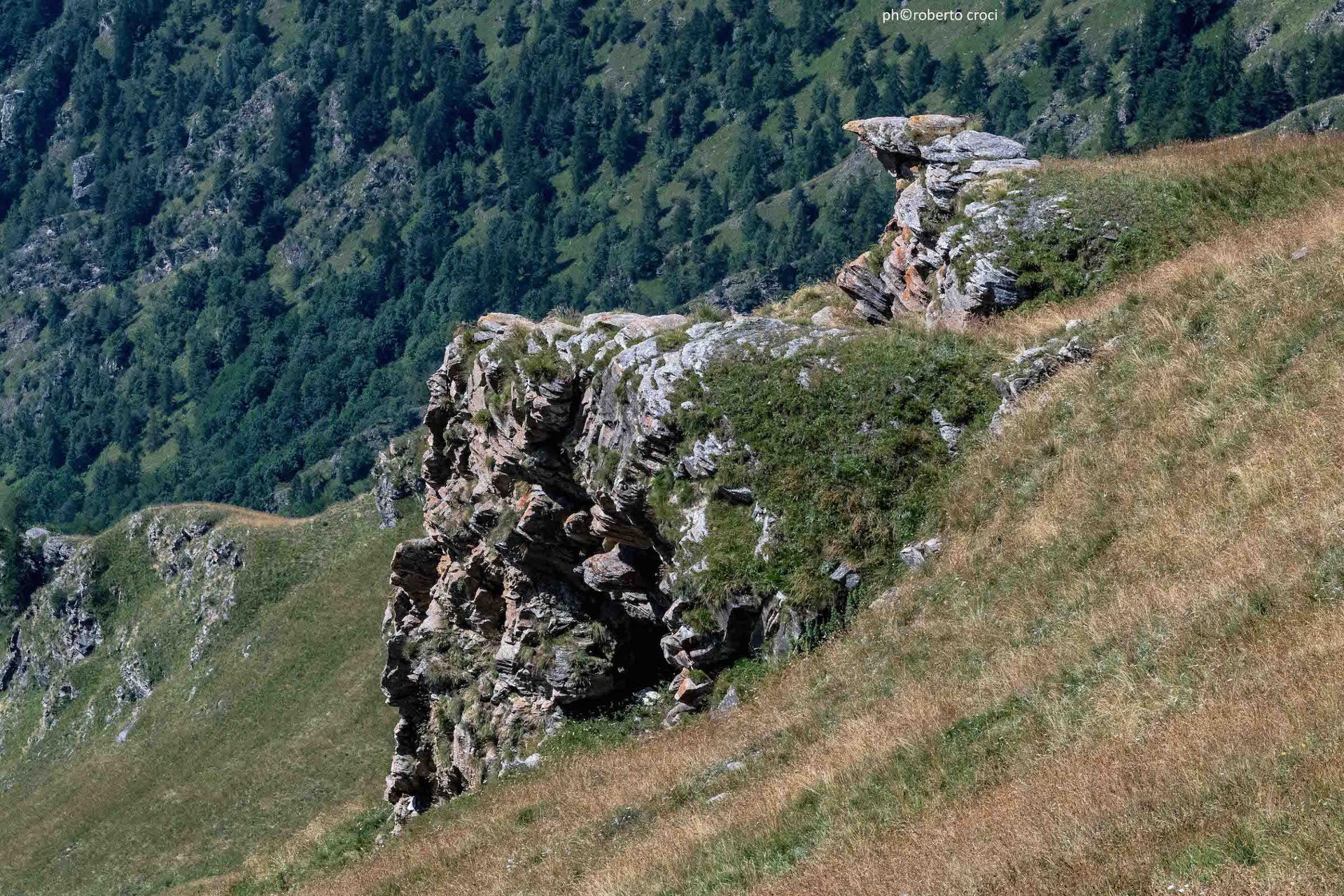
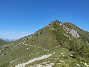
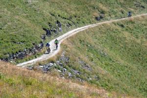
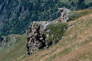
The Strada dei Cannoni is a military route that always runs along the ridge of the watershed between the Maira Valley and the Varaita Valley. It was built around the middle of the nineteenth century and was never used for war purposes. Its main feature is the amazing views of the Maritime Alps and the Cottian Alps that it affords. We will ride its final section, the one at the highest altitude, which goes from the Colle del Birrone to the Colle di Sampeyre, reaching the green pastures above the hamlets of Elva.
Please note that itineraries may include roads where motor vehicles are allowed. Authors and trail testers are not responsible for the information contained.
The Stages
the route
No result found
No result found

Discover
more
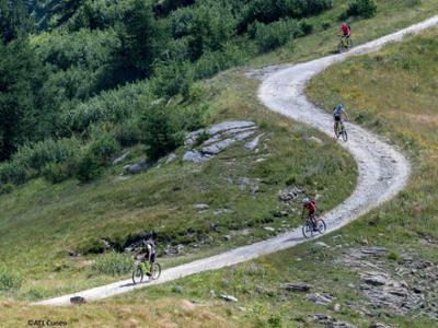
The itinerary of about 40 km with a significant elevation gain of about 2,100 meters is suitable for competent, trained cyclists and does not present any particular technical difficulties.
Access rules:
• Monday, Wednesday, Friday, Saturday, and Sunday: access reserved exclusively to pedestrians and cyclists.
• Tuesday and Thursday: open to motorised vehicles (cars, motorcycles, and quads).
The municipal traffic regulation ordinance has been in force since July 14, 2025. There are no controlled access points or entry tickets for vehicles. Along the route, there are information signs with QR codes for the access regulations, which are also available on the Busca municipal website.
Download Cycling and Cycling Tourism Itineraries in the Province of Cuneo
The ascent to the Sampeyre hill is part of the “Legendary Climbs”, six climbs made famous by the competitive achievements of professional cyclists, with a calendar of days reserved for cyclists to ensure a truly unique experience in the unspoiled nature of the Cuneo Alps. More information at: www.scalateleggendarie.it/en/home-2.