MONDOVI, NIELLA TANARO, PIANFEI, VALLE PESIO, VALLI MONREGALESI, VICOFORTE
BALCONE MONREGALESE PATH
from Niella Tanaro to Pianfei (104,00 km)
104 km
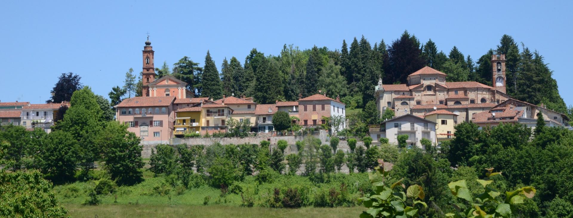
The Sentiero Balcone Monregalese is a hiking itinerary that combines a series of already existing routes that are interesting from a tourist, naturalistic and cultural point of view.
Distance
104 km
Route time
34 hours 16 minutes
Starting altitude
369 mt
Ending altitude
570 mt
Altitude difference
4058 mt
Season
AUTUMN , SUMMER , WINTER , SPRING
Targets
SPORTSPERSON
Please note that itineraries may include roads where motor vehicles are allowed. Authors and trail testers are not responsible for the information contained.
No result found
No result found


Discover
more

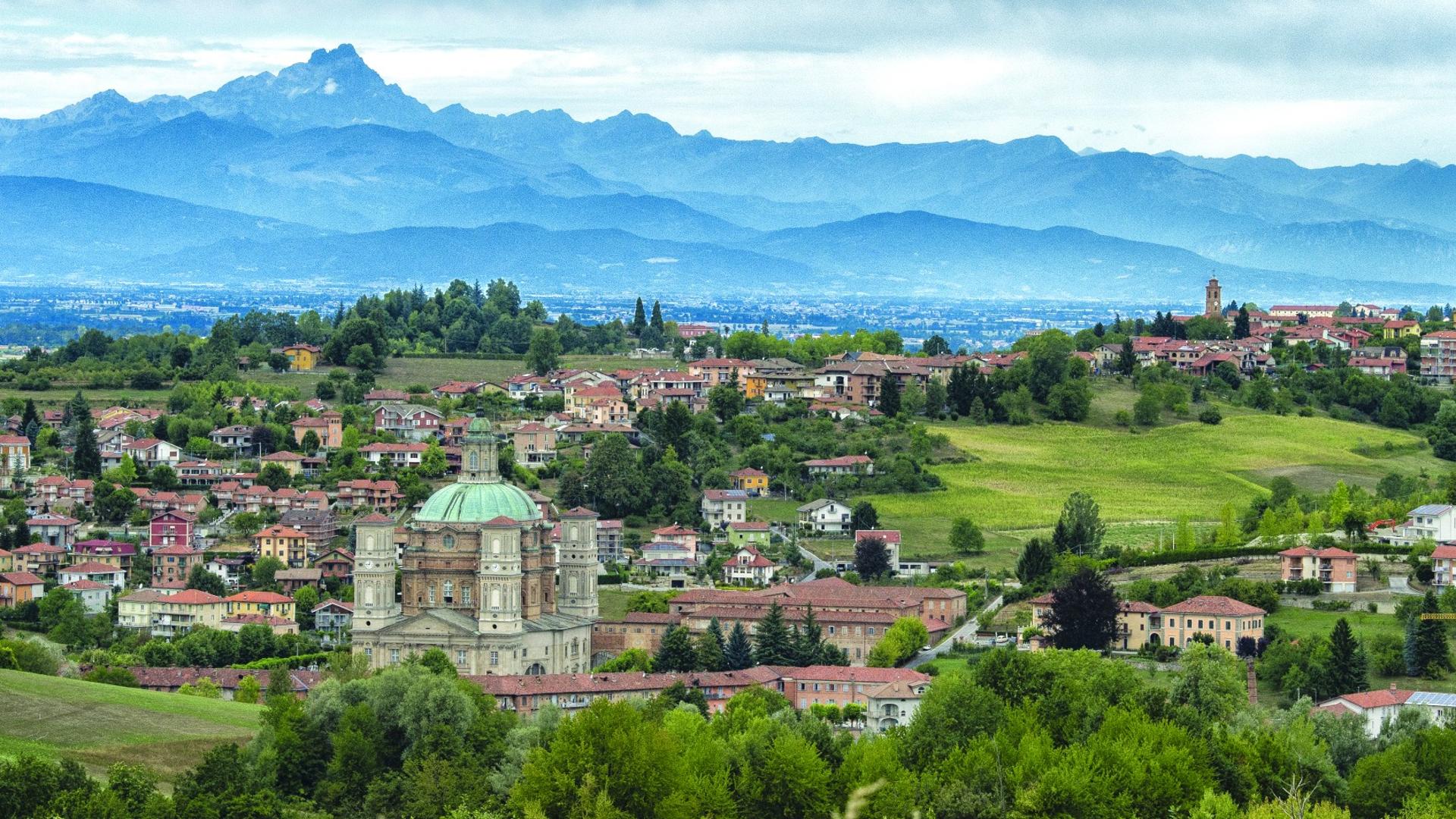
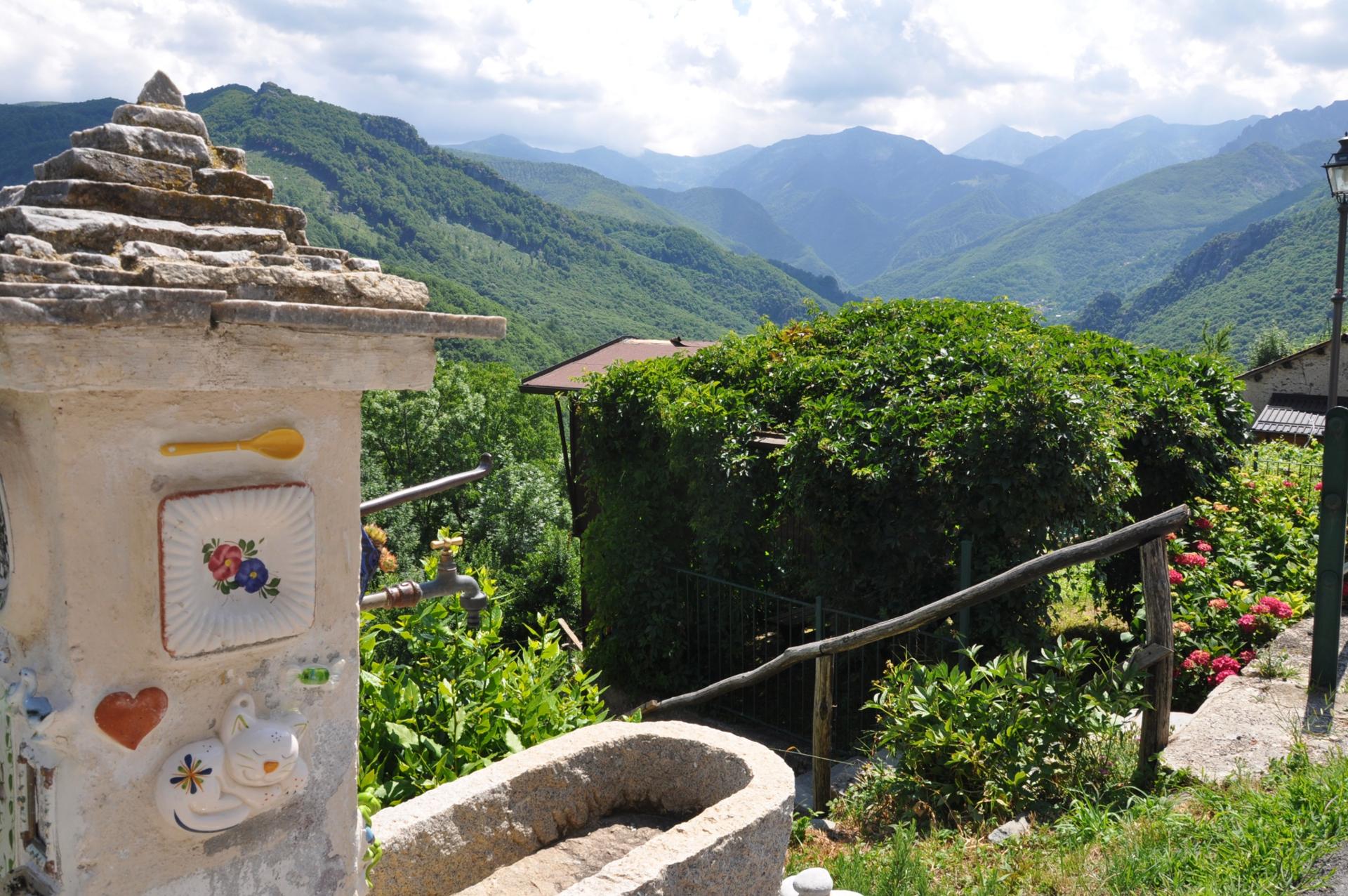
The context is varied and is characterised by extensive areas of alpine landscapes and more limited, flat and hilly areas. It goes from a minimum altitude of 305 metres (Niella Tanaro) to the maximum altitude of 2382 metres a.s.l. of Mount Mondolè. The valleys are furrowed by numerous brooks and waterways, which are mostly streams and tributaries of the main rivers: Ellero, Maudagna, Corsaglia, Casotto, Roburentello, and Tanaro.
Along the route are important naturalistic, geological, anthropic and historical-artistic sights, which are directly connected to the itinerary or can be reached with short detours, among which Bossea caves in Val Corsaglia, the ancient "Certosa di Casotto" and the Sanctuary of Vicoforte.
Difficulty: hiking trail
The detailed route is available on VISITPIEMONTE.COM
esempi di as xml: xml serveResource con templateId (chiave)
esempi di as json: json serveResource con templateId (chiave)
esempi di as json e siteId: json serveResource con siteid
en_US
What
to do
en_US
Experiences
No result found
en_US
Where
sleeping
en_US
Offers
en_US
Info


