PONTECHIANALE, VALLE VARAITA
RIFUGIO VALLANTA
approx. 31,2 km (19.4 mi)
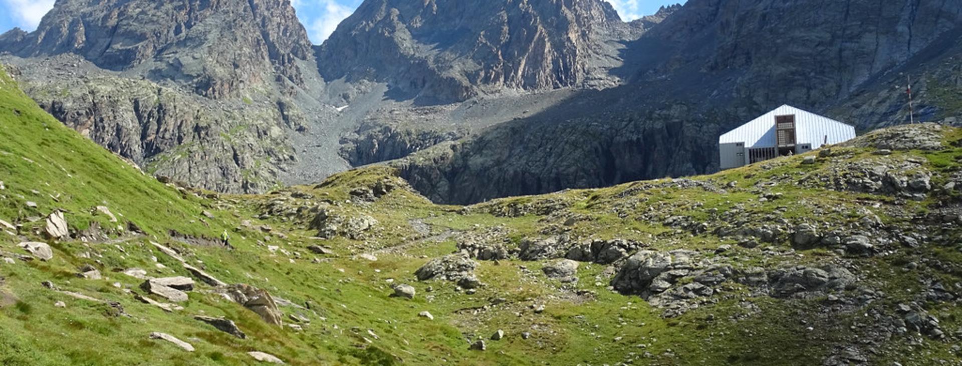
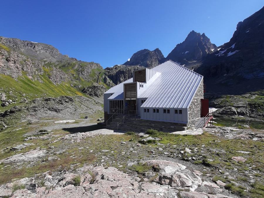
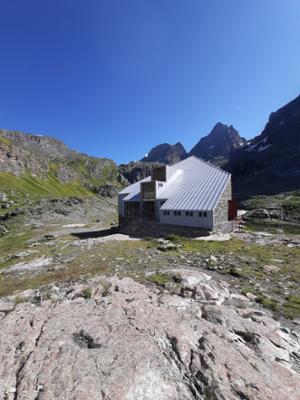
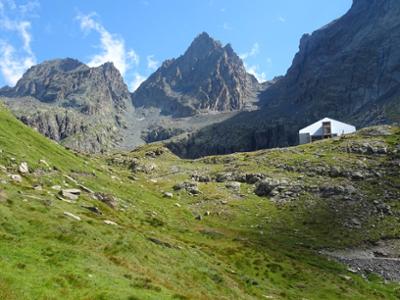
Rifugio Vallanta is a tall, stone and metal structure overlooking Lake Bealera Funsa. The route to reach it, which is always very popular given that it’s along the Giro del Monviso, heads up through the enchanting Vallanta valley beneath the Losetta, Gastaldi, Visolotto, and the impressive Viso di Vallanta mountains.
It should be noted that the mountains are an environment subject to constant change and conditions that can vary depending on the weather, the season, climate change, and human influence. The authors and ATL del Cuneese (the Cuneo board of tourism) decline any responsibility for any injury or other harmful consequences deriving from use of the information provided. Each itinerary is to be followed at your own risk.
The Stages
the route
No result found
No result found


Discover
more
Start: Castello (Pontechianale)
From the car park, follow the paved road for a few dozen meters in the direction of Castello. As soon as you cross the bridge, turn right (fountain) onto the wide, trafficked dirt road with a sandy surface, which begins to climb steeply into the Vallanta valley.
After a few hundred meters, having joined up with a narrow trail from Castello from the left, the mule track reduces its slope. Just ahead, ignore a fork to the right that leads to Rifugio Bagnour.
A bit farther on, the trail splits into two. Both branches join up again two hundred meters later, but we recommend following the one to the right, which is nearly flat. Further on, ignore another fork leading to the Giargiatte valley and arrive at a beautiful plateau, where the view opens up towards Rocce di Viso and the spire Guglia delle Forciolline.
Go around the ruins of the Soulieres farmhouse, in this enchanting spot, and cross the Vallanta stream over a footbridge. The road begins to climb again and passes below the Rio farmhouses. Above an elevation of two thousand meters (about 6,550 ft), ignore the trail on the right to the Berardo bivouac and the Forciolline gorge.
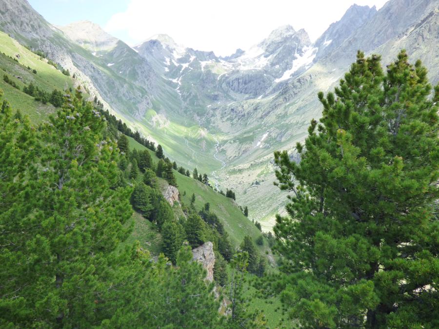
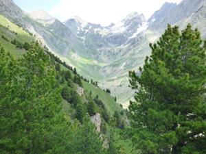
Once past the cabins at Gias d’Ajaut (2,027 m), you will return to the opposite side for the remainder of the journey. Continue climbing through a long series of beautiful, grassy plains located beneath the Tre Chiosis (west) and Caprera (east) peaks, overlooked by the rocky mass of Viso di Vallanta.
Much further on, at an elevation of around 2,200 m (7,200 ft), take a shortcut to the right that cuts off a hairpin bend. Back on the main mule track, go through a few hairpin bends and ignore a fork to the left.
Further up, turn right on a trail that passes under a beautiful waterfall, now in sight of Rifugio Vallanta (2,455 m, fountain), which you will reach following the trail in a semicircle. The panorama here encompasses the impressive three-thousanders that surround the shelter, which include Losetta, Gastaldi, Visolotto and Viso di Vallanta.
The return trip follows in the footsteps of the outward journey.