VALLE STURA, VINADIO
RIFUGIO MALINVERN
approx. 7 km
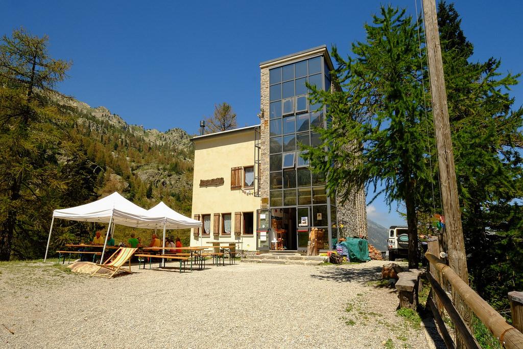
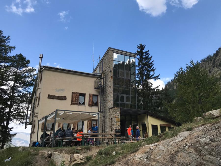
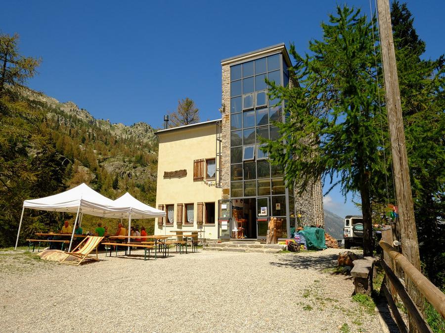
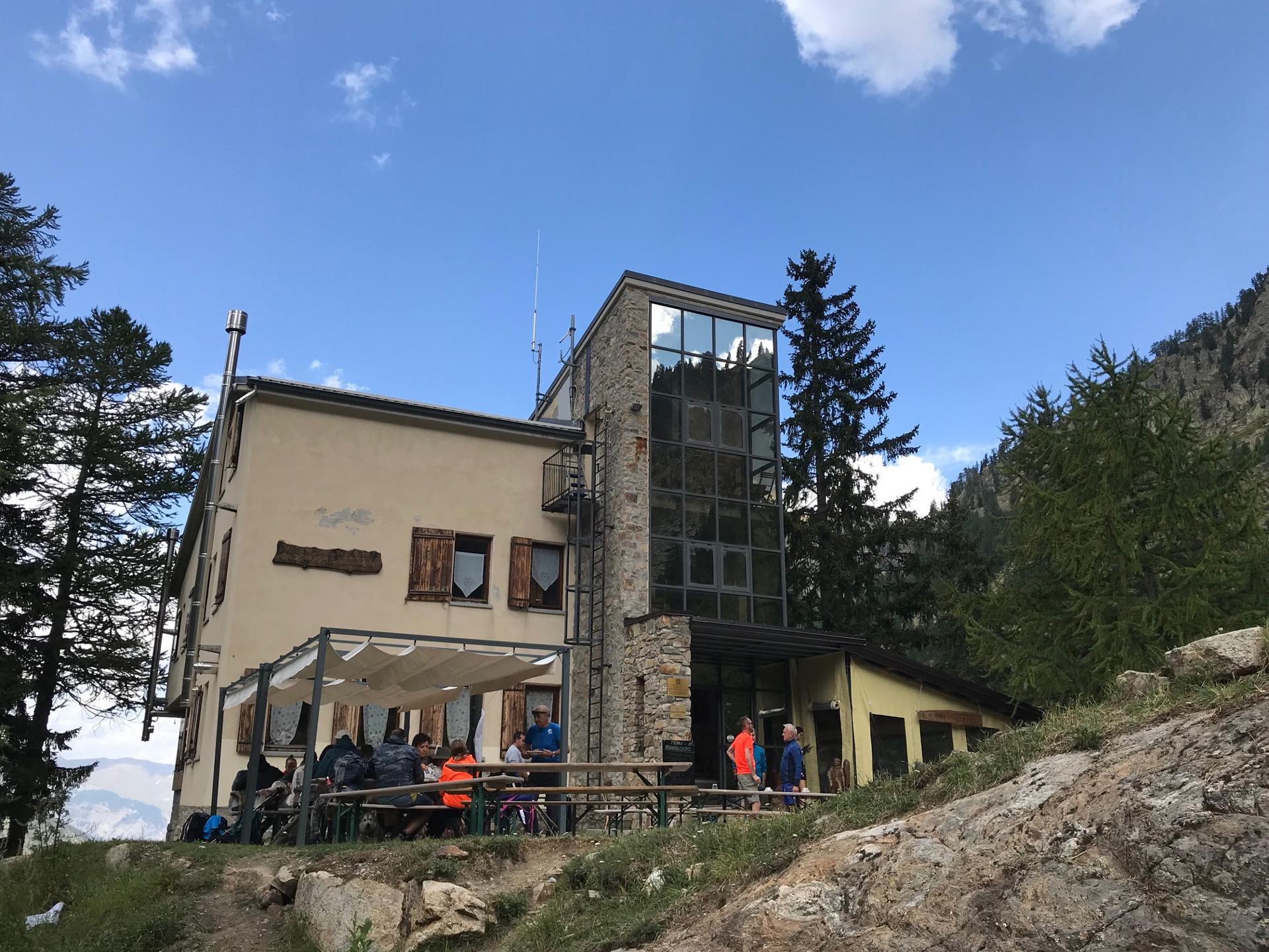
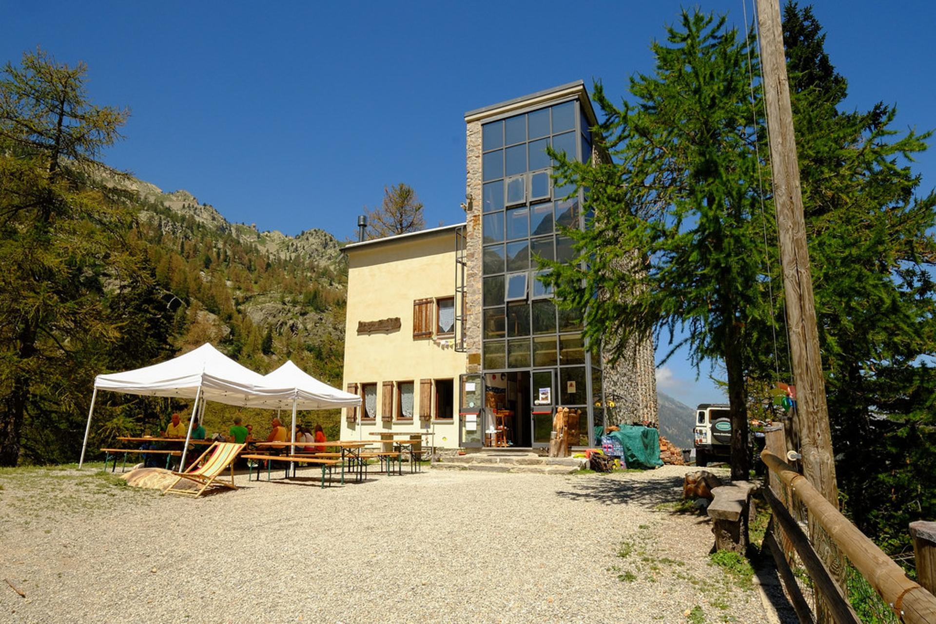
Rifugio Malinvern is located on a rocky knoll overlooking the recessed valley of the Riofreddo, a tributary of the Stura river. A stopover point along the long-distance hiking trail known as the Grande Traversata delle Alpi (GTA), as well as of numerous other itineraries, this alpine lodge is easily accessible by way of a road that rises up from the valley and is closed to motor vehicles. The road is partly paved and partly dirt and winds beneath the impressive Testa del Malinvern.
It should be noted that the mountains are an environment subject to constant change and conditions that can vary depending on the weather, the season, climate change, and human influence. The authors and ATL del Cuneese (the Cuneo board of tourism) decline any responsibility for any injury or other harmful consequences deriving from use of the information provided. Each itinerary is to be followed at your own risk.
The Stages
the route
No result found
No result found


Discover
more
Start: Riofreddo valley (Vinadio)
From the car park, continue along the dirt road, which is closed to motor vehicles and winds slightly uphill among birch, larch and fir trees to the right of the Riofreddo.
Ignoring all side roads, proceed a short distance from the river through dense stands of fir trees, beyond which lovely views out towards the majestic Testa del Malinvern Head at the top of the valley can be enjoyed. Along the way, you will cross two streams from lateral valleys. Shortly after the second of these, you will reach the clearing Gias la Grotta (1,707 m) with the remains of a small stone construction.
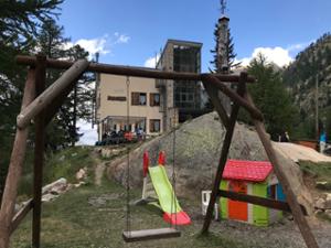
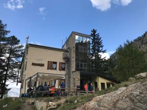
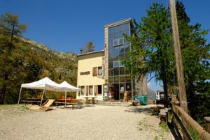
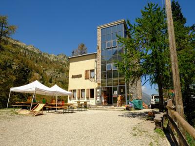
The road continues partly paved in view of Rifugio Malinvern, which dominates the valley atop a rocky knoll. After passing the inconspicuous Gias della Paur, continue up the steep road, first paved, then cemented and finally dirt, which leads to the alpine shelter. Go around it from below, passing the first road to the right to the Orgials lakes and then the next one for Lake Malinvern. You will soon reach Rifugio Malinvern (1,839 m, fountain), a 1990s structure surrounded by larches and firs and with a large glass extension.
The return trip follows the outward route in reverse.