BAGNOLO PIEMONTE, VALLI PO BRONDA E INFERNOTTO
PUNTA RAZIL
VALLE PO
9 km
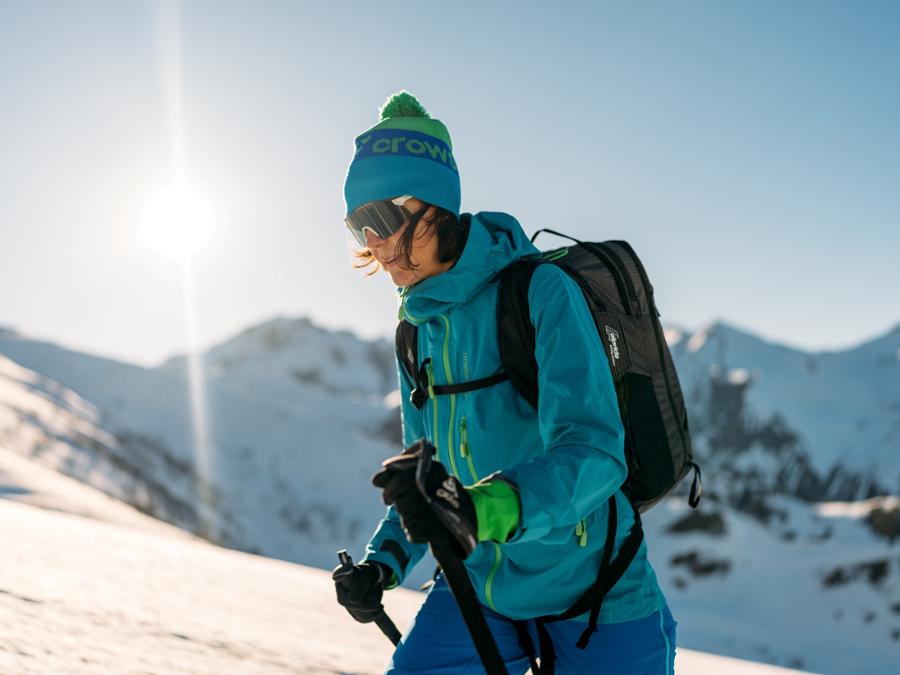
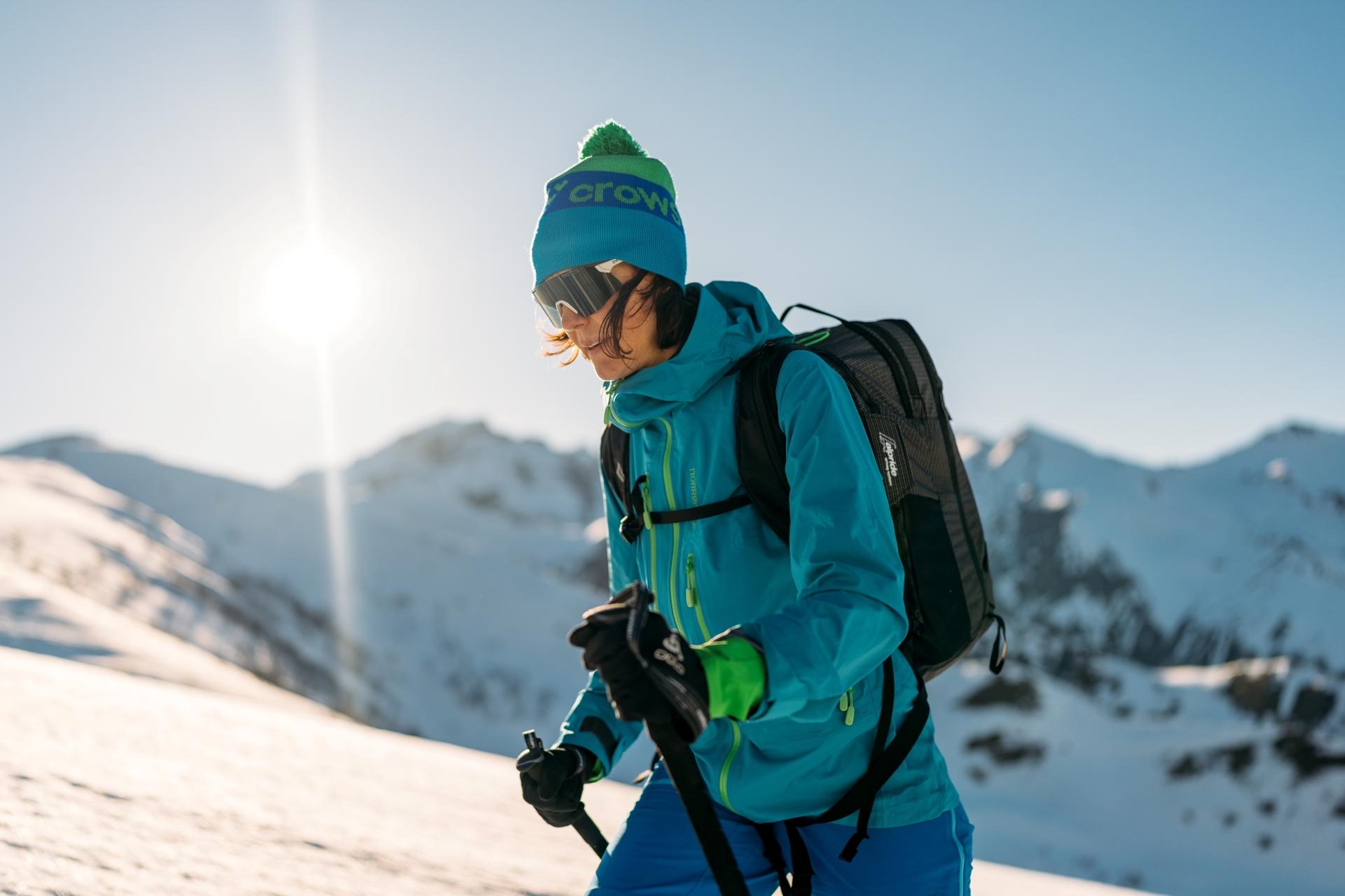
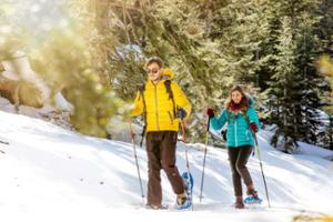
A circular itinerary that touches on the Razil and Selassa peaks. It offers what is probably one of the most spectacular views of Monviso and the surrounding mountains. This breathtaking itinerary is not excessively tiring on a clear winter day when the snow conditions are right.
This itinerary should only be followed when the snow cover is compact.
The Stages
the route
No result found
No result found

Discover
more
Take the wide, snow-covered dirt track from the car park going slightly uphill eastwards.
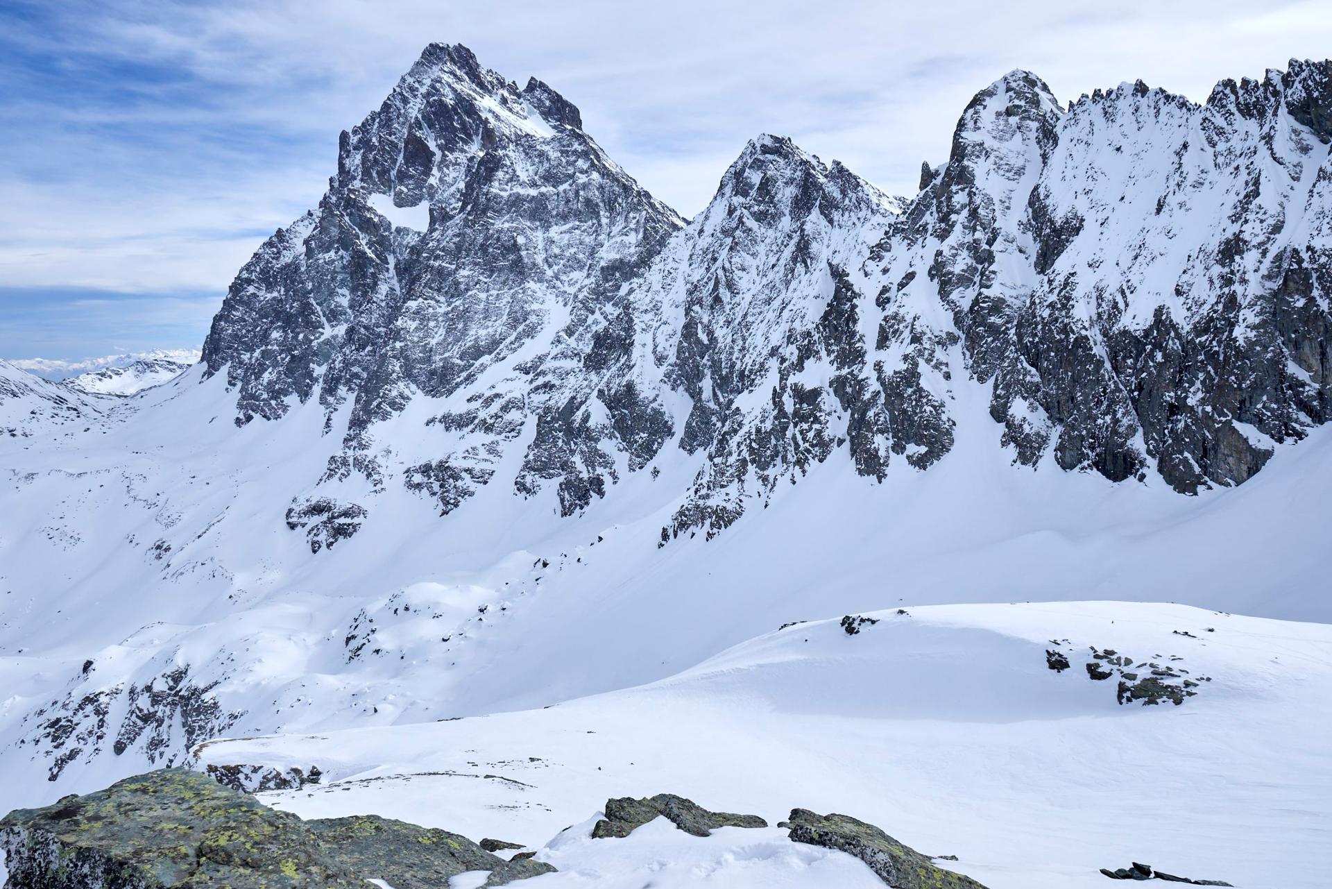
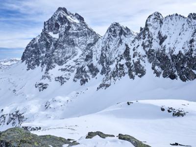
Pian del Ciarm (1,634 m) is one hundred metres or so further on. There are spectacular views from this plateau of the lower Po valley on one side and Monviso and Visolotto on the other.
The rough track turns to the left and a very gently climbs first to the north-west and then north-east between occasional birch and larch trees. After one kilometre or so, pass by the slightly downhill path on the right (this is the return route).
A little higher up, pass by the Sevëlhoun Piloun, one of the many characteristic, pillar-like rock formations in the area. One hundred and fifty metres further on, just before the meteorological station, turn right on to a small path (pole) rising among increasingly sparse larches.
Cut across a recent new track and continue on the opposite side, roughly following the summer path that runs along the line of maximum gradient.
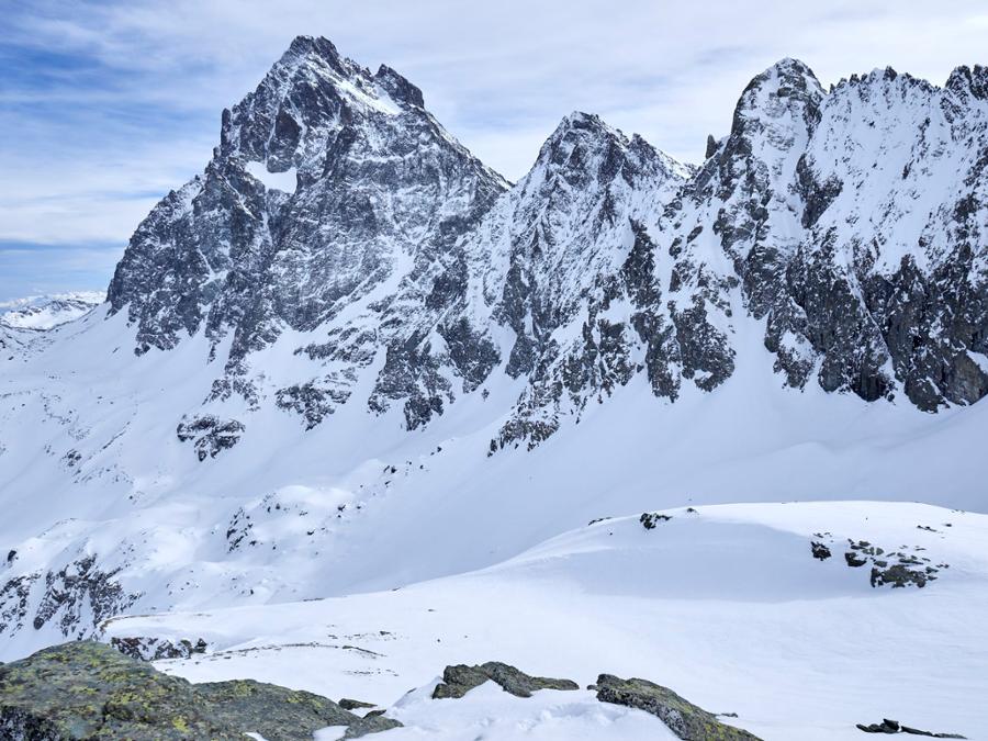
On reaching a shoulder, there are excellent views towards the Selassa peak and the plains. Turn left along the steep and demanding Serviglione ridge. The slopes exceed 30% in several sections and must therefore only be taken with well-packed snow.
On coming up to some stacked boulders, walk around them from the left and then return to the wide ridge to see the nearby Frioland and Briccas mountains. Continue uphill for a few hundred metres and then turn slightly to the left to pass around a hill and reach the Bernardo Hill (2,252 m).
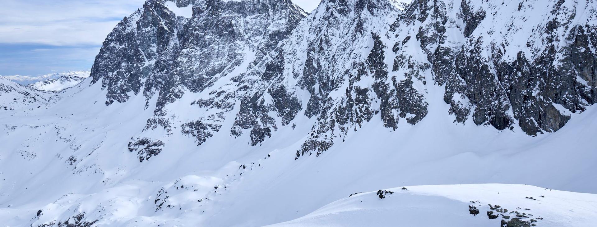
Proceed northwards up the long slope to Punta Razil (or Punta Rumelletta, 2,385 m), surmounted by a small cross. This spot offers exceptional views of the entire Monviso sierra.
Go down again to the Bernardo Hill. Then climb up the opposite side (south-east) for a couple of metres to reach a plateau. Move on, faithfully following the ridge descending to the broad Selassa Hill (2,012 m).
Make a short detour to Punta Selassa (2,037 m) to enjoy a spectacular, scenic balcony over the lower Po valley, Mombracco and, needless to say, the Monviso group.
Return to the Selassa Hill and descend in the direction of the visible track, cutting across the slopes of the Serviglione ridge. On reaching this point, follow it to the right for a few hundred metres and then leave it by turning left on to the summer path. This stretch cuts across steep slopes and should only be taken when the snow is well packed.
Follow the path descending in a south-west direction. Further down, go on a few metres more to join the track near the hairpin serving the mountain pastures followed on the outward journey. Now simply follow this route back to the car to complete this snowshoe hike in magnificent settings.
Download Snowshoe and ski mountaineering itineraries in the Cuneo and Haute Provence Alps