CRISSOLO, ONCINO, OSTANA, PAESANA, SANFRONT, VALLI PO BRONDA E INFERNOTTO
ORIZZONTE MONVISO
Sanfront (74,00 km)
74 km
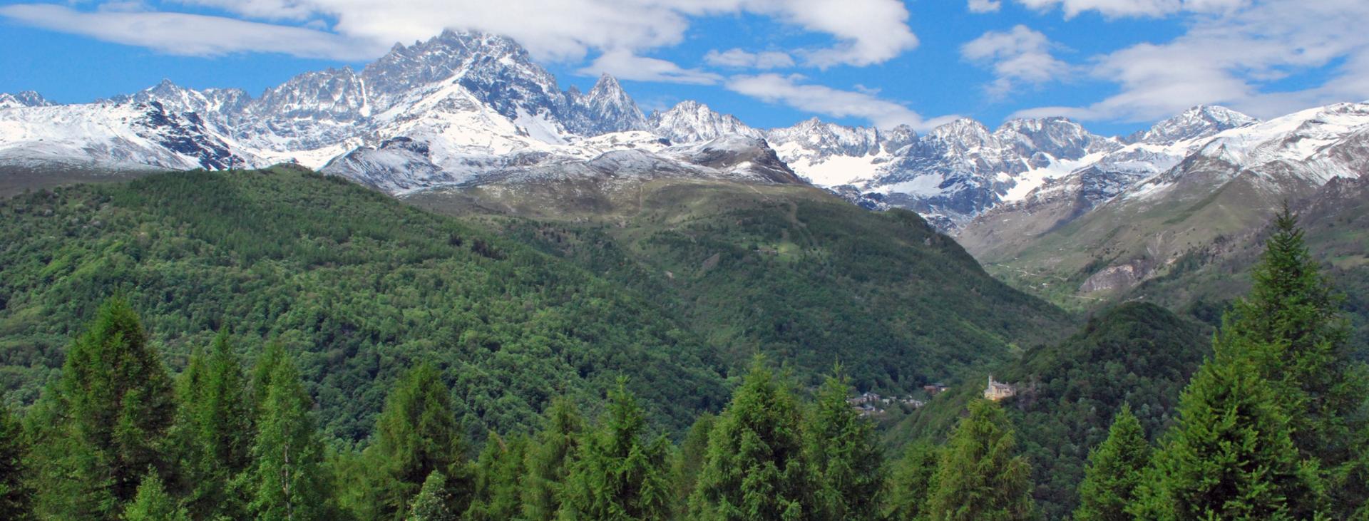
Orizzonte Monviso is a hiking ring of unique beauty and variety. Precisely because of the richness of the environments it crosses, it is suitable for those who are looking for an extremely satisfying trek from many perspectives: in fact, it offers continuous cultural, artistic and environmental inspirations.
Distance
74 km
Route time
23 hours 33 minutes
Starting altitude
475 mt
Ending altitude
475 mt
Altitude difference
3023 mt
Season
SUMMER
Targets
SPORTSPERSON
Please note that itineraries may include roads where motor vehicles are allowed. Authors and trail testers are not responsible for the information contained.
No result found
No result found
Discover
more
Its treasured gem is the horizon that stands out like a painting in the eyes of those who set out on it: Monviso, which appears and disappears, which after a short climb or on the opposite side presents an unknown face, a new aspect, an unusual colour, an increasingly new magic. The walk will be a continuous discovery and the relatively small difference in height of the entire itinerary will make up for the length of some of the stages.
The ring of Orizzonte Monviso offers the hiker the possibility to approach the world of the high lands of the Valle Po by walking along the paths and gradually discovering its thousand faces. The municipalities of Sanfront, Paesana, Oncino, Ostana and Crissolo, link the itinerary through a dense network of paths that brushes villages and places far from the main known routes; well-maintained and marked paths that have the Stone King as the constant horizon of this exciting hiking ring.
Orizzonte Monviso is also an interesting offer for cyclists with a good physical preparation; the conspicuous presence of dirt roads and mule tracks on which the route is developed will certainly meet everyone's expectations. A large part of the ring can infact be covered in the saddle, with times and developments that can be modulated according to the ability and endurance of each person.
Difficulty: hiking trail
The detailed route is available on VISITPIEMONTE.COM
esempi di as xml: xml serveResource con templateId (chiave)
esempi di as json: json serveResource con templateId (chiave)
esempi di as json e siteId: json serveResource con siteid
en_US
What
to do
en_US
Experiences
No result found
en_US
Where
sleeping
en_US
Offers
en_US
Info