
FRABOSA SOTTANA, VALLI MONREGALESI
MONTE MONDOLÈ
approx. 8 km (5 mi)
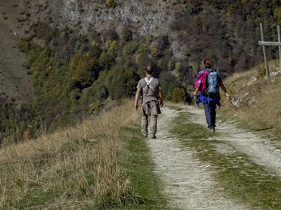
Mondolè, with its characteristic pyramid shape, is well recognizable from the Cuneo plain and looms over the Ellero, Maudagna and Corsaglia valleys. Due to its secluded location, the summit offers some extraordinary panoramas, and on clear days it’s even possible to see the port of Genoa. The mountain offers several routes to the top, but the one described below is the easiest and shortest.
It should be noted that the mountains are an environment subject to constant change and conditions that can vary depending on the weather, the season, climate change, and human influence. The authors and ATL del Cuneese (the Cuneo board of tourism) decline any responsibility for any injury or other harmful consequences deriving from use of the information provided. Each itinerary is to be followed at your own risk.
The Stages
the route
No result found
No result found


Discover
more
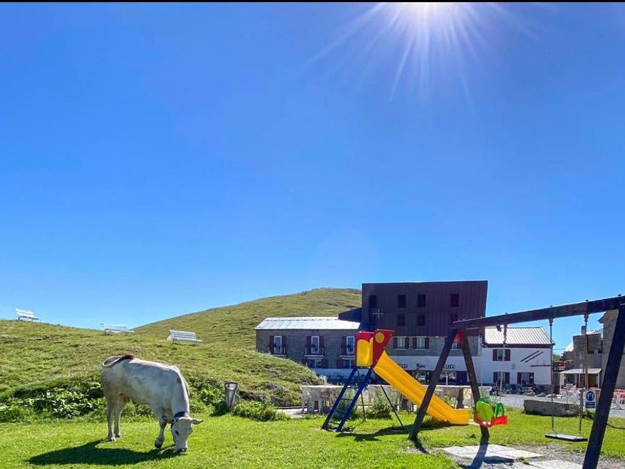
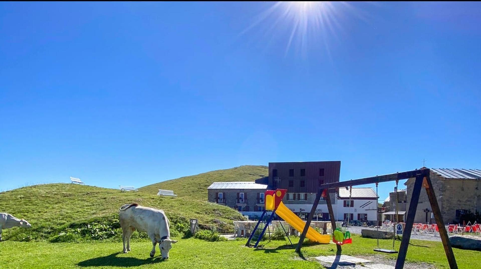
Start: Balma Pass (Prato Nevoso)
From the Balma Pass (1,886 m), ignore the dirt road for Lake Scalette to the right and the road for Alpe Seirasso to the left, and take the trail up the steep grassy slope between the two.
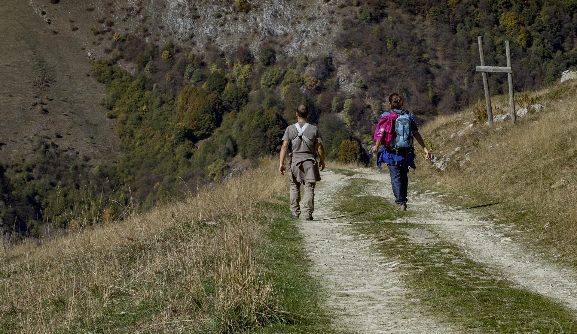
The trail initially follows the line of maximum slope. After gaining about sixty meters of elevation, it turns to the left and branches out into several directions. Following the markings, continue along an easy traverse that cuts across the grassy, southeast face of Mondolè beneath the Rocche Giardina towers. The trail skirts valleys and ridges dotted with rhododendrons and junipers and offers stunning views of Mount Fantino, the tip of Zucco, and Mongioie.
Above an elevation of 2,200 m (7,200 ft), the trail emerges on the southern ridge of Mondolè. The opposite side features undulating, green terrain, while the summit of Mondolè, now within reach, rises prominently a few hundred meters to the north.
Turn right and continue along the trail that heads up the south ridge, an easy climb at first and indicated clearly by both markings and cairns. Looking back, you can enjoy lovely views out towards the Seirasso summit and Rocca dell’Inferno. At an elevation of around 2,300 meters (7,550 ft), leave a sinkhole on the left, a typical karst feature in these areas, after which the trail becomes steeper and more rugged.
At a certain point, the markings take you past a strip of rocks, which is easy to pass and not exposed, but it will be necessary to use your hands (alternatively, you can go around them to the right along a small trail).
After a final climb, you will reach the spacious summit of Mondolè (2,382 m), where there is a statue of the Virgin Mary and two crosses. Due to its secluded location, the panorama extends out over a large part of the Ligurian Alps, from Mongioie to Bisalta, the Maritime Alps and, in the distance, Monviso. On clear days, it’s even possible to see the port of Genoa.
The return follows the same route as the outward trip.