ACCEGLIO, VALLE MAIRA
MONTE BELLINO MTB RING TRAIL
37 km
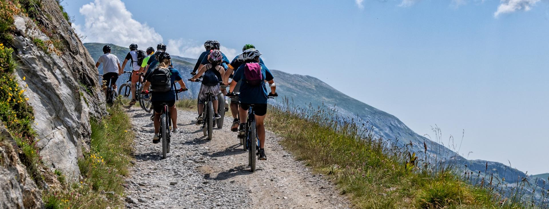
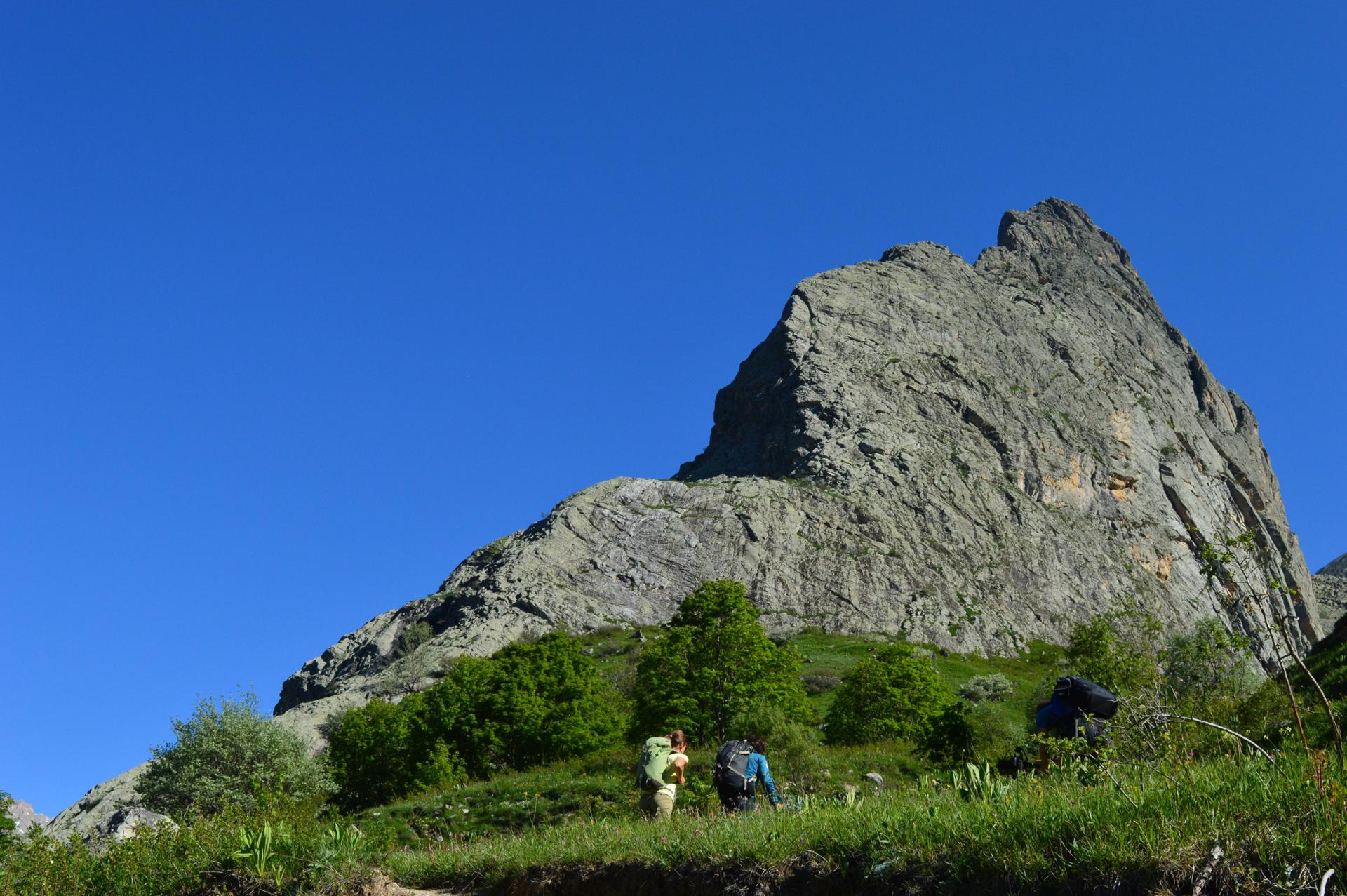
The Monte Bellino MTB ring trail is a classic and a must for the curricula of all fans of this sport. Being able to ride as far up as 3,000 metres is incredibly exciting; the magical mountain environment in the heart of the Cottian Alps is sure to offer us unique, majestic views, typical of the upper Maira Valley. Starting your descent from the top of Monte Bellino delivers a real shot of adrenaline, after which you’ll continue alongside the Castello-Provenzale mountain range and the Stroppia Waterfalls. The ring trail is suitable for trained cyclists with a high level of technical expertise.
Please note that itineraries may include roads where motor vehicles are allowed. Authors and trail testers are not responsible for the information contained.
The Stages
the route
No result found
No result found

Discover
more
You will start your adventure from Ponte Maira, a characteristic alpine village just above the municipality of Acceglio, with a quick descent to Villar. Here, turn left in the direction of Lausetto, starting a long climb of about 17 km in the beautiful, secluded valley of Traversiera. Shortly after passing through the village of Colombata, the road becomes unpaved and, once out of the woods, we first arrive first at the Grange Varizio and shortly afterwards at the beautiful church of Madonna delle Grazie. The ideal location for replenishing your water supply for the last time and taking a short break as you admire the splendid panorama below.
The scent of alpine flowers begins to waft through the air, as you cycle through green pastures where herds of cows graze in the sun, on a military road that is a true masterpiece of engineering. It winds uphill, past the Grange Morletto, the Grange Priurà and the Gias Traversiera, where you will begin to see the final point of the climb.
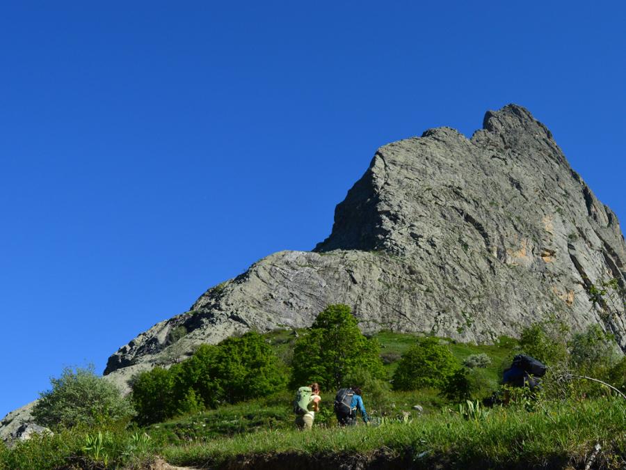
The last part of the climb will take you to the Valle Maira / Valle Varaita ridge, where you will reach the Rifugio Carmagnola, an old military shelter, flanked by the new bivouac shelter. It is the ideal place for a refreshing break, with an incredible view over the entire valley of Traversiera.
A fantastic stretch on the bike trail leads us to the last steep 50 metres of route to be tackled on foot, leading us to the summit of Mount Bellino at an altitude of 2,942 metres; the effort is immediately rewarded by an exceptional 360 ° view of the Cottian Alps on the border with France, as far as the Monviso.
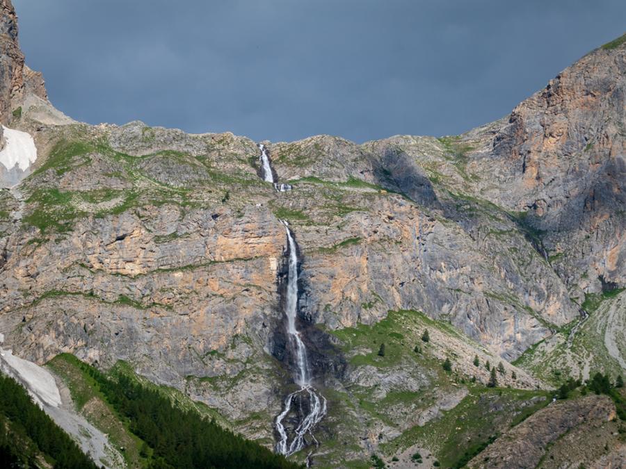
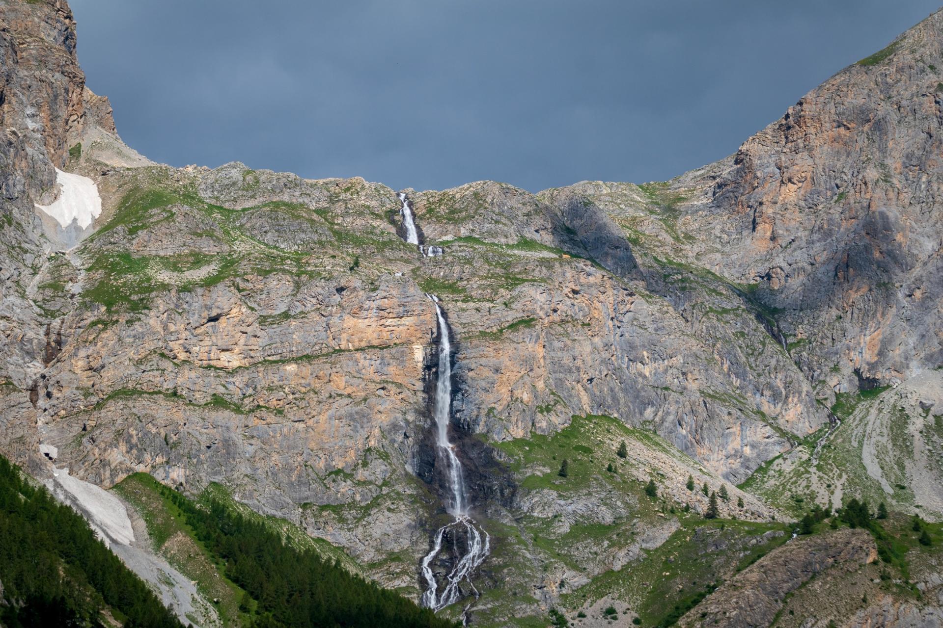
The descent is on a single path, always easy to ride on steep slopes, and features a few sections classed as difficulty level S2. Between hairpin bends and spectacular curves, you will be lucky enough to come out in front of a bird’s eye view of the Castello-Provenzale range, steeped in Alpine history. You will then arrive at the Grange Collet, where the T16 trail ends. Take the dirt road that leads you to the base of the Stroppia Waterfalls, the highest in Italy, with their drop of about 500 metres. In a few minutes you will arrive in Chiappera, one of the most beautiful alpine villages in Italy and ideal for a refreshing break.
From the centre of Chiappera take the"Occitan Paths", descending on the village of Saretto and coming full circle on Ponte Maira. The uphill stretch of the proposed itinerary can also be ridden back downhill, considerably reducing the technical difficulty.
Download Cycling and Cycling Tourism Itineraries in the Province of Cuneo