VALLI MONREGALESI, VICOFORTE
LANDANDÈ: VALLI MONREGALESI
Comune di Vicoforte
5 km (almost two miles)
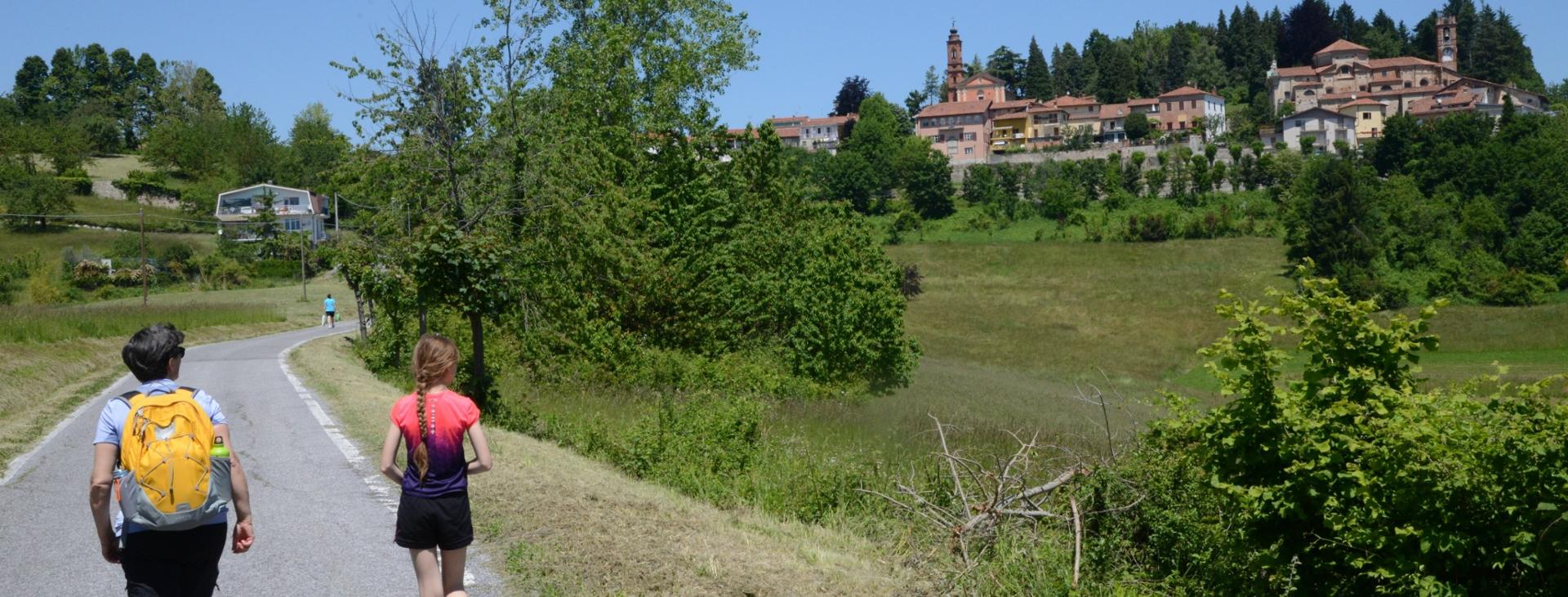
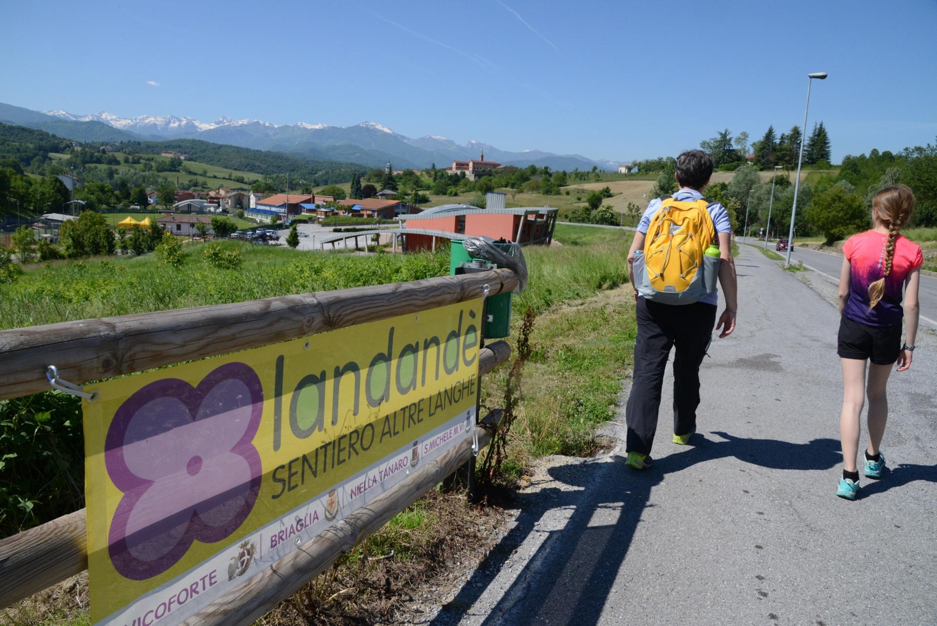
An easy outing along a part of one of the sections of the Landandè Trail, a 55 km (34 mi) itinerary to discover the cultural and culinary delights of the area. This itinerary starts in Vicoforte, from the parking areas in via al Santuario. The bike and pedestrian route that connects Vicoforte and the sanctuary, the elliptical dome of which can be seen in the distance, passes right by here.
Difficulty level
Children 5 and older; small children in a backpack carrier or stroller
Distance
5 km (almost two miles)
Route time
1.75 hours total
Starting altitude
550 mt
Altitude difference
200 mt
Recommended season
Year-round without snow.
Tour type
Circuit on paved and dirt roads
Targets
FAMILIES
Please note that itineraries may include roads where motor vehicles are allowed. Authors and trail testers are not responsible for the information contained.
The itinerary is mostly on paved roads with little shade, so be careful of the sun in the summer months. If you would like to shorten the route by about a mile (1.6 km), you can take via Roma through Vicoforte-Borgo to reconnect with the main itinerary at the church of San Donato.
No result found
No result found


Discover
more

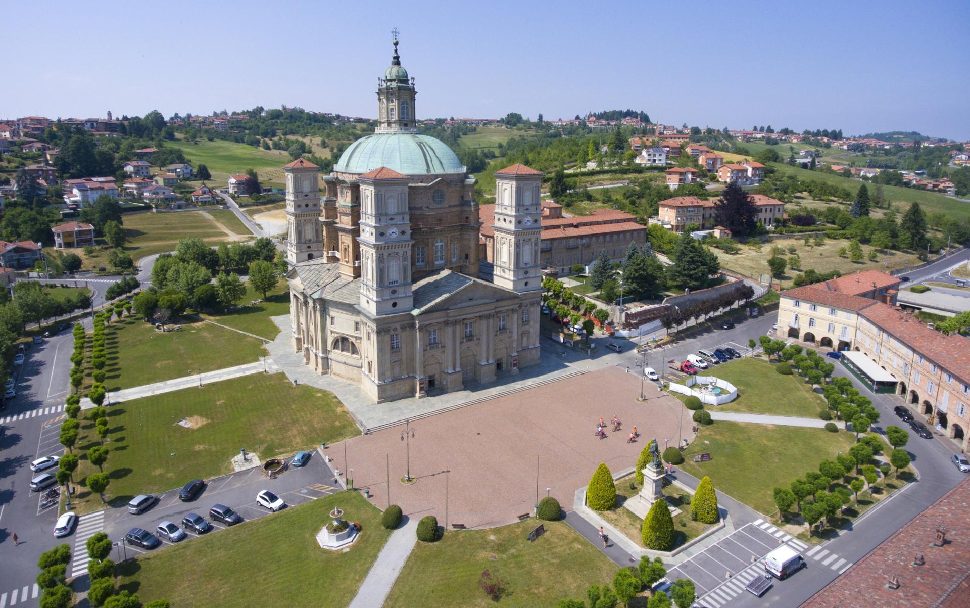
Follow this bike route downhill, following the brown signs with the Landandè flower logo, for an easy stroll to the impressive santuario di Vicoforte, featuring the world’s largest elliptical dome (75 meters tall, 37.15 meters long by 25 meters wide) erected by order of Charles Emmanuel I, Duke of Savoy, in 1596. All around the sanctuary there is a shaded portico with various shops and wonderful Italian bakeries! There is also a playground with swings nearby. Another fun activity is to go up into the dome for an incredible view that has only recently been possible.
From the left-hand corner of the sanctuary, near the fountain, take via San Rocco uphill (sign: “Clarisse”). Follow the paved road uphill past the cloistered convent of the Sisters of St. Clare until you reach a chapel standing on its own. The view to both sides here, out over the Vicoforte valley and the hills out to the horizon, make this a very enjoyable section of the walk.
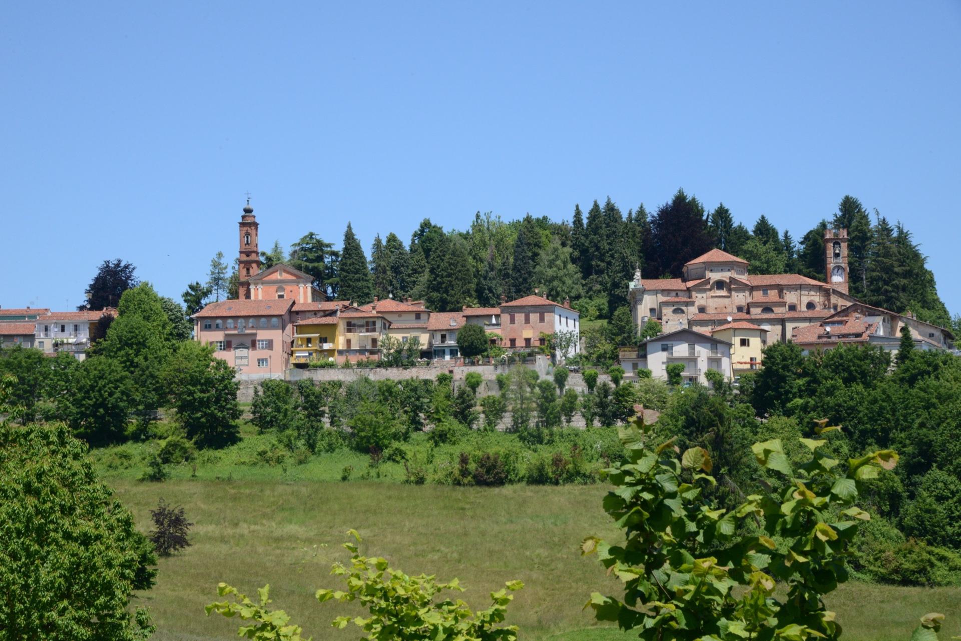
When you reach an intersection with a wider road, you will be in the area of Vicoforte-Borgo (fountain), once the site of an ancient castle, traces of which can be seen in the names of various streets, such as “Vicolo dei Bastioni” (lit. “Bulwarks Lane”) and “Viale Sotto il Fossato” (lit. “Avenue Under the Moat”). Turn to the left, uphill. If you’d like, you can take a brief detour to the right, along via Roma, to visit the village center. The Landandè itinerary continues to the left, then turn left, downhill, onto a narrow-paved road immediately after the old weigh station.
Continue along the paved road until you reach a crossroads with a large beech tree in the middle. To the left, you would head towards Fontana del Fo, whereas the Landandè flower points to the right, continuing downhill onto a dirt road. At the fork in the road, keep to the right, slightly uphill, to reach the shrine of Avagnina. Continue uphill along the paved road to the right, in the direction of the cemetery. Pass the cemetery to arrive back in Vicoforte-Borgo, near the church of San Donato.
Head down along via al Castello until you reach via Galliano. Turn left here and head slightly downhill, passing houses of Vicoforte that hint at the historical importance and wealth of this ancient village. Behind the chapel of San Teobado you will find a few tables and a playground. Continue along the same road until you reach a roundabout. Take the first exit from the roundabout to the right, and you will soon be back at the start.
esempi di as xml: xml serveResource con templateId (chiave)
esempi di as json: json serveResource con templateId (chiave)
esempi di as json e siteId: json serveResource con siteid
en_US
What
to do
en_US
Experiences
No result found
en_US
Where
sleeping
en_US
Offers
en_US
Info


