CRISSOLO, VALLI PO BRONDA E INFERNOTTO
LAGO CHIARETTO FROM PIAN DELLA REGINA
9 km
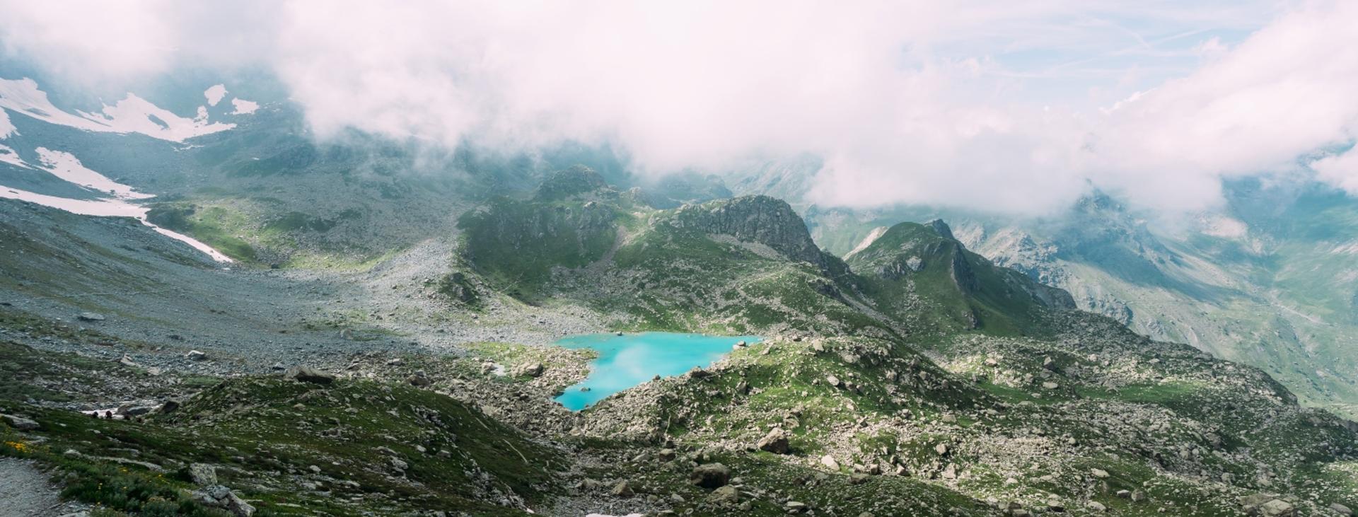
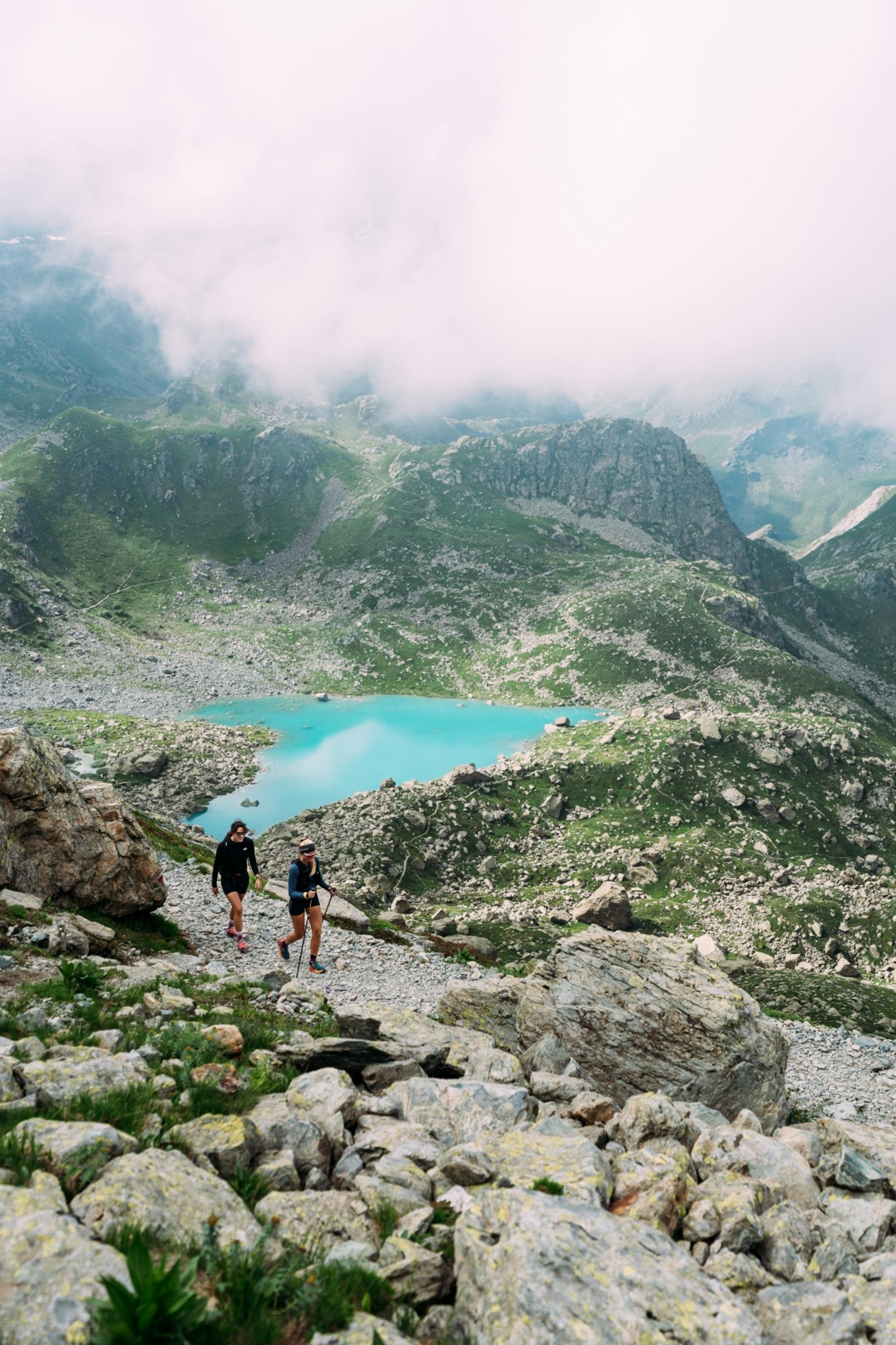
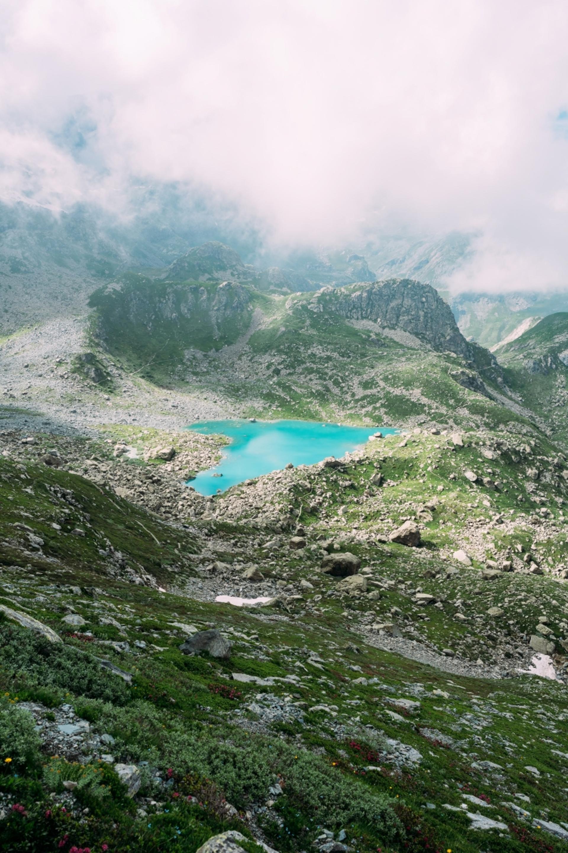
Chiaretto is a wonderful body of water at the foot of Monviso that features an intense turquoise color. It is undoubtedly one of the loveliest lakes in the Cuneo Alps, although its beauty is difficult to capture in a photo. It owes its characteristic color to the presence of smaragdite, a green mineral present in the ophiolites of Monviso, known as the “Stone King”. Below we offer an alternative to the traditional itinerary that starts from Pian del Re. This one is a bit longer but also more varied, while remaining in the area of Monviso and its “satellite” formations Viso Mozzo and Visolotto.
Difficulty level
E
Distance
9 km
Starting altitude
1737 mt
Altitude difference
620 mt
Lowest / Highest point
2317
Season
SUMMER , SPRING
Targets
SPORTSPERSON
Snow may be found in the Rio dei Quarti valley until late spring.
No result found
No result found


Discover
more

From Pian della Regina (1,737 m, fountain), also known as Pian Melzé, descend towards the Po along the road that starts out paved then turns to cement before becoming a dirt road. Sensational views of Monviso and Visolotto can be enjoyed in the background.
After a short descent, pass the fork to the left that goes around the houses from the valley and follow the dirt road to the west. After about 150 meters (500 feet)along the Po, leave this road to cross the river on a wooden bridge and continue along a grassy road that rises through a few larch trees.
The road proceeds through a pair of switchbacks between a few erratic boulders, offering stunning views to the northwest towards Pian del Re and the Chapel of Our Lady of the Snow (which you will pass on the return trip).
At an elevation of around 1,930 m (6,300 ft), leave the dirt road to take a wide mule track that heads off to the right. A little further on, this track narrows, crosses a stony strip and continues diagonally upwards across from the rocky cliffs that delimit the opposite side of the Rio dei Quarti valley.
This trail winds through large erratic boulders. Following a few red arrows, ignore each fork in the trail and continue to the upper part of the valley enclosed by a grand amphitheater of peaks, including Viso Mozzo, Monviso, Cadreghe di Viso, and Visolotto.
At the crossroads of the village of Balmetta (2,189 m), the branch to the left heads to Mount Grincia di Pastour, and straight heads to Rifugio Quintino Sella.
Turn right here and continue along an easy trail to arrive directly at the shores of Lake Chiaretto (2,261 m), one of the most spectacular in the Cuneo Alps due to its location at the foot of Monviso and the remarkable color of its water.
In the summer of 1989, a huge chunk of the Coolidge Glacier, now downgraded to a glacial snowfield, broke off and plunged into the lake, filling part of it forever. At that time, two mountaineers were in the Falchi-Villata bivouac, at 2,680 m (8,800 ft)on a rocky outcropping at the lower end of the Coolidge couloir. Although they were swept away by the collapsing glacier, they were miraculously unharmed. From the lake, if you look carefully towards the northeast wall of Monviso, both the couloir and the bright red bivouac are clearly visible.
Past the trail to the left (south) for Quintino Sella, head up to the north and gain about forty meters (130 feet) of elevation. At the top (2,317 m, about 7,600 ft, the highest point of the route), pass the trail for Lake Superiore to your left and head down to the right at the foot of a rocky massif overlooking the Rio dei Quarti valley.
Once you have reached a grassy pass, continue down between boulders and grassy fields. The zig-zagging trail will take you to the beautiful Lake Fiorenza (2,113 m), which is of glacial origin. Past a trail to Rifugio Giacoletti on your left, continue along the right bank of the large body of water, which, on clear days, reflects the impressive north face of Monviso.
Once you have reached the lake’s outlet, continue for a short distance along its right bank and then cross it lower down. After several switchbacks, head down to the start of Pian del Re near a large boulder that marks the source of the river Po (as indicated on a rock). It seems incredible that this small stream eventually crosses the whole of northern Italy to become the country’s longest river.
Cross the wooden walkway at the center of the plateau to reach the always crowded parking area for Pian del Re (fountain). Descend along the paved road for a few dozen meters until you reach the isolated Chapel of Our Lady of the Snow (Madonna della Neve), perched atop a lovely rocky spur.
Take a mule track to the right that descends initially with a few zigzags not far from the chapel and then continues along lengthy traverses to the grassy meadow Pian Fiorenza, where the slope lessens. Cross a lateral stream to reach a chapel and an alpine house, where the trail widens into a dirt road.
Head down to the wooden bridge that crosses the Po and marks the end of your loop. From here, just follow the short stretch from the start back to your car.
esempi di as xml: xml serveResource con templateId (chiave)
esempi di as json: json serveResource con templateId (chiave)
esempi di as json e siteId: json serveResource con siteid
en_US
What
to do
en_US
Experiences
No result found
en_US
Where
sleeping
en_US
Offers
en_US
Info


