ACCEGLIO, VALLE GRANA, VALLE MAIRA, VALLE STURA
GARDETTA BIKE EMOTIONS
27 km
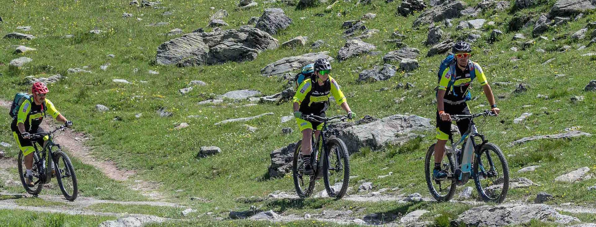
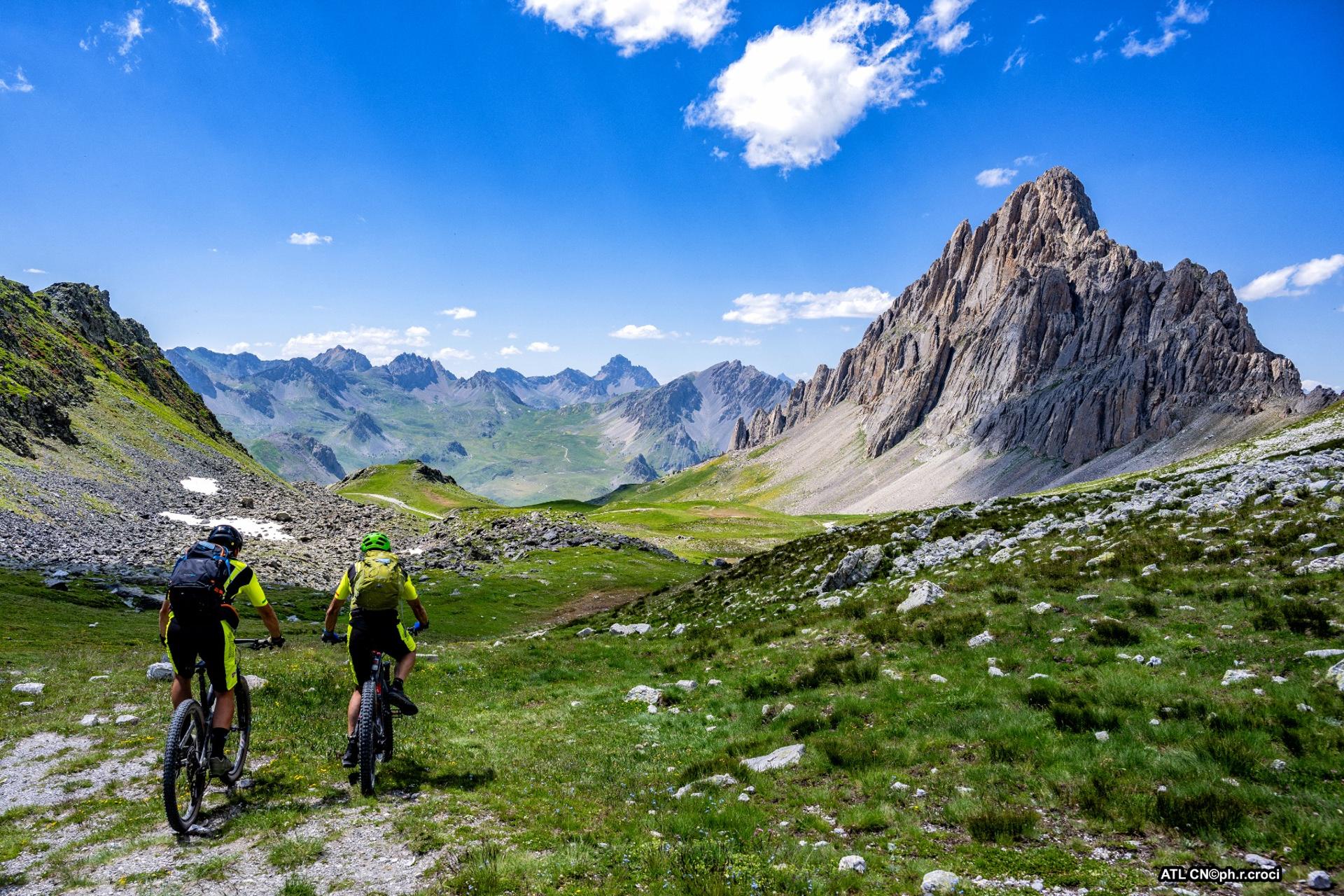
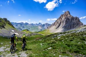
The itinerary described is located in what is considered the geological and environmental heritage of the province of Cuneo, the Gardetta plateau. The road that runs along it is completely unpaved and was built for military purposes, then used by shepherds and local inhabitants. Today it can be experienced by bike as we ride through one of the most extraordinary places in the Cottian Alps. It can be reached from the Stura, Grana and Maira Valleys but the itinerary proposed here suggests departing from the Colle Valcalvera so as to be able to travel the route from beginning to end, up to the Gardetta Pass. An almost always flat surface and slight gradient allow you to glide along, admiring an incredible natural spectacle at a very high altitude with little effort.
Please note that itineraries may include roads where motor vehicles are allowed. Authors and trail testers are not responsible for the information contained.
The Stages
the route
No result found
No result found


Discover
more
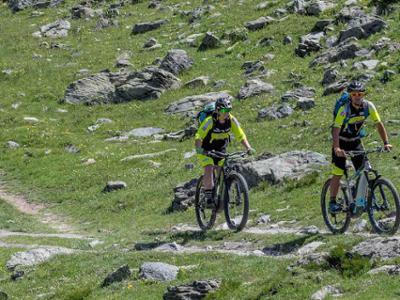
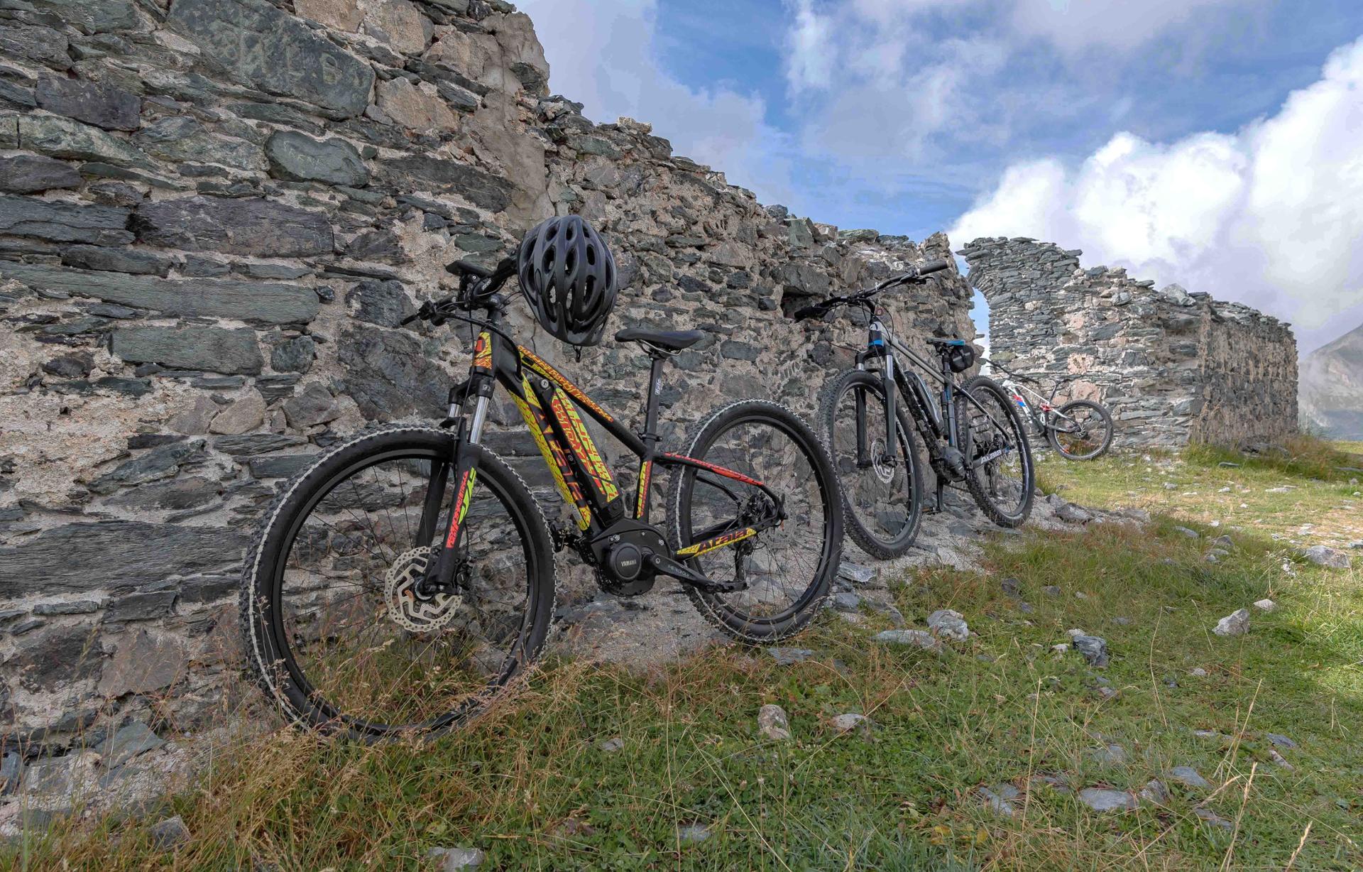
The full route is about 27 km long, with an elevation gain of just over 500 metres. It is an itinerary that we recommend you tackle with a front or full MTB or e-bike as the terrain it features is unpaved and in some parts bumpy with rocks.
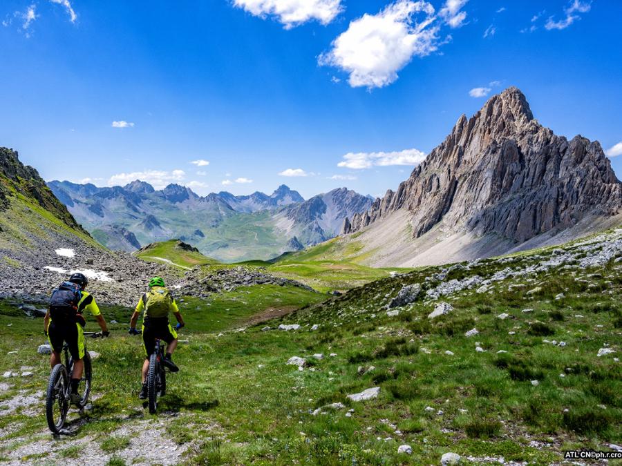
It is a high mountain road that you already turn on to at a high altitude so with very little effort, you can immerse yourself in unspoiled beauty, surrounded by majestic landscapes and the history of the place.
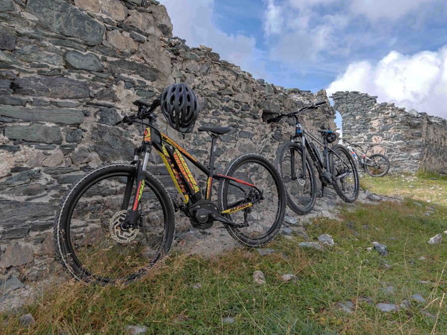
The route starts from Colle Valcavera, or from the Carbonetto Refuge in Valle Stura or even from the Sanctuary of San Magno in Valle Grana (adding a few kilometres and about 500 meters in altitude). You set off on the only road present towards the Bandia hill, home to military structures of the late nineteenth century.
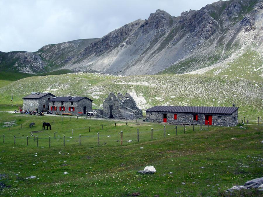
Continue towards the Margherina hill under the imposing la Meja fortress and then uphill towards the hill of Salsas Blancias, the arrival point of the climb from Sambuco. From here, you’ll continue downhill on a regular course, passing under the Bric Servagno and even further down to the intersection with the road that goes up from Preit, in the Maira Valley. After one last uphill stretch, you reach the Gardetta refuge and finally the Gardetta pass, which overlooks the Unerzio valley. This will give you a full view of the entire plateau and the Meja fortress, here seen in profile. For the return take the same route as on the outward journey.
Almost at the beginning of the itinerary, before the Bandia hill, expert, experienced bikers only can opt to climb on the right towards the colle d’Ancoccia and then descend towards Lake Meja and join the road described above at the Margherina hill.
Download Cycling and Cycling Tourism Itineraries in the Province of Cuneo