CASTELMAGNO, VALLE GRANA
CREST DI MULETS, VIRIBIANC PEAK AND MOUNT VIRIDIO
approx. 14 km (8.7 mi)
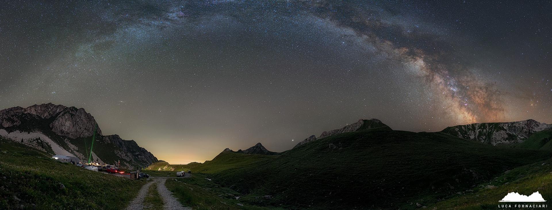
A loop from the village of Chiappi di Castelmagno to the ridge between the Grana and Arma valleys, a branch of the Stura valley, in a section between Colle Viribianc and Colle del Nais. This challenging route of continuous ascents and descents along the ridge offers some amazing views of the Maritime and Cottian Alps.
This itinerary is to be done at the right time of year, i.e. in spring after the snowmelt but before the explosion of flora growth, or else in autumn.
It should be noted that the mountains are an environment subject to constant change and conditions that can vary depending on the weather, the season, climate change, and human influence. The authors and ATL del Cuneese (the Cuneo board of tourism) decline any responsibility for any injury or other harmful consequences deriving from use of the information provided. Each itinerary is to be followed at your own risk.
The Stages
the route
No result found
No result found


Discover
more
From the car park, go back along the paved road that heads up to Chiappi. At the café of the cross-country center, turn left. After a few dozen meters, ignore a road that goes up to the right towards the Castelmagno cheesemaker and the La Meiro in and continue to the left along the road that has now turned to dirt as it descends towards the Grana river.
Turn left again and cross the stream over the Pont di Moulin bridge, then continue along the dirt road (you will be coming back from the right), which makes a long traverse and then climbs through a series of switchbacks to the southeast in the direction of Malga I Quiotas. Just before reaching it (1,818 m, signpost), leave the dirt road for a trail that heads off to the right. Despite being marked with white and red stripes, the numerous intersecting trails and the vegetation make it difficult to identify the right trail through this section.
Head up to the left in a semicircle. Further on, the trail becomes more evident and continues cutting across the grassy slopes furrowed by the Fontana Vieccie stream.
Once you have passed a basin, cross a stretch of rhododendrons and then alder to reach Colle Viribianc (2,190 m), from which a beautiful panorama opens up over the Arma valley, encompassing Mount Gorfi and the more distant Savi, Salè, Nebiùs and Omo mountains. Here you will intersect the Curnis Auta, a multi-day excursion that comes up the opposite side of the Grana valley and comes back this way, and you will follow this trail for a stretch.
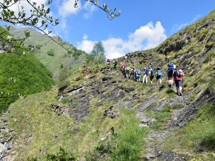
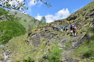
Turn right and proceed along the steep ridge, taking on a stretch of limestone rock, where you will need to use your hands for greater stability.
Continuing along steep, somewhat exposed slopes, pass other knolls from which great views open up to one side towards the Maritime Alps and to the other towards Monviso, Mount Tibert and Punta Tempesta. Once you reach the grassy summit of Crest di Mulets (2,411 m), the view opens up even more.
Continue downhill on the opposite side, following a trail with a slippery gravel surface. Descend about a hundred meters to reach Col de Mulets (2,310 m). After a short ascent, follow the sign for the Viribianc summit, which leads you to turn right, on the Grana valley side, towards the secondary summit of Viribianc (with patches of snow possibly remaining until late spring). Steep zig-zags take you to a saddle between the main and secondary summits. Leaving the secondary summit on the left, continue on to the panoramic main summit of Viribianc (2,474 m).
Once back on grassy, rocky slopes, descend to the stony Viridio Pass (2,399 m), from which there is a potential return route to Chiappi that shortens the itinerary.
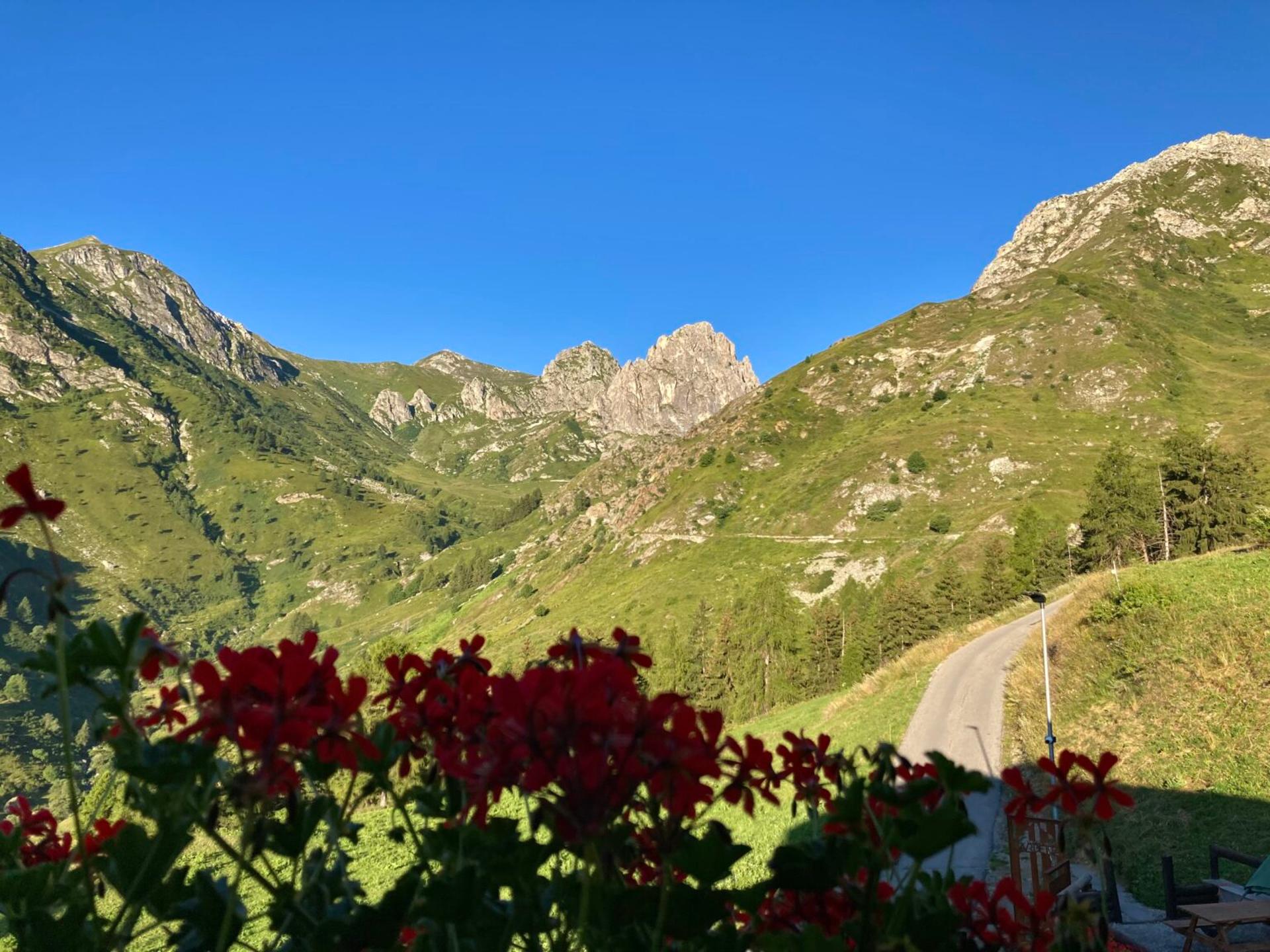
Continue climbing through the limestone terrain towards a first knoll and then zig-zag up to the top of Mount Viridio (2,501 m), the highest point of this outing, where you will find a small metal cross. Among meadows dotted with edelweiss, you can enjoy magnificent views of Becco Grande and Rocca la Meja.
Once back on the trail, continue downhill along easier terrain to Colle di Cusier (2,390 m). Heading slightly uphill, cut across the slopes of Punta Parvo, which you leave on the left, where you will then follow the Riccardo d’Epifanio trail in reverse.
Once at the base of the rocky Parvetto, which could be climbed with a short detour, turn left to descend to Colle del Nais (2,419 m).
From here, descend into the Parvo valley with a steep, serpentine descent that cuts across the steep northwest face of Parvetto. After passing a saddle at the foot of Rocca Parvo, the trail continues, chopped up by livestock traffic, along a steep slope through a mountain pasture and then descends decisively to the paved road below that connects Castelmagno with Colle Fauniera.
Three hundred meters of descent on the paved road bring you to the Langra hairpin bend, where a trail to the right leads to Chiappi along the left bank of the Grana di Fauniera river. This stretch, which closes the loop, could be a bit problematic in summer due to overgrown vegetation. After about a kilometer, cross a grassy dirt road that descends towards the river and goes back down to the Pont di Moulin bridge, closing the loop. All that remains is to cross the bridge, then make a slight ascent to the right in the footsteps of the outward journey to return to your car.