VALLE STURA
BECCO NERO
approx. 10 km (6 mi)
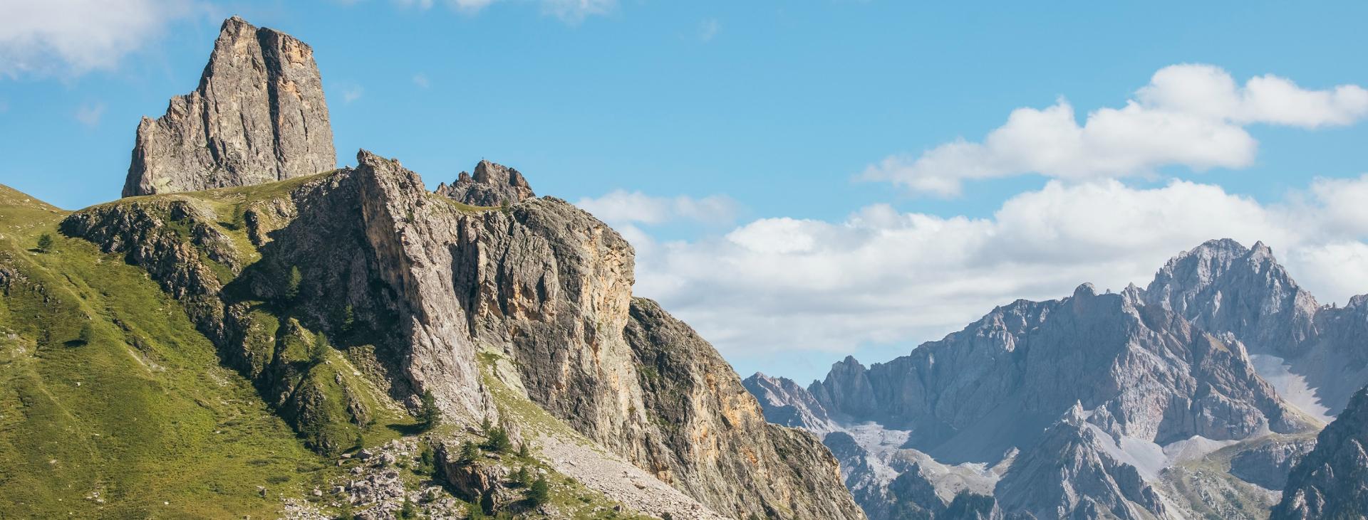
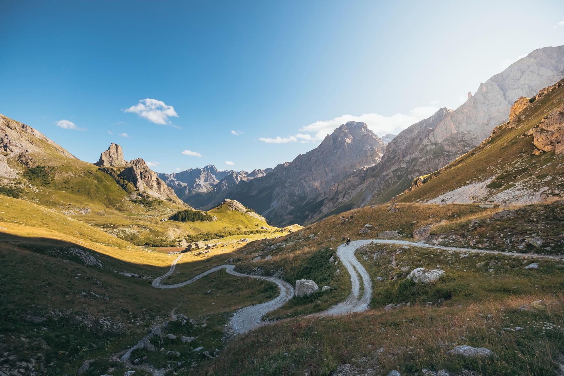
At the intersection of the Stura, Grana and Maira valleys, at an elevation of over 2,000 m (6,500 ft), you will find vast meadows surrounded by dolomitic peaks. It is a true natural amphitheater that converges on one of the most beautiful mountains in all the Cuneo Alps: Rocca la Meja. On this itinerary, which is suitable for all and especially for families with children, you will travel along a section of the panoramic military track that connects the opposing mountains of Valcavera and Passo della Gardetta and then loop past some of the best views of the dizzying south face of the spectacular Rocca la Meja.
Difficulty level
T (touristic)/E (intermediate)
Distance
approx. 10 km (6 mi)
Starting altitude
2416 mt
Altitude difference
300 mt
Lowest / Highest point
2,629 m (8,625 ft)
Season
SUMMER
Targets
FAMILIES , SPORTSPERSON
It should be noted that the mountains are an environment subject to constant change and conditions that can vary depending on the weather, the season, climate change, and human influence. The authors and ATL del Cuneese (the Cuneo board of tourism) decline any responsibility for any injury or other harmful consequences deriving from use of the information provided. Each itinerary is to be followed at your own risk.
No result found
No result found


Discover
more

Ignoring the road on the right that heads to Colle Fauniera (or Colle dei Morti), take the one that turns left towards Colle di Valcavera. After a slight downhill hairpin, this becomes a dirt road and goes around the slopes of Test. This section is open to traffic, but, except on summer weekends, you won’t encounter many cars.
At the center of the Gias Chiaffrea basin, there is a splendid pyramid of rock, which is curiously not named, surrounded by debris flows that end in the pastures. Farther away is Colle Bandia, to the right of which is Becco Nero (literally: “Black Beak”), so called for the dark color of its rocks, which is overlooked by Becco Grande, which hides Rocca la Meja from view.
The dirt road runs along at a leisurely pace. Ignore two side roads that go up to the right and arrive at the flat Colle Bandia, preceded by a chapel of the same name (fountain). On the hill there are a few fortifications from the nineteenth century, which are now in ruins.
Ignoring other side roads, continue flat along the dirt road. You will soon reach Colle della Margherina, preceded by an unnamed lake. Here, the impressive form of the southern wall of Rocca la Meja appears suddenly, its dolomitic rock rising vertically from the meadows.
Once you have left the dirt road that continues to the Gardetta Pass, turn onto the more uneven one that rises to the right towards Colle d’Ancoccia. Pass by the ruins of the Margherina barracks, one of many military installations where troops were once housed, to reach the small La Meja lake, which is a great spot for a few photos.
If you’d like to make a little side trip, behind the lake you will find the narrow “Rosella” trail, marked by pink stripes that will take you steeply (with an elevation gain of just under two hundred meters) up to the top of Becco Nero, a panoramic point looking out over the entire area that you may not want to miss. It’s no wonder that, during the twenty years of Fascism in Italy, an observation tower was built here.
Continuing down now along the trail, pass by one of the bunkers of the Alpine Wall, the system of fortifications built by Mussolini to protect the Italian border in anticipation of World War II. This is known as Opera 311 and consists of two turrets that can still be visited with a little caution and a flashlight. Continue down to Colle d’Ancoccia, where the dirt road takes up again. After two hairpin bends, to get an even better view, take a trail to the right that descends to the meadows above the lake and returns to Colle Bandia.
From here, head back along the same route as the outward trip.
esempi di as xml: xml serveResource con templateId (chiave)
esempi di as json: json serveResource con templateId (chiave)
esempi di as json e siteId: json serveResource con siteid
en_US
What
to do
en_US
Experiences
No result found
en_US
Where
sleeping
en_US
Offers
en_US
Info

