CHIUSA PESIO, VALLE PESIO
ASCENT TO PASSO DEL DUCA FROM SAN BARTOLOMEO DI CHIUSA PESIO
65 km
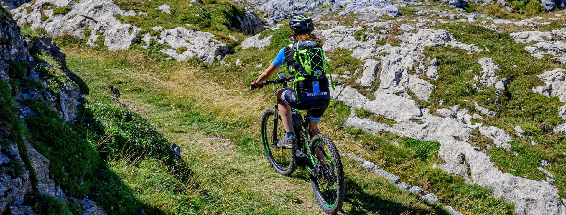
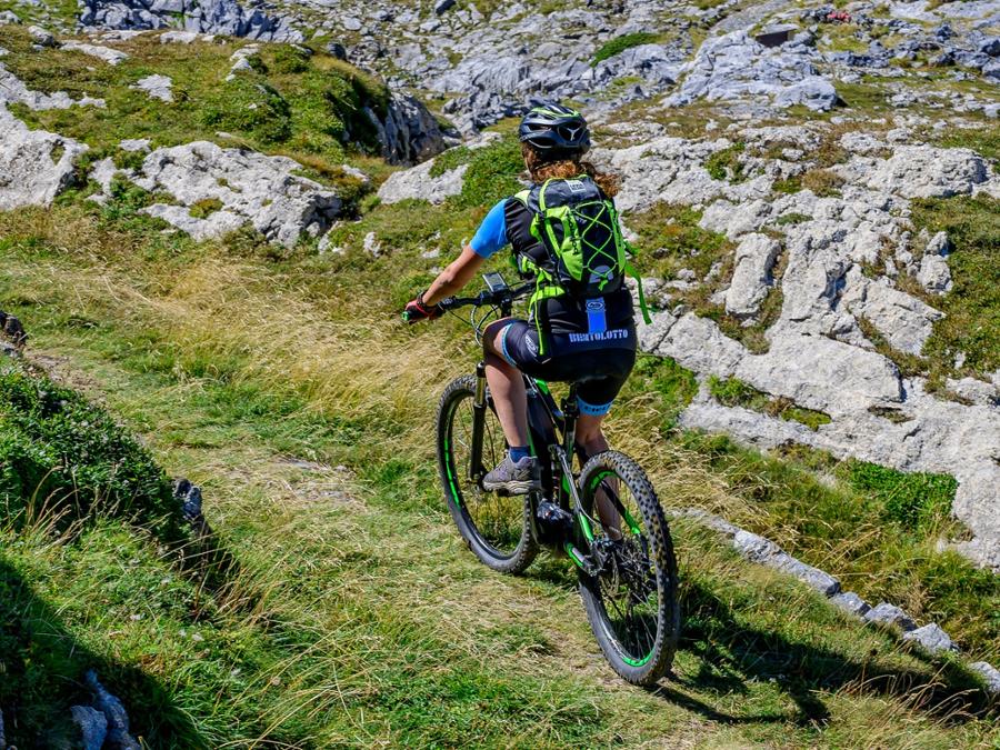
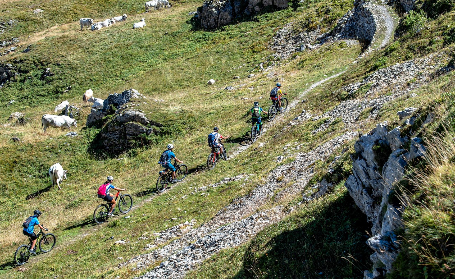
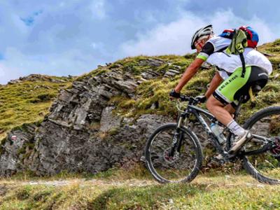
An incredible mountain-bike route and an important way into the Alta Via del Sale from the lower Cuneo and Monregalese areas, through the splendid scenery of the Parco del Marguareis, on the route of an ancient military roadway only recently recovered. From Chiusa di Pesio, you’ll climb the picturesque valley of the same name on ordinary roads through meadows and chestnut groves. You’ll pass the hamlets of Vigna and San Bartolomeo, and the ancient Charterhouse, with its enchanting cloister. A ring route, suitable for bikers with an average level of training given the bumpy surface on both the uphill and downhill stretches.
Please note that itineraries may include roads where motor vehicles are allowed. Authors and trail testers are not responsible for the information contained.
The Stages
the route
No result found
No result found


Discover
more
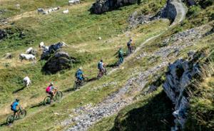
The full route is about 65 km long, with an elevation gain of over 2,340 metres. It is an itinerary that we recommend you tackle with a front or full MTB or E-Bike as the terrain it features is mostly unpaved and bumpy. A high mountain road where your hard work and sweat are rewarded by the pristine beauty of the landscapes and wealth of nature that you can admire. The route starts from San Bartolomeo di Chiusa di Pesio, and heads upstream, taking the provincial road in the direction of the Certosa in Pesio.
Once you reach the Charterhouse, which you can visit on your return, cross the bridge and continue on the paved road on your right which, after a slight climb, leads to the Pian delle Gorre refuge. From here, having left the paved road, take the dirt track on your left that proceeds through large conifers towards the Saut waterfalls. Here, after riding through the water for a short stretch, continue uphill on a narrow dirt track. The roadway becomes more challenging from here on and after crossing a striking fir forest, you’ll already find yourself at the Gias degli Arpi.
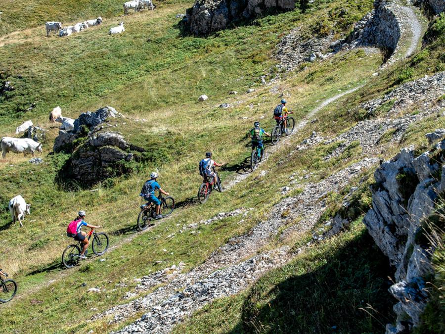
After passing the Gias degli Arpi, you’ll come across the rough, alpine valley of the same name, which features long and regular hairpin bends in a more open environment. From the meadows of the Prel hill, after a narrower section and a subsequent ramp where you will have to get off and push the bike, you will reach the narrow hollow of the Passo del Duca, marked by some fancy spires.
From here on, the track has been cleaned up but it is still in its natural state, with a more technical surface. A wild and panoramic stretch, with slight ups and downs through limestone rocks and mountain pines, leads to the Gias delle Ortiche. Continue uphill and cross the spectacular Karst region, touching fields of karst rocks, stony ground and dolines, between the summit of the Fascia and the Marguareis group.
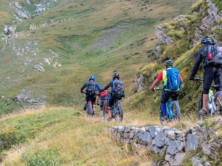
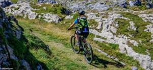
Once you’ve finally reached the Morgantini speleological hut, a short descent awaits you, in some places presenting difficulties and we therefore recommend that you tackle it with the necessary precautions. From here, cross into French territory, on the classic route of the Via del Sale. Turn left and ride the last 6 km (approximately) of the route to reach the Don Barbera Refuge. Return on the same route as the outward trip. Be careful at some points as the descent becomes technical and must be approached carefully.
Download Cycling and Cycling Tourism Itineraries in the Province of Cuneo