VALLE STURA, VALLORIATE
ALPE DI RITTANA
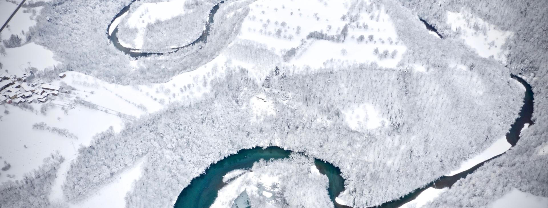
VALLE STURA
11 km circa
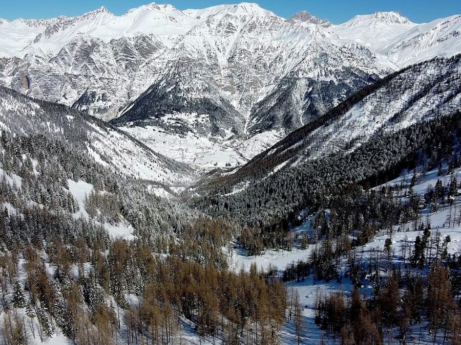
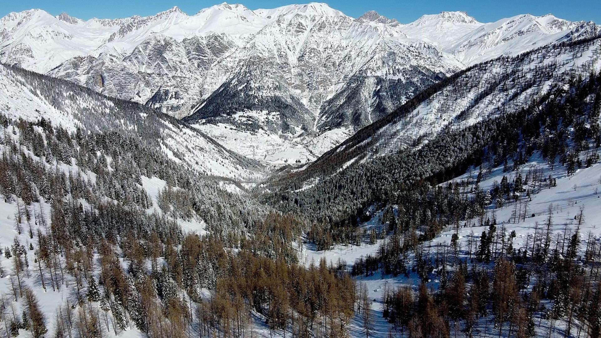
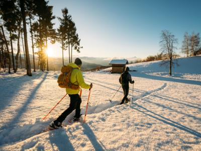
In winter, Alpe di Rittana resembles a broad, snow-covered ridge with no trees between the Stura Valley and the Coumboscuro Valley. Despite not being particularly high, its vast panoramas range from the Bisalta Massif to Monte Rosa, taking in much of the Alpine arc.
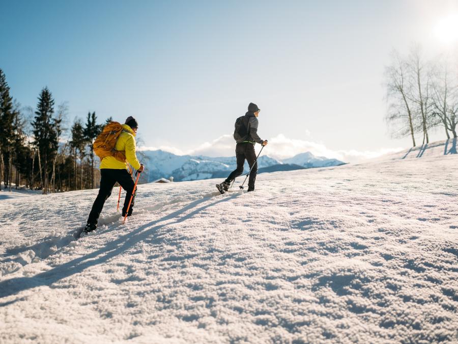
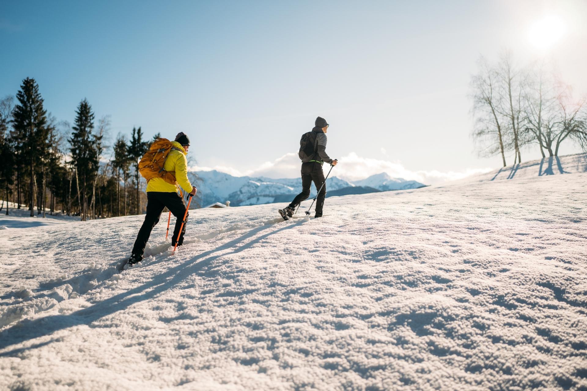
This itinerary should only be followed when the snow cover is compact.
The Stages
the route
No result found
No result found


Discover
more
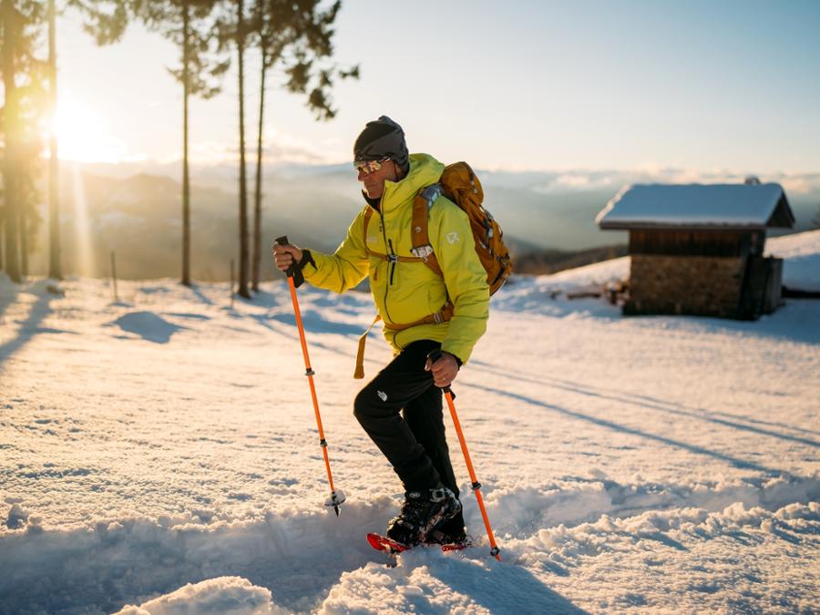
From Gorrè (Rittana) take the winding, snow-covered asphalt road up to the Chiot Rosa Pass (1,188 m). It can be reached by car in summer. There are several huts in splendid panoramic positions.
Continue past them on the asphalt road that then climbs towards the south-west. Every now and then, fine views are revealed towards the hump-like Mount Tagliarè. This itinerary passes through the villages of Chiapera (1,251 m) and Grain (1,271 m) with superbly restored huts and others by now in ruins.
Further on, a sharp bend passes by the Sarretas stream. A ramp leads up to the hamlet of Paraloup (1,362 m). One of the houses is now the Refuge of the same name.
During the Resistance, the village became the headquarters of the first partisans in Piedmont and probably in Italy itself, including Duccio Galimberti, Dante Livio Bianco, Giorgio Bocca and Nuto Revelli. Thanks to the Revelli Foundation, led by Nuto's son Marco, and other entities, the houses have been partly renovated and are used as an Alpine refuge or museum.
Before entering the village, take the rough track climbing on the right, leading to a beautiful birch wood higher up. Several hairpin bends gain altitude and then come out into the open near a stone hut.
One hundred metres further on, do not take the detour on the right but follow the short ramp. The track bends to the right to cut across the slopes of Arpiola (given the potential risk of avalanches, this section should only be tackled in safe snow conditions).
At the end, turn round and move on to the watershed. There are excellent views here towards Coumboscuro, a side valley of the Grana Valley, and the peaks surrounding it: Beccas del Mezzodì, Rocca Radevil, Grum and Bram.
Continue along the wide ridge, passing by the large wooden cross of Arpiola (1,622 m).
The ridge suddenly becomes very steep. Two hillocks then lead to a pass prior to reaching the Alpe di Rittana mountain top (1,796 m), surmounted by a small wooden cross and another in metal. Despite the modest altitude, the strategic position close to the plain ensures a great view over the entire arc of the Ligurian, Maritime and Cottian Alps.
Return down to the Arpiola cross and then continue along the ridge northwards. At the end, if snow conditions so allow, leave the outward route and descend the steep ridge directly down to the wood below near the village of Francila.
Leaving the summer path to proceed eastwards, cut across and down the slope below towards the south-east to rejoin the road to Paraloup. Then return along the outward route back to the car park.
Download Snowshoe and ski mountaineering itineraries in the Cuneo and Haute Provence Alps